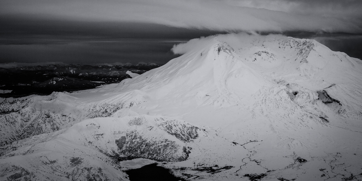
The Monitor Ridge Route is a popular climbing route on Mount Saint Helens. Being both non technical and the highest access it sees a lot of traffic once summer hits. Though the area doesn’t get plowed the Climbers Bivy trail starts at 3,800 feet. Being on the southern aspect and splitting between both SW and SE you can find great corn both early in the day or late in the afternoon. Best of all if the snowpack is low it is one of if not the longest ski descent on the Volcano at 6,100 vert. For the season I wanted to ride all 5 volcanoes of Washington State and this would be the first.
Approaching the Monitor Ridge Route
After a long drive we arrived at a dead end spot in the road around 1 A.M. We were surprised to see another car as most people climb via Marble Mountain Snowpark. Knowing we still had a few hours before it was light we decided to take a nap. The next morning we woke up with a clear view of Monitor Ridge in the distance. Though we were still a ways away from the base of the volcano it seemed like a clean route.
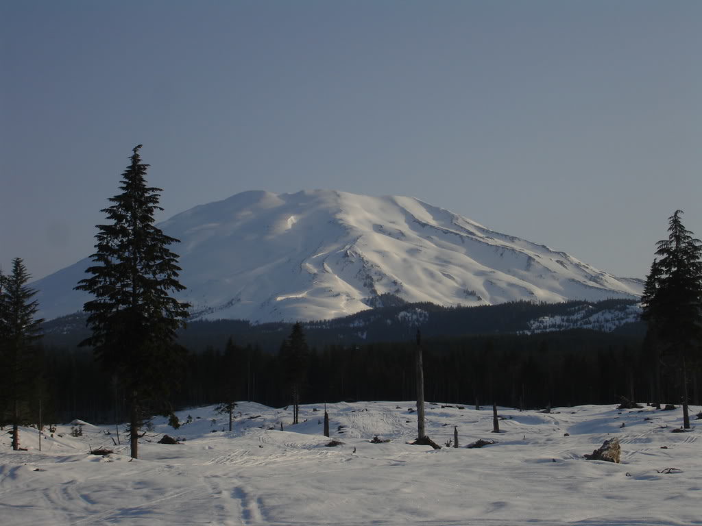
Getting our gear sorted we started talking to the other group preparing for there day. They were two skiers from Jackson Hole and had similar plans to climb Monitor Ridge. We decided to stick together as a group so our party of three turned into 5. Soon enough we were leaving from Cougar Snowpark at around 2,200 feet. Immediately the road was buried under a thick snowpack as we made our way past the lower dense forests.
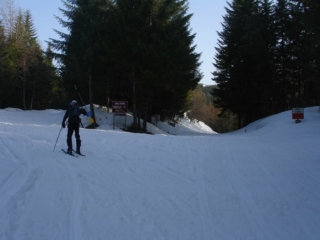
After 6 miles of skinning on the road we realized we were a bit west of the Monitor Ridge Route. We had gone a bit out of the way and needed to head a bit east to get back on the route. Fortunately the mountain rose high above the trees and was always visible. It was time to break trail through the forests and gain elevation into the alpine.
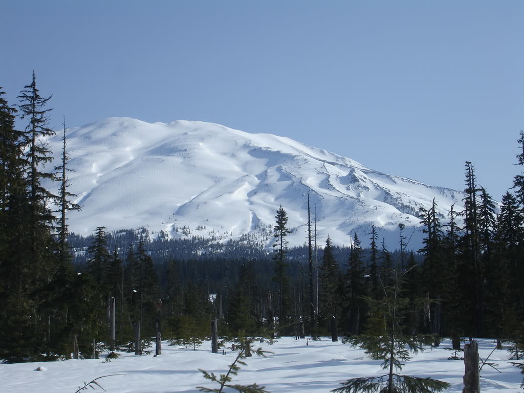
Heading Through the Woods After Passing the Monitor Ridge Trail
After dealing with the flats at the base of the mountain we found ourselves in a gully. Though the forests were decently thick it was easy to head in the right direction. We had lost over an hour going the wrong way but once in the open area everything would be straightforward. Finally once we made it to the edge of tree line it was time for a quick break. Looking at both the map and the volcano we quickly found out we what valley we were in.
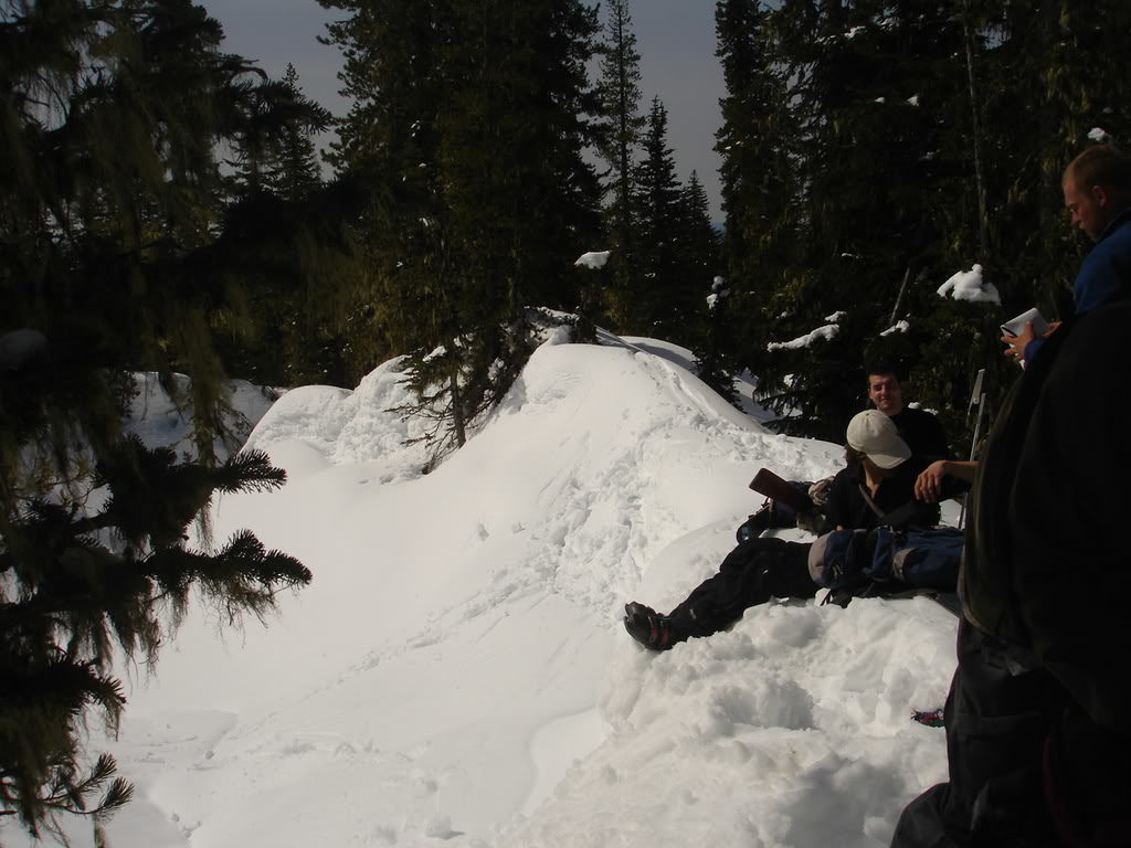
By now we were a bit west of Monitor Ridge but in close proximity. Since we weren’t on the ridge itself we decided to head up the bowl. It would be easier skinning and still gain access to the summit. Once a bit higher we would reconnect with the main route and get an idea of potential descents.
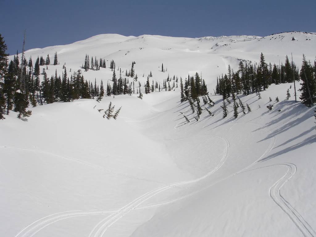
Before long we were above the treeline and making up for lost time. By now we only had another 3,000 feet of elevation to gain the Crater Rim. Below us we knew we would have to skin through forest to return to the road. Fortunately it was a perfect clear sky day with little winds. As long as we were descending around noon it would be great ski conditions.
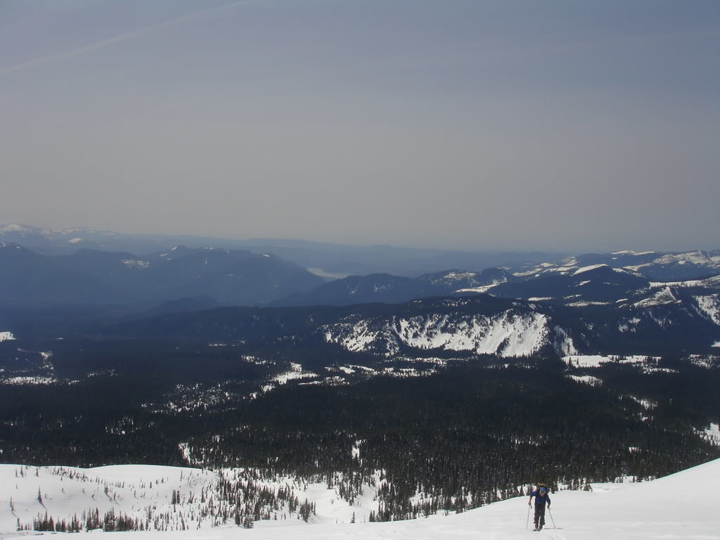
Making Our Way up the South Side of Mount Saint Helens
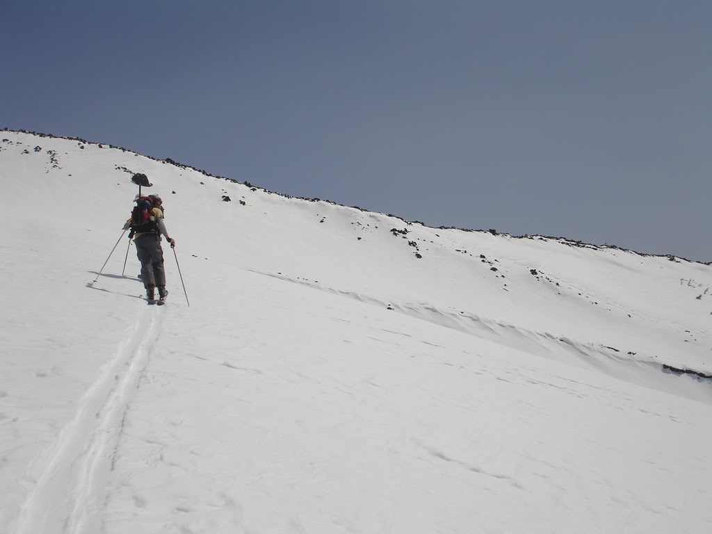
A switchback at a time we made our way up Mount Saint Helens. By now the snow was soft enough that it was easy to skin on the surface. Putting in our skin track we worked with the terrain and found an easy route up. Being low angled there was no need to crampons or ice axes.
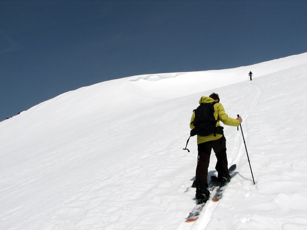
Once near the top we made a hard right and made it to the edge of Monitor Ridge. Though we were in a deep snow pack there were still rocks exposed on the wind swept ridge. Though it would be a great climbing route it would be bad for skiing on. We would have to descend down the same way that we climbed up.
Arriving on the Crater Rim
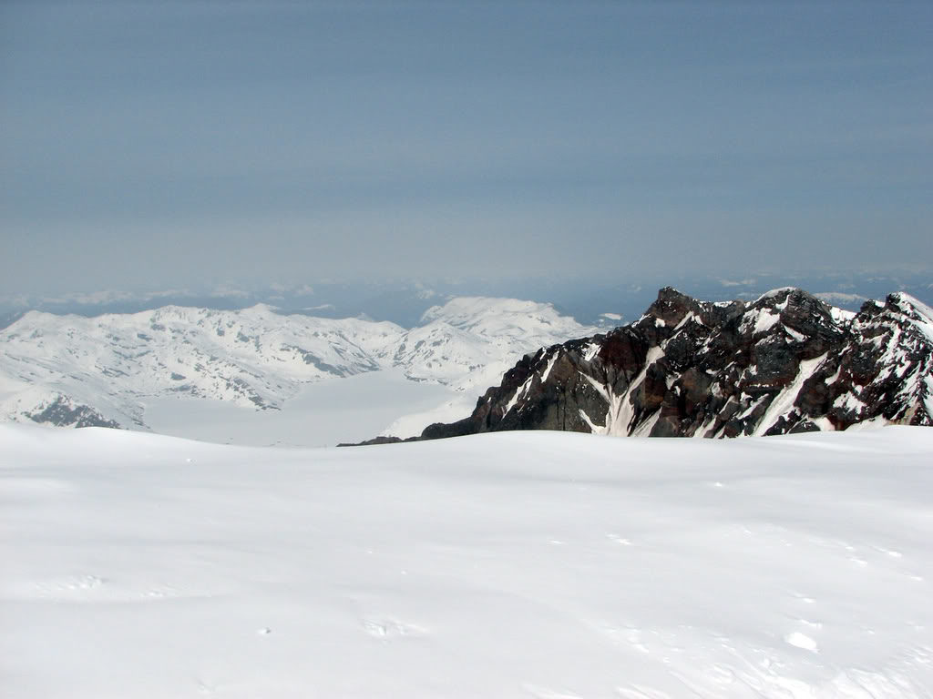
Soon enough we had made our way up to the Crater Rim of Mount Saint Helens. Not being able to see if we were standing near a cornice we decided not to walk to the rim. Though we couldn’t see into the Crater we could see Spirit Lake to the North. It was wild to see mountains at such low elevation but without trees. This whole area had been blasted clear of vegetation from the 1980 eruption.
After taking in the view it was time to transition for our ski descent. Below us we were going to ride over 6,000 feet just west of Monitor Ridge. The plan was to follow our skinning route which would easily get us through the lower forests and back to the road. By now it was 12:30 and though a bit later then we planned it would still be great corn.
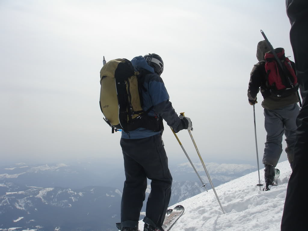
Soon enough we were strapped in and looking down our line. Unlike a previous trip this time there were no clouds to be seen and we were excited about the descent.
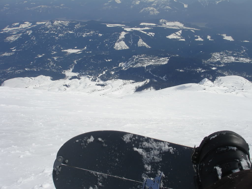
Riding off the Crater Rim we found the snow soft but wind effected. Though we were able to make got turns the snow was bumpy but would soon be smooth. This was a new route for us and since we had climbed it we knew there was great terrain below.
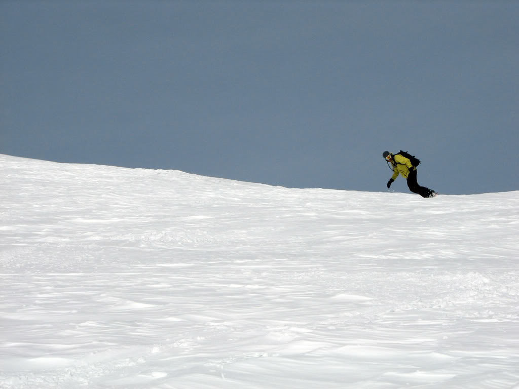
Descending Just West of Monitor Ridge
Making our way towards the gully we stayed just skiers right on Monitor Ridge. We used it as a handrail to make sure we stayed on the right route. It wasn’t long before the snow became smooth and we were in wide open terrain with enough space for each of us to make our own tracks.
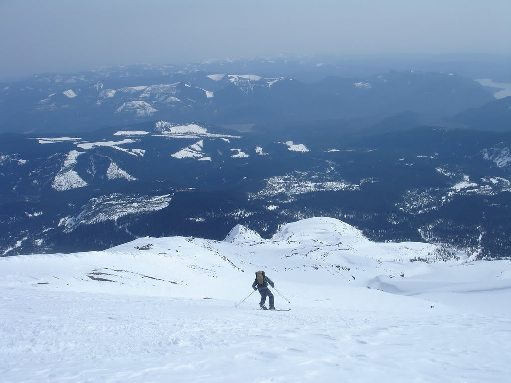
As we lost elevation the terrain quickly improved and we were on the edge of the gully. Soon we would me on more wind protected terrain and riding a 5,000 foot bowl all the way to the valley below. We would be riding fall line from top to bottom.
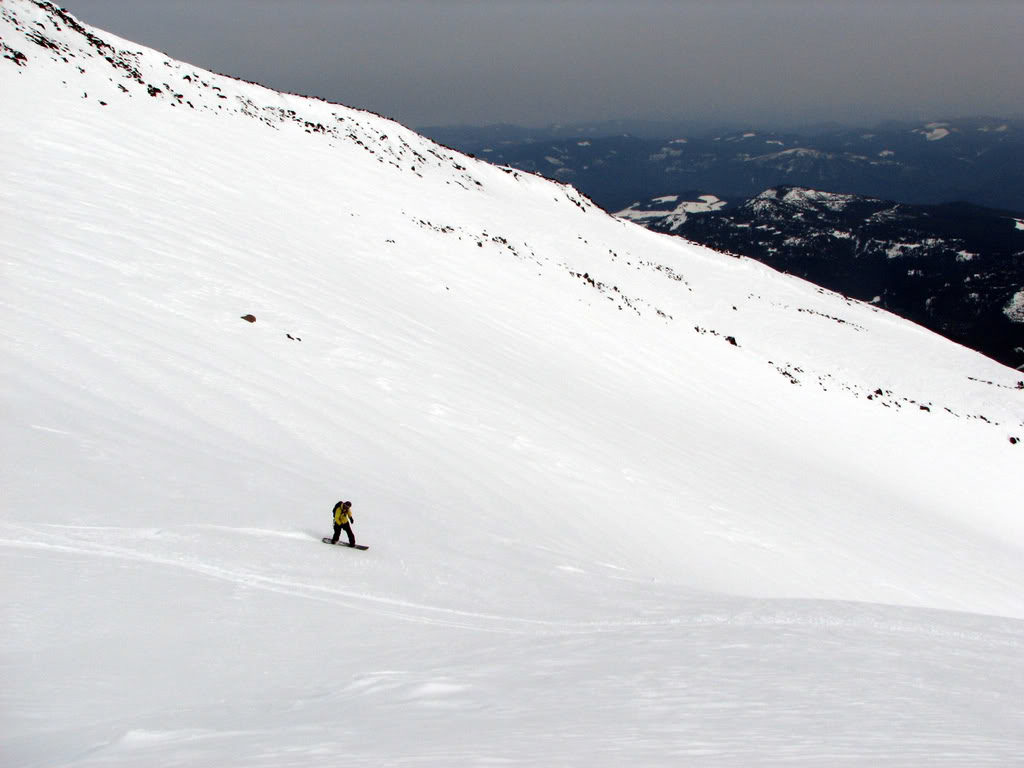
Soon we were in the main gully and ripping our way down the south slopes of Mount Saint Helens. Though the sky was relatively clear it had a haze to it but visibility was perfect. The lower we got the softer the snow became but it wasn’t slush.
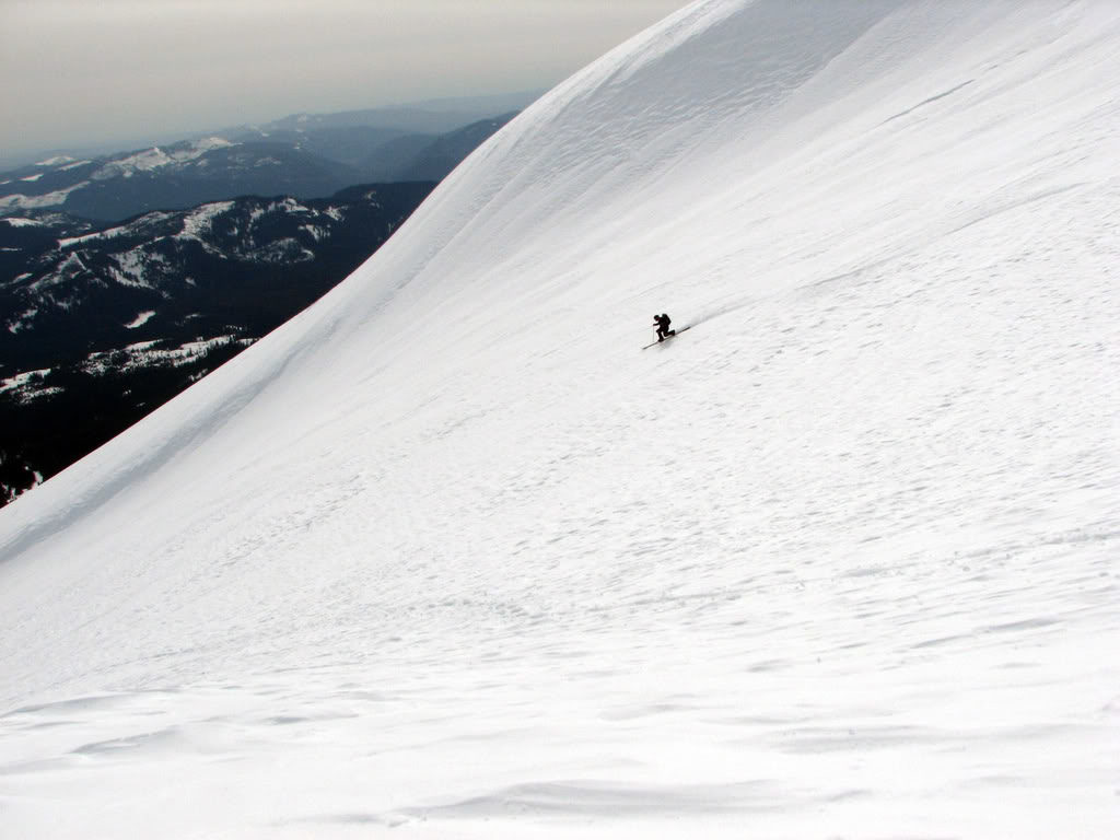
Heading down the gully we were next to Monitor Ridge the entire time. Knowing that we couldn’t get lost as long as we stayed in the valley we would stop every thousand feet to snap photos. Though the terrain wasn’t as steep as the Worm Flow Route it was a sustained route.
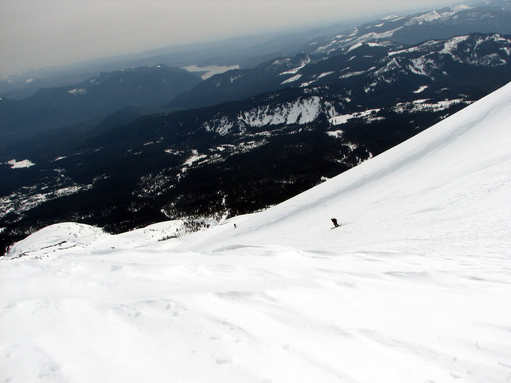
Riding in a Gully all the Way to the Valley Below
As we made our way lower in the gully the occasional rocks were now sticking out on Monitor Ridge. We would have to be careful hitting the left sidewall but the right area was much deeper. With predominate winds coming from the west we could see how it formed the slopes.
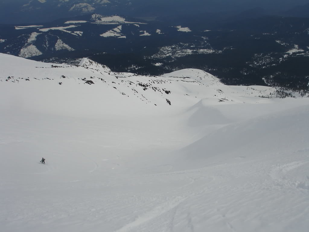
Soon enough we were back on our ascent route and making our final turns towards the trees. It had taken us 4 hours to climb but we were at the base in 30 minutes. By now the lower slopes had changed to deeper slush from the sun. Keeping our speed going we cranked turns to make it as far as we could. Soon enough we would be back on the road and skinning back to the car.
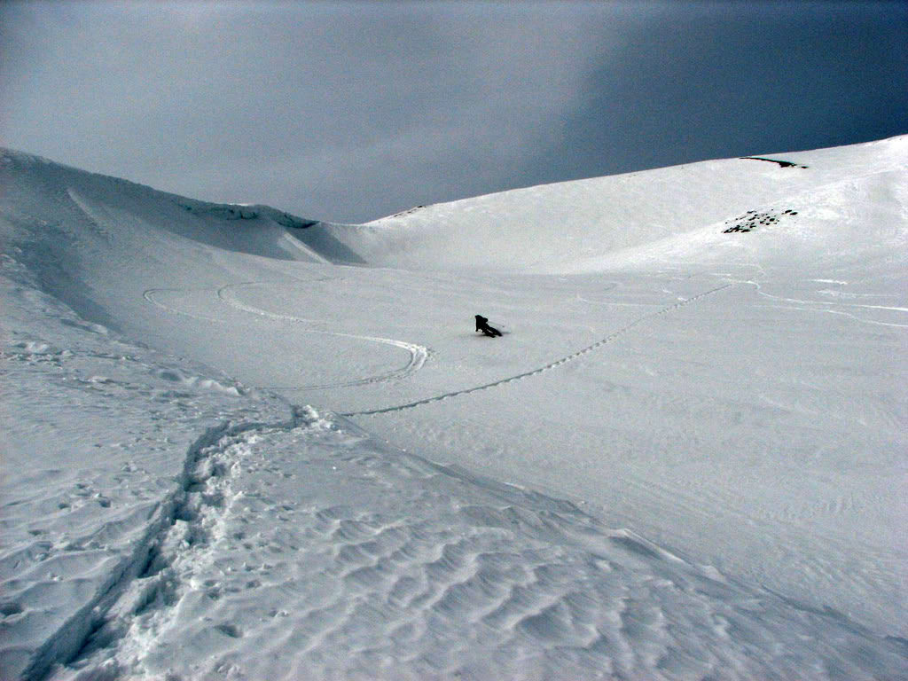
Following our tracks we were able to ride to within a mile of the road. Looking back up by now Mount Saint Helens was buried in clouds. If we would have descended an hour later we would have been in a white out. Instead we had perfect conditions and weather. Though we weren’t sure what to expect with the Monitor Ridge Route we found it to be both fun and straight forward.
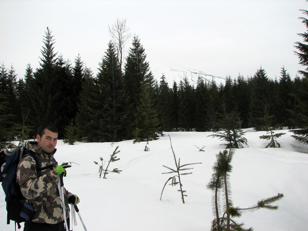
After a 6 mile skin on the flat road we soon arrived at our cars. It was time to head back to the city so we said goodbye to Kiel and Reed and good luck on there road trip. Before long Scott, Dan and I were making our way back to the Tacoma. It had been a great trip up near Monitor Ridge Route and well worth returning to in the future.

