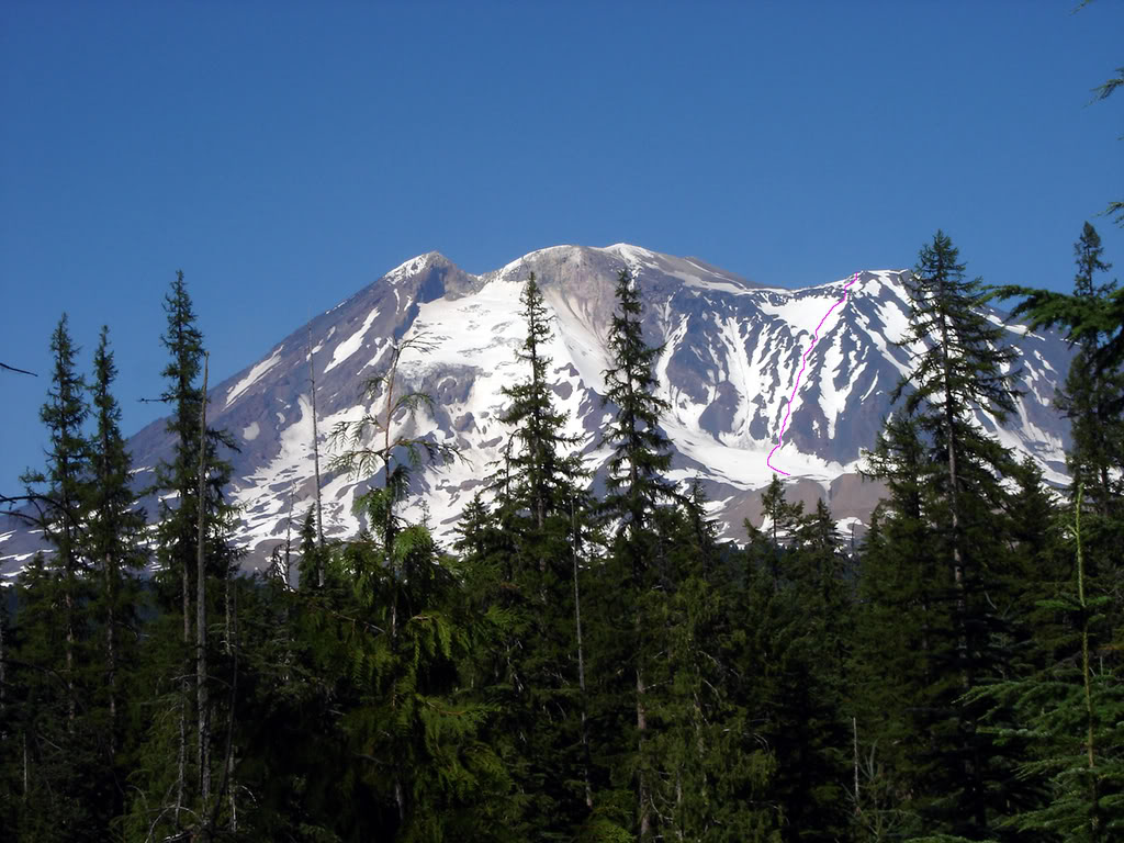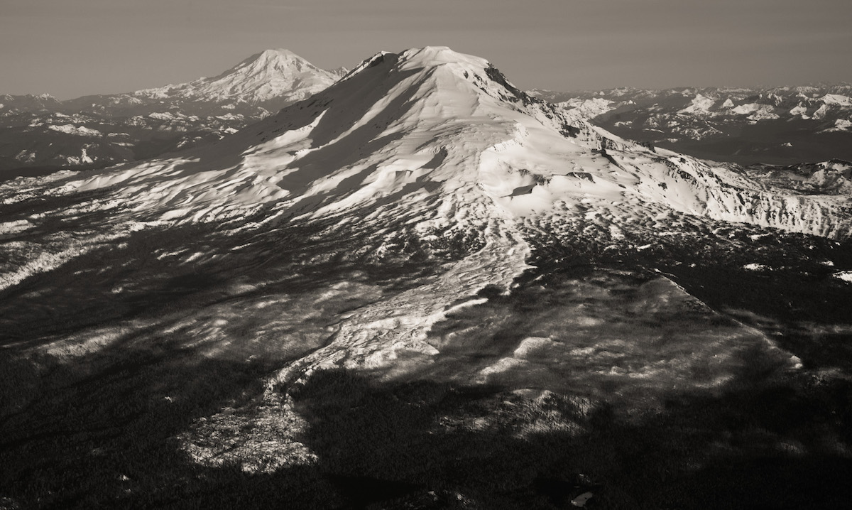
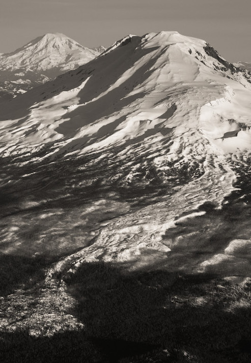
Twenty-four hours after arriving at Sea-Tac international airport I was in a car with Jessie Rowe driving 200 miles south. The plan was to ride Mt. Adams via the Avalanche Glacier Headwall. Being Washington’s second-tallest peak and one of the last places to find steep, smooth corn its a great early Summer descent. With a favorable forecast of two days of back-to-back sunshine we arrived at the Cold Springs campground at the early hour of 11:00 p.m. The parking lot was filled to the brim with climbers, hikers and skiers.
Heading Up Mount Adams to Ski the Avalanche Glacier Headwall
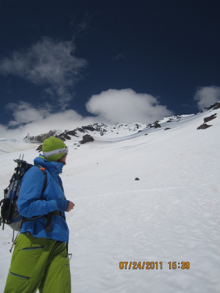
The silence of night was broken by the alarm going off at 6:00 a.m. we resorted to the snooze button for a few extra minutes of sleep. By 6:45, we were slowly moving and packing our bags for a long day. Our plan was to climb Mount Adams southern route before descending the Avalanche Glacier Headwall. From the moment I stepped on the trail, I was blown away by how much snow still lingered in the Cascades. It was the end of July, but felt like early June as we followed a solid path of boot prints. Before long we ditched the trail for a more direct path. The snow was firm as we skinned up, forcing me to use ski crampons. Once on the steeper slopes I switched to cramponing for the final 3,000-foot climb.
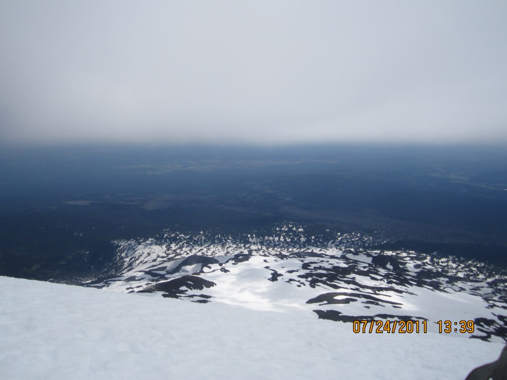
The well-established boot pack went in all directions as I climbed. Keeping a consistent pace we watched the weather slowly deteriorate below us. By noon, I was standing on top of Pikers Peak and looking at the true summit enveloped in a lenticular cloud with occasional breaks. I decided to do the final summit push, knowing I could get myself down by following the beaten-in trail.
Arriving on the Summit of Mount Adams
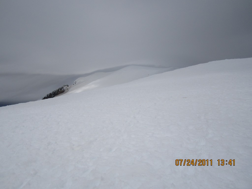
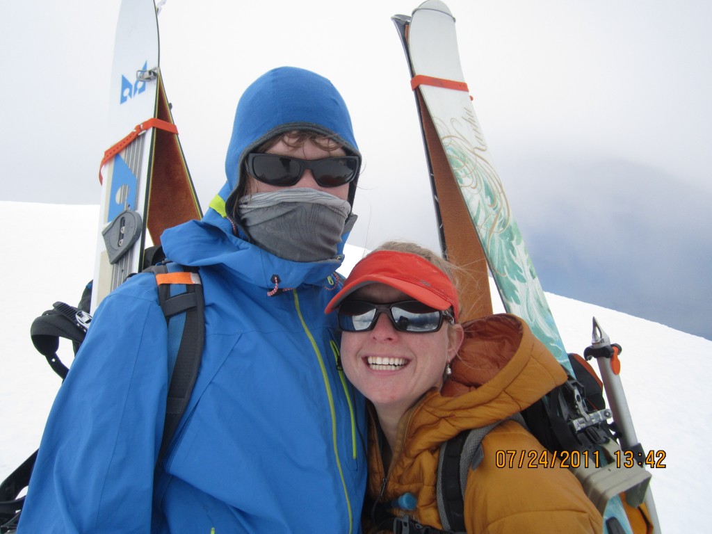
By 1:30, I was standing on the true summit but you could never tell. It was a full-on whiteout with visibility around 20 feet. No time could be spent to celebrate yet another summit, and being one step closer to finishing my seasonal project. We transitioned to ski/ride mode and were on our way down. A few hundred feet down visibility once again returned and we decided to go with our original plans: the Avalanche Glacier headwall. The Avalanche Glacier Headwall is a tad bit steeper than the standard southwest chutes. Being just the next ridge both the enterance and exit are from the within 100 meters of the Southwest Chutes.
Dropping into the Avalanche Glacier Headwall
Before long we were standing at the entrance to the Avalanche Glacier Headwall. It was a blind roller that quickly transitions from 15 degrees to a sustained pitch of 45 degrees. Our hearts pumped as we dropped onto the steep slopes, fearing icy conditions.
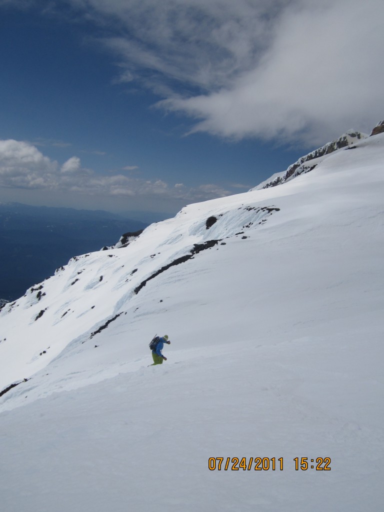
Quickly we found the slopes to be in perfect rip-able conditions. The next 3,000 feet went by in minutes, as each turn sent us down 20 vertical feet . The terrain of the Avalanche Glacier Headwall was consistent as we made our way down to the glacier.
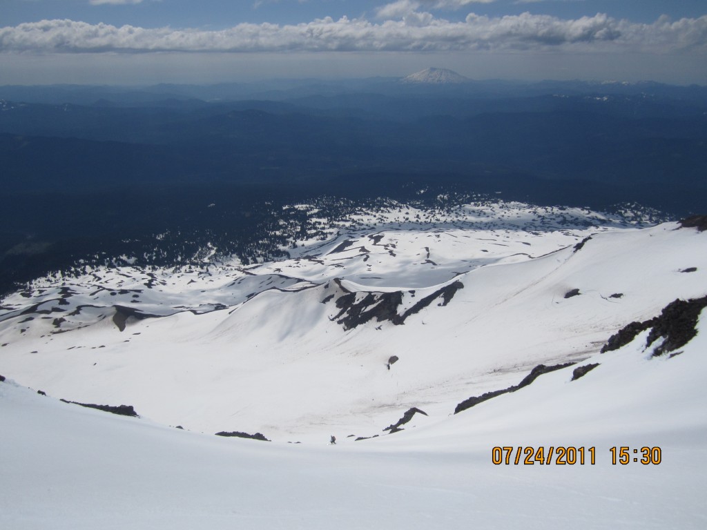
Finally at the bottom we took one final view back up at our route. We were fortunate to have rode it in such good conditions but still had a long exit in front of us. It was time to get moving and we would have to do a bit of an ascent to get back to the Cold Springs Campground.
After descending to the Round the Mountain trail we made our way back to the trailhead. Finally we reached our car at around 6:00 p.m. It had been a long day of climbing 7,300 feet and descending around 6,000 vert. Not bad for the last few days of July. But more importantly, I was stoked because I had climbed nine out of the 10 tallest peaks in Washington and had one left: the mighty Mt. Rainier!
