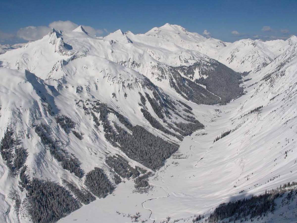
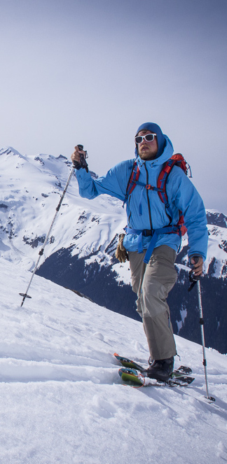
Tenpeak Mountain had always caught my eyes while on trips out to Glacier Peak. Standing on the summit I would always look toward both the Dakobed Range and Tenpeak near the head of the Suiattle River in amazement. With the mixture of both massiveness and remoteness it was always a place that I had wanted to spend some time on. Scott, Ben and I crafted a plan to get out there with a two day weather window. The plan was to go up and over Boulder Pass before descent to the Napeequa river. Once in the river valley we would head west to Tenpeak Mountain before an exit via Thunder Basin.
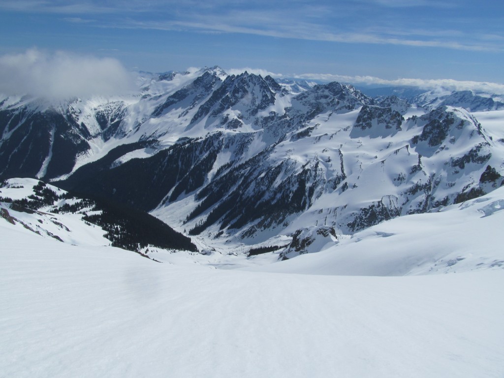
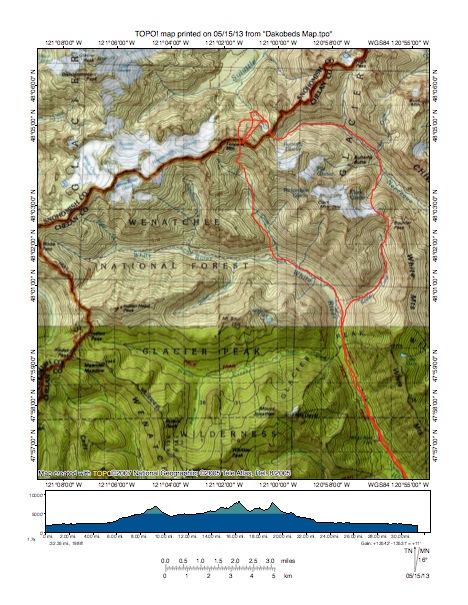
Damn the White River Road! I had been there 3 times before and each one was a epic slog. I knew what we were in for but sadly Ben and Scott only had an idea of the painful approach ahead of us. We would start off on the same route that Jason and I had taken previously in the Dakobed Traverse but instead of traversing alpine we would head down into the Napeequa valley. This route would be in the same valley as Bandit Mountain and the Black Hole Couloir but instead we would be in the upper valley.
Heading up the White River Valley Towards the Dakobed Mountains
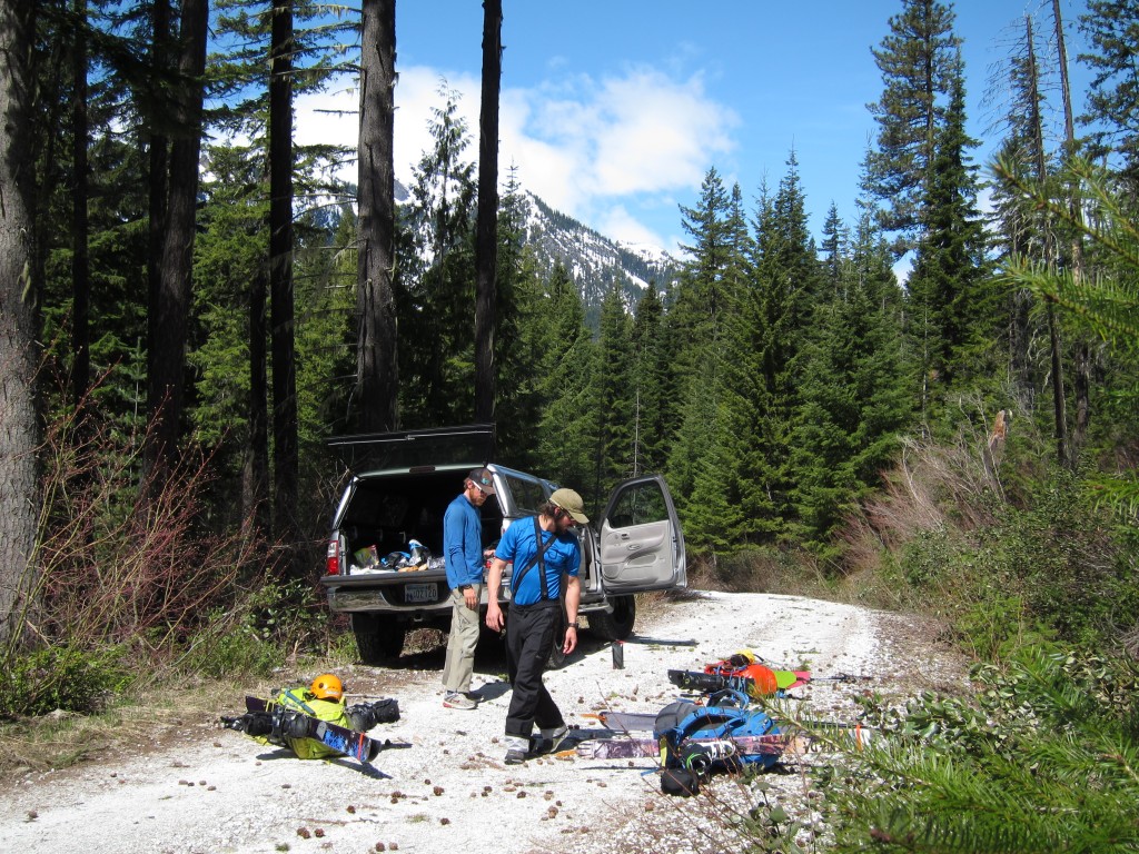
With only a few hours of sleep and coming off 4 days of climbing in North Fork Bridge Creek I enjoyed our 11 A.M. departure from Scott’s truck. We had driven right to the edge of the snow line and from the get go we knew it was going to be wild times. Packing our bags we knew it was going to be a brief trip but decided against going light. Soon my backpack was filled with a 4 person tent and enough luxurious cheese to keep us going for days.
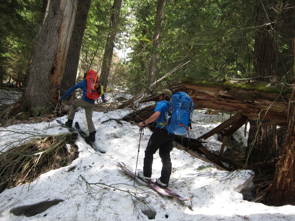
While making our way up the White River Valley there wasn’t a single second of easy travel. From fallen trees to open swamp the low lying forests of Glacier Peak Wilderness kept throwing obstacle after obstacle our way. Though it was a long slog and painful we knew we would be rewarded for our effort soon enough.
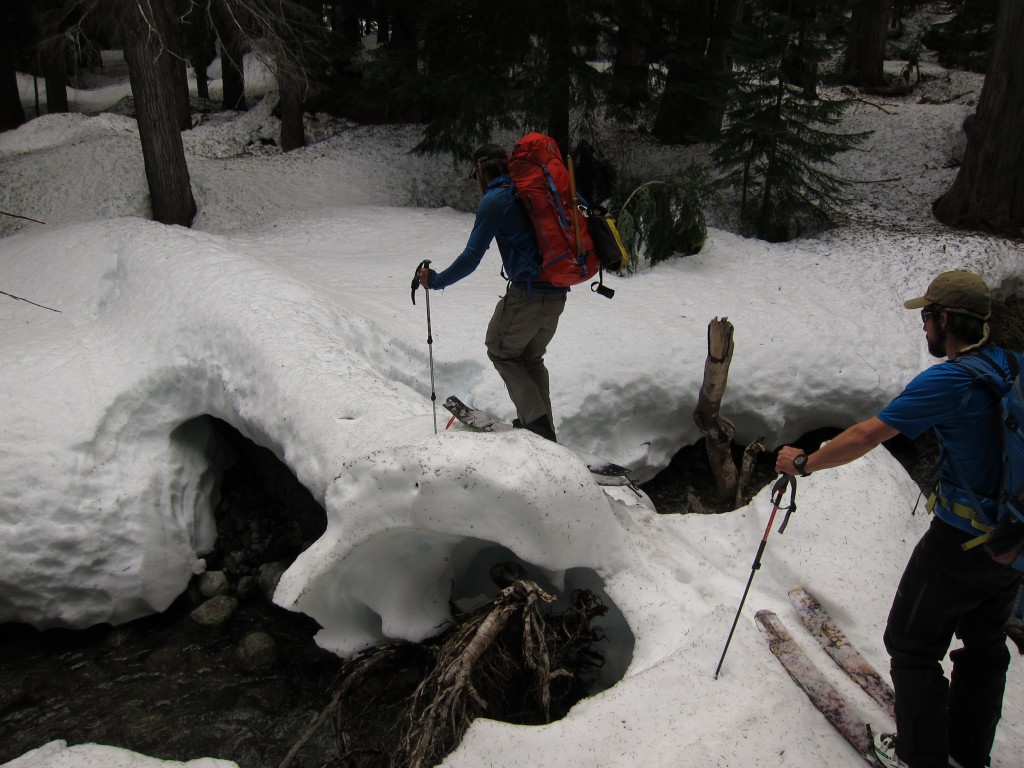
Pushing forwards we would make our way past an endless amount of creeks. Making our way to the shores the focus was always how to cross it without taking our skis off. Sure taking off your skis once or twice is fine but after 20 times you would skin over anything.
Before long we were on the break off towards Boulder Creek and it was time to start gaining elevation. Having followed the low valley before to do Glacier Peak there was a sigh of relief that we would be taking a right and in the alpine soon. We would save the pain of the valley for our exit as we would be heading down Thunder Basin.
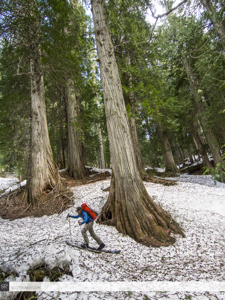
Turning off the White River and Heading Towards Boulder Pass and the Dakobed Range
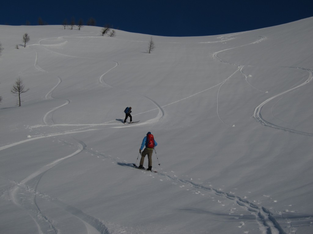
We skinned for eight hours straight through the jungle before finally arriving in the alpine. There was a feeling of relief as the terrain opened up and we could see it would be relatively straight forward travel. By know there was only an hour or two of light left so we kept pushing north. Hopefully we would arrive at Boulder Pass before dark.
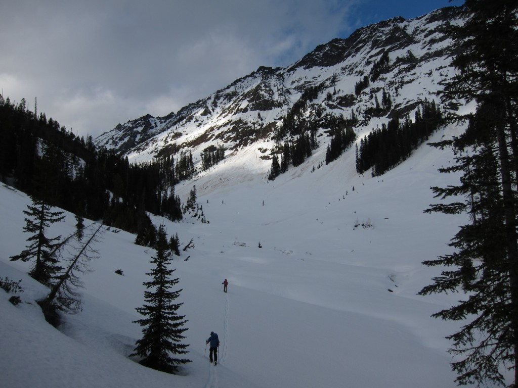
By the time we were near Boulder Pass the sun was setting to our backs. We had made really good ground during the day but we were looking forward to setting up camp. Finally we had arrived on the edge of the Dakobed Mountains and about ready for the real adventure to start.
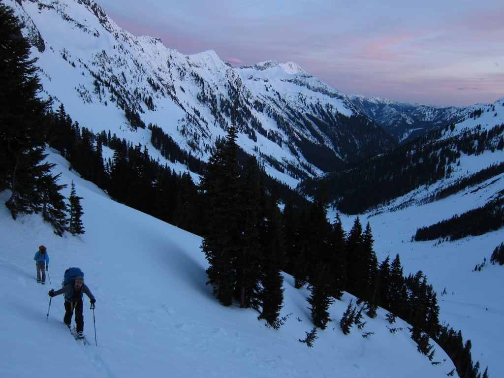
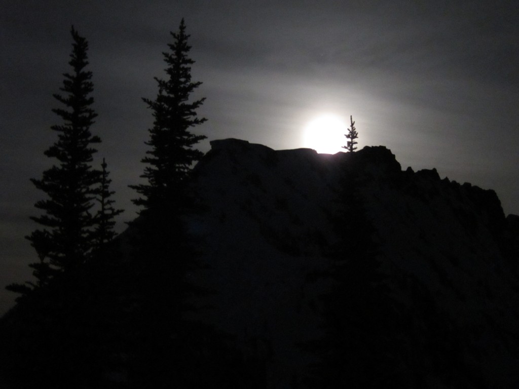
As darkness ascended on Boulder Pass we put up our 4 person tent and started focusing on the map. Hopefully if the plans went smooth by the end of the next day we would be on the slopes of Tenpeak Mountain. As we started getting into our sleeping bags we noticed the sky lighting up outside. Making our way outside we were seeing a full moon crest over the mountain to our east and illuminating the Napeequa Valley.
Day 2: Boulder Pass to Tenpeak Mountain in the Dakobed Range
NO more Slog, well kind of. Instead of jungles we would descend to the Napeequa and skin along the river. If all went well today was the day to ride as weather was supposed to turn the next morning. Knowing all this we woke up near sunrise and took in the light show as we got our gear together.
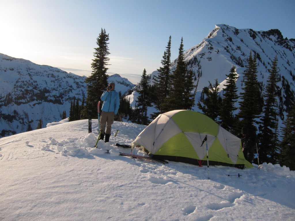
Being on the eastern side of the Dakobed Range we had a clear view of Mount Clark. This was my second time in the area and it was nice to see it earlier in the season. My previous time in the area was early July and now we were out here in mid April. Though it was the same place the snowpack made it feel like a different world.
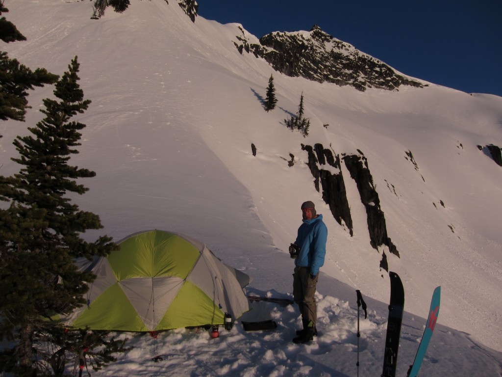
Entering the Dakobeds
Before long it was time to pack up and get moving for the first descent of our trip.. We decided the best route down would be the north slopes of Clark Mountain. With our boards on our packs we made our way up the steep traverse from Boulder Pass up to the Clark Glacier.
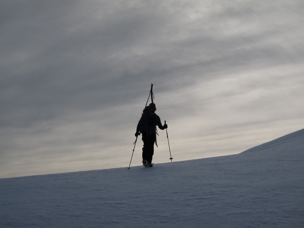
Looking down we had a wide open run of more then 2,500 feet to the valley bellow. It was a great way to start the day. Within minutes of leaving the tent we were climbing in the Dakobed Range. Before long we found a good spot to transition and we were ready for our first turns of the trip.
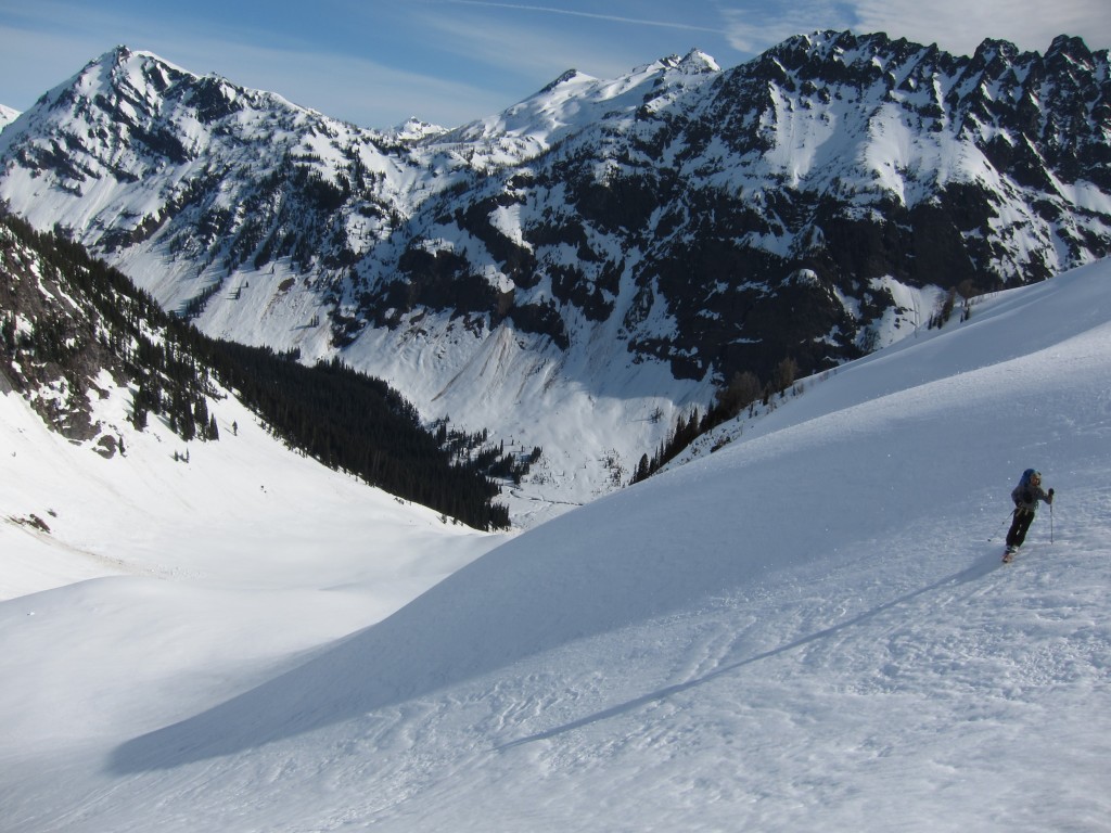
Dropping in we were happy to find fast and smooth snow putting our tracks on the features of the slope. What had taken us a day to get on top of was descended in about 10 minutes. Riding towards the shore of the Napeequa valley we were happy with the extra effort we had made to climb onto Clark Mountain.
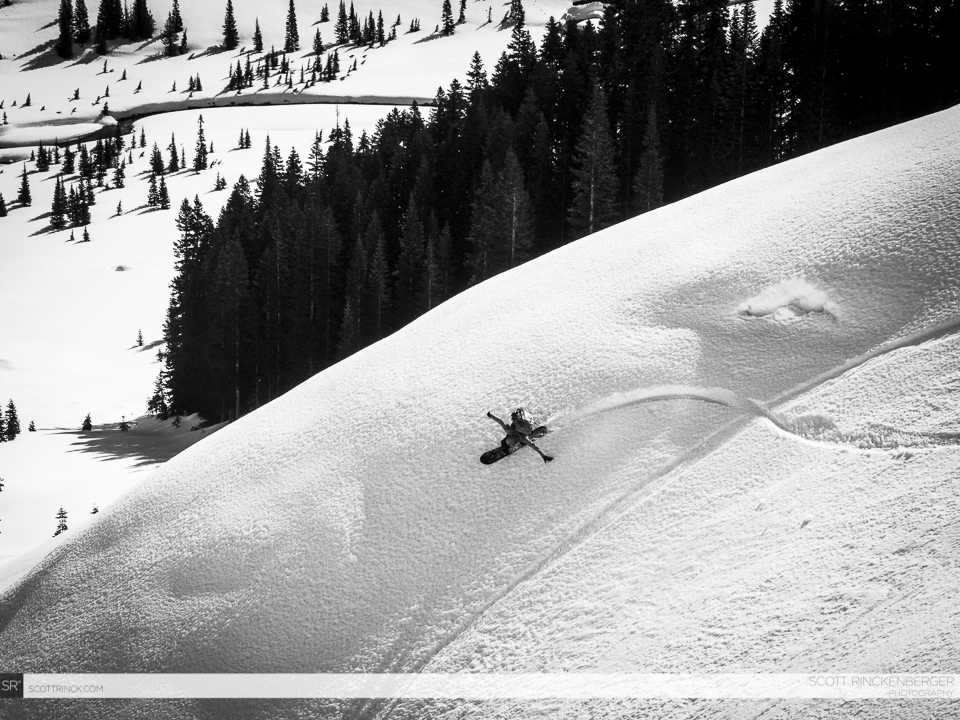
Ski Touring up the Napeequa Valley to Tenpeak Mountain
The north side of Clark Mountain had been a fun and direct line to the shores. It was time to transition and start heading west towards the head of the valley. If the plans were just like the contours on the topographical map we were going to have an easy day.
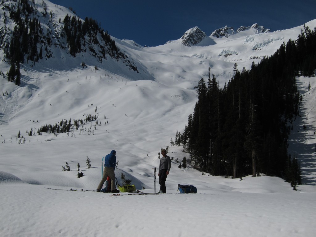
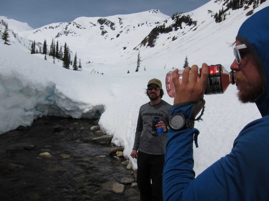
We had a running joke of drinking only the purist of Waters in the Cascade Mountains as we walked along the shores. Since we were in the Napeequa valley we felt it had to have some of the best water in Washington State. There was no roads nor mining spots anywhere around to pollute the area. The source of the water we were drinking was just snow melt, rain and glaciers.
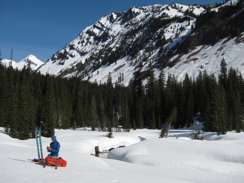
Skinning went smooth as we decided to stay on the north side of the river. This would allow us to get descent views of the terrain within the Dakobed Range. Fortunately most of the valley was flat and slowly ramped up over time making travel fast and efficient.
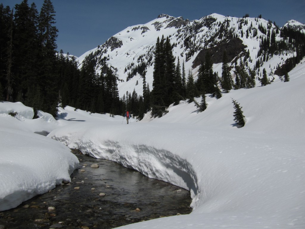
Being next to the river we had an endless supply of water at our disposal. Putting the cap of our nalgene bottles on our pole straps we would be able to dip it in the water. Every 15 minutes it seemed like we were in a new spot and sampling the best water the Cascades had to offer.
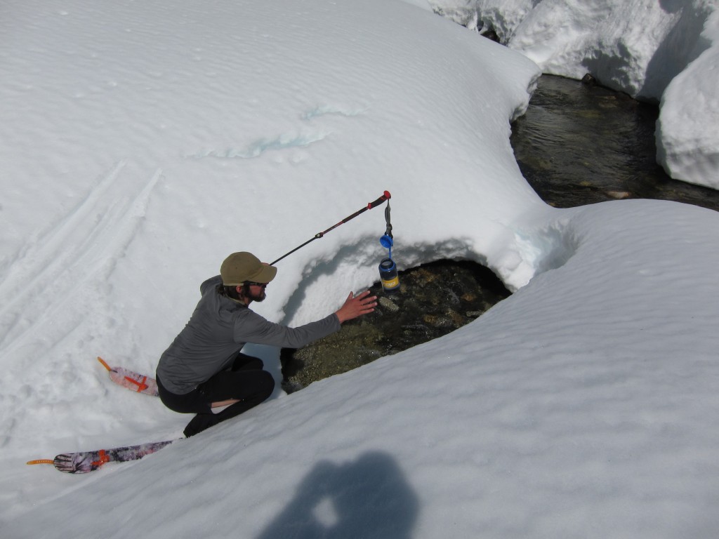
Before long we made it to the last waterhole and decided to take advantage of it. I laughed and talked about drinking water until I puked. They laughed and though it was a joke until I actually puked. From here on out we would have to deal with the slow process of melting snow.
Heading Past the Butterfly Glacier in the Dakobed Mountains
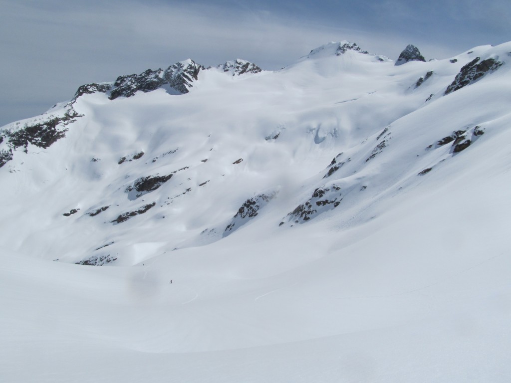
Once at the head of the valley we were happy to set our eyes on the Butterfly glacier. Though it had been easy and straight foreword heading up the river valley there is something about being in the alpine. We knew that camp was less then an hour away as we made our way toward Butterfly Lake.
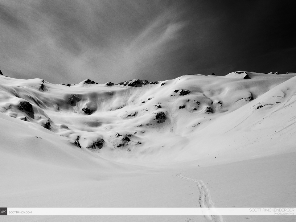
Finally we were on the northeast slopes of Tenpeak Mountain and the terrain had mellowed out again. We would be able to set up the tent anywhere in the area as we searched for a sheltered spot. We had finally made it to our destination for the day.
Once on the shores of Butterfly Lake we set up camp right next to the ridge we wanted to climb. With a few hours before it got dark and it being the heat of the day it was time to get going and get a run off Tenpeak Mountain. As we had planed the ascent route was right outside the doors of our tent and if we wanted to we could ride all the way back.
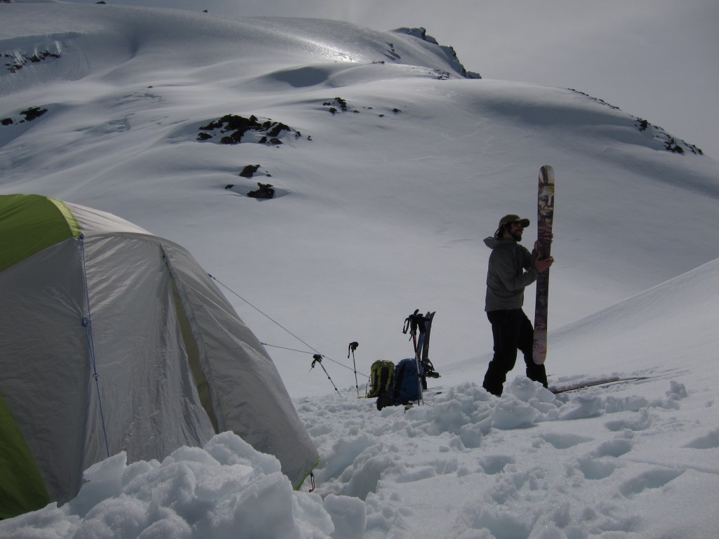
Leaving Camp to Climb Tenpeak Mountain
By now the weather was changing with a sundog starting to surround the sun. We knew it was supposed to rain the following day so we needed to make the most out of our afternoon. Breaking in the skin track there was no wind and good visibility in every direction. We were hoping that the forecast was going to be wrong and that we were just overly excited.
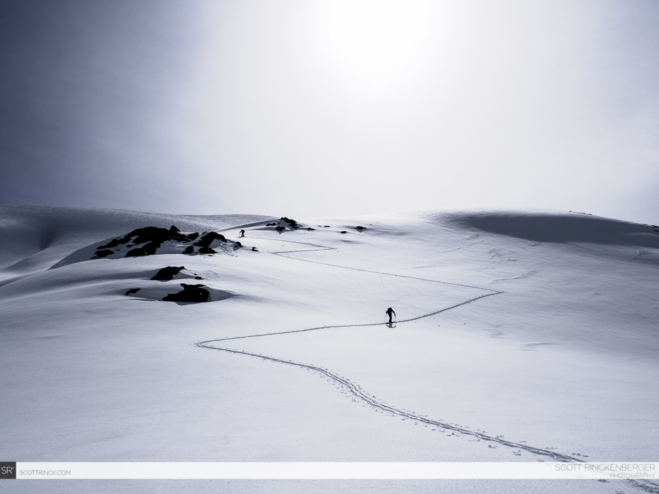
After a few switchbacks on the ridge our view of the Napeequa Valley opened up. In the distance we could see the mountains of the Suiattle Traverse and backside of Trinity. We had covered a lot of ground during the day and we still had a bit of sunlight left before heading back to camp.
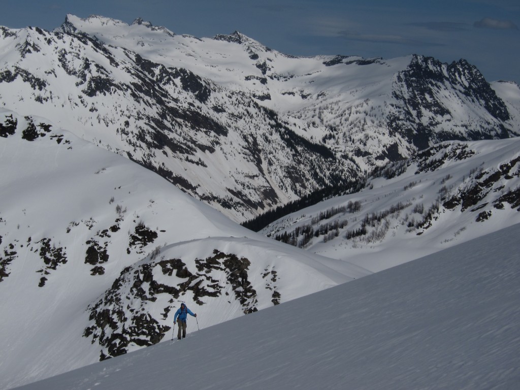
Soon we were on the high ridge and looking among the massive glacial carved peaks of the North Cascades. To the south we could see the White River Valley and our starting point at the end of the valley below. It had been a long and rewarding two days but seeing how long we would have to travel the next day was a bit intimidating.
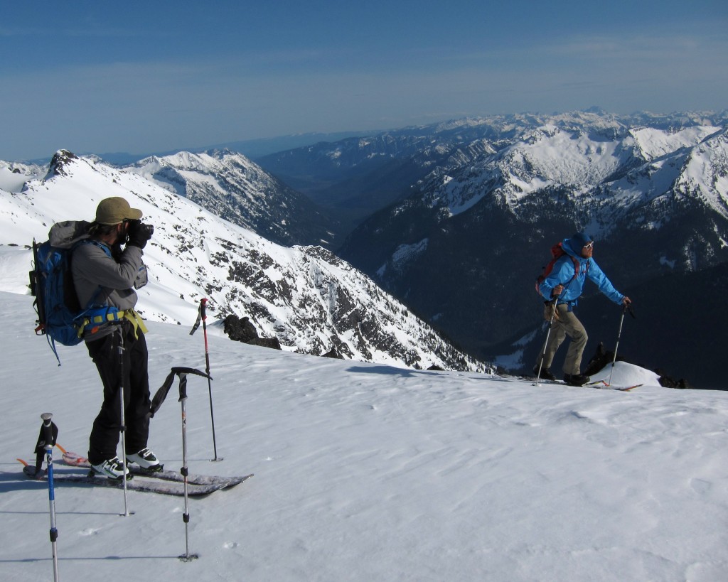
To the northeast was Glacier Peak on fully display and rising above every other peak around. There was a clear view of numerous different routes I had been fortunate to ride over the years. From the Chocolate Glacier Headwall to the Glacier Peak Traverse and the finishing of the American Alps Traverse. It’s always fun and rewarding when looking at a mountain and knowing you had spent some time in the area.
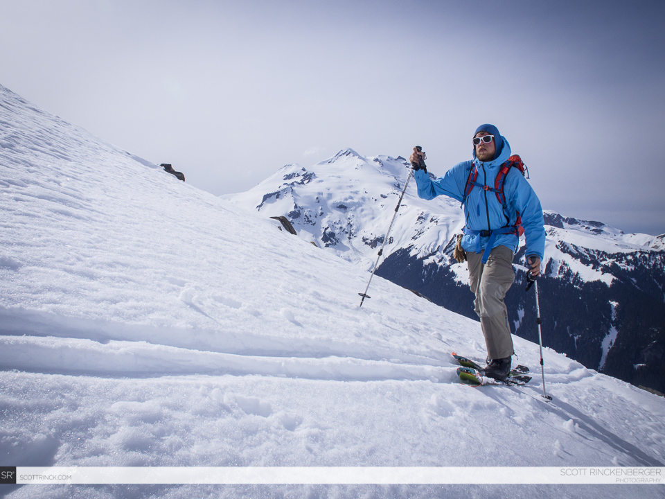
The skin up the NE ridge was a easy but once we arrived to the summit we realized it was the end of the road. Not wanting to down climb around some mangled cliffs we decided this would be our transition point. Below us and to the south was going to be our exit run the following day. Our view was stunning as we switched over for our second run of the day. It quickly became apparent why this place was named Tenpeak Mountain as you could see tower after tower of rock to the west.
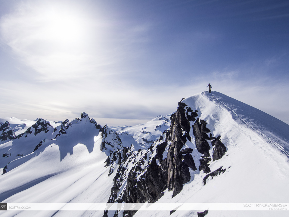
Snowboarding Tenpeak Mountain
From our high point we started riding down the northeast ridge loosely following our skin track. Our intentions were to ride the north face but we needed to find the right spot to drop in. Soon enough we had inches over to the line we were looking for and ready to drop off what seemed like a blind roller.
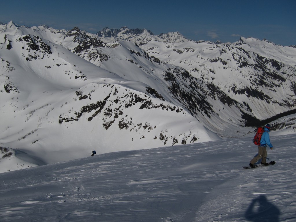
Once on the north headwall the terrain ramped up immediately and we were able to get some great turns. This was the moment we had been waiting for the whole trip and we were happy to find powder conditions in the sun. Below us was just wide open slopes for thousands of feet and it was all perfect fall line.
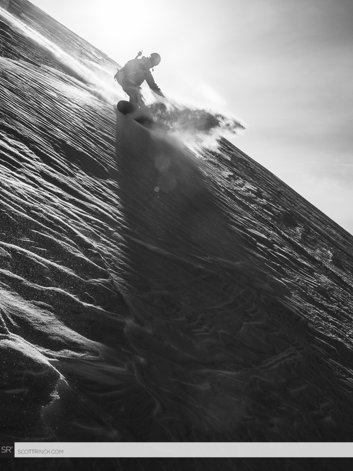
With it being our last run of the day we decided to ride down the north face until the snow felt bad. We still had a lot of time left in the day so we rode around 4,000 feet in total. It was awesome taking turns in such a scenic area that I had dreamed of riding for years. Before long the snow was getting too heavy and it was time to break trail back to camp.
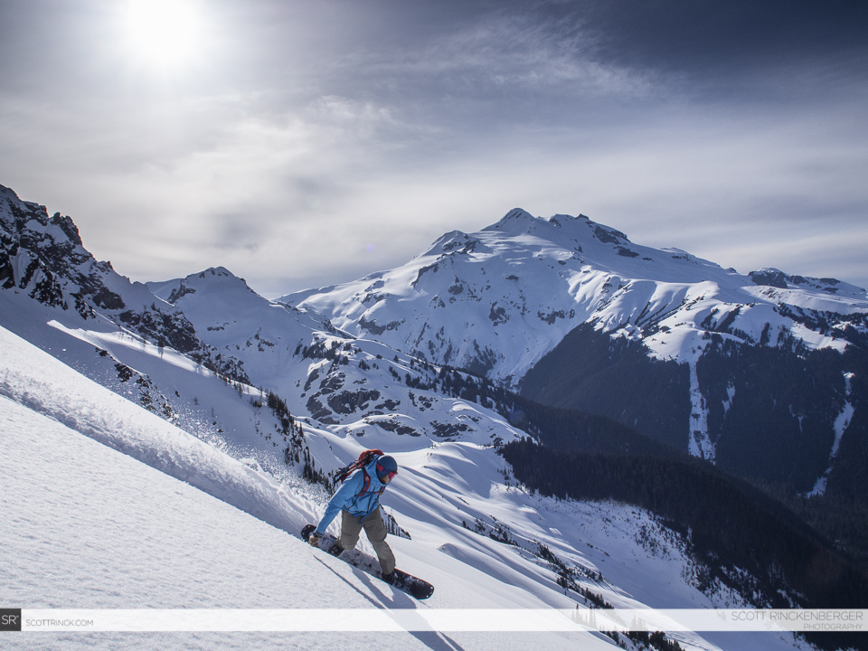
Looking back up we couldn’t help but smile when seeing our tracks. Each one of us had our own personality as we had worked with the terrain above. Breaking trail back to camp we were hoping to have another day of similar weather. We had finally made it into the area and just wanted more time to explore it. Back at camp we ate some food and quickly feel asleep not knowing exactly what to expect the next day.
DAY 3:Tenpeak Mountain to the White River via Thunder Basin
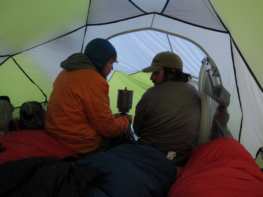
Turns out the forecast was right and the weather had totally deteriorated as we woke up to the tent walls shaking with the wind. Looking outside there was a sea of gray and it looked like it could start raining any minute. Not wanting to be outside for breakfast we cooked inside the tent and got our gear ready. It was going to be a long day and we were not looking forward to any of it.
Outside was a stark contrast from the day before as everything was a world of gray tones. Throwing everything together we packed our bags as fast as we could before getting moving. Knowing we had to climb the north couloir of Tenpeak Mountain we needed to get up there before there was a whiteout.
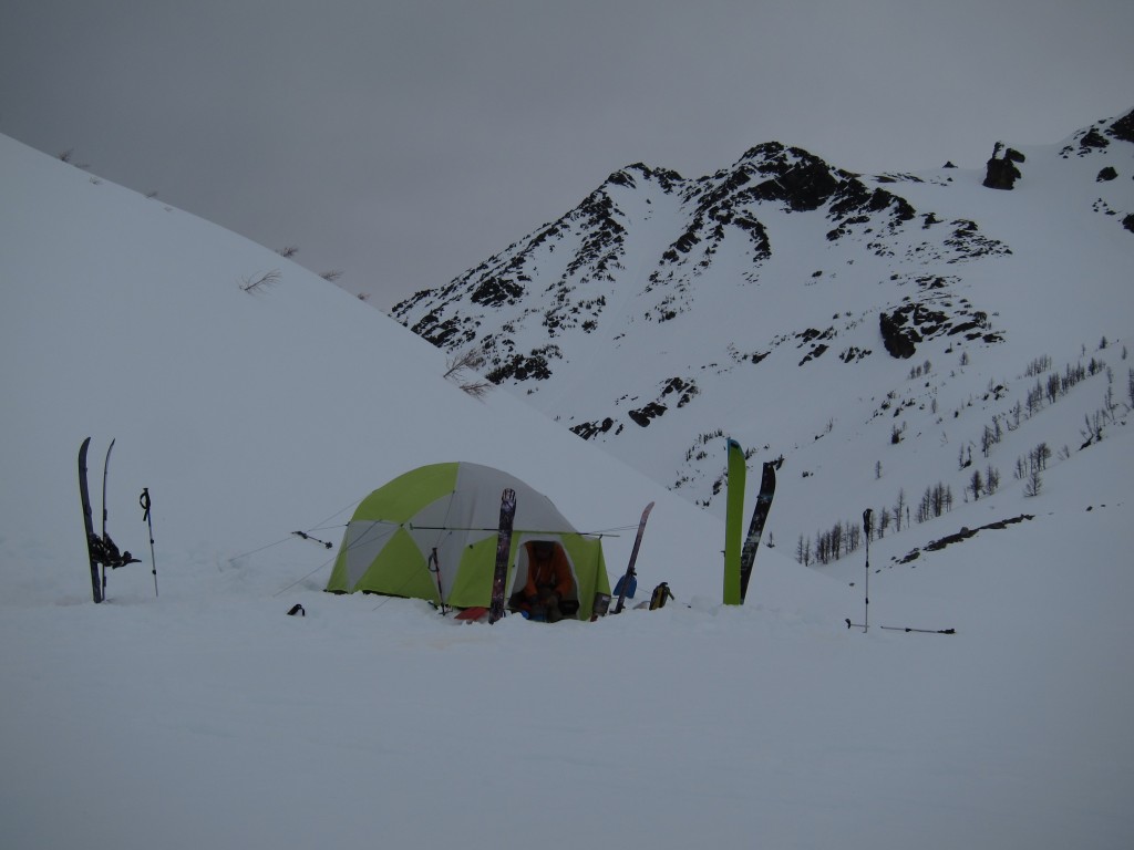
Once everything was packed up and good to go we wrapped around to the north couloir of Tenpeak Mountain. It was a line we had wanted to ski but with the weather the way it was there was no point. Instead of riding it we were putting a boot pack in being happy with how direct the route was.
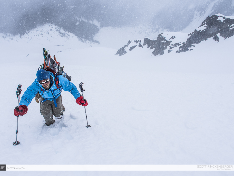
There was a sense of happiness when we arrived at the summit rocks. The wind had been blowing us around for more than an hour and we would finally be riding into Thunder Basin. Once on the col we looked down to the south and we couldn’t see anything. The clouds had dropped low enough and our exit route was a total whiteout.
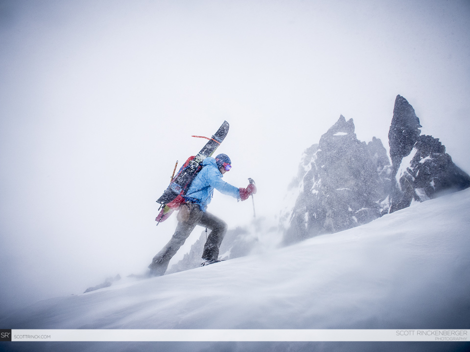
Snowboarding the South Face of Tenpeak Mountain Down Thunder Basin to White River
We rode down into Thunder Basin with nothing really to reference as we went a turn at a time. Though it was sketchy somehow we made our way through the cliff bands semi easily. With a sigh of relief we were finally making our final turns into the flats of the White River Valley. As we lost elevation the snow quickly turned to rain. It had been the perfect time to exit the Dakobed Range.
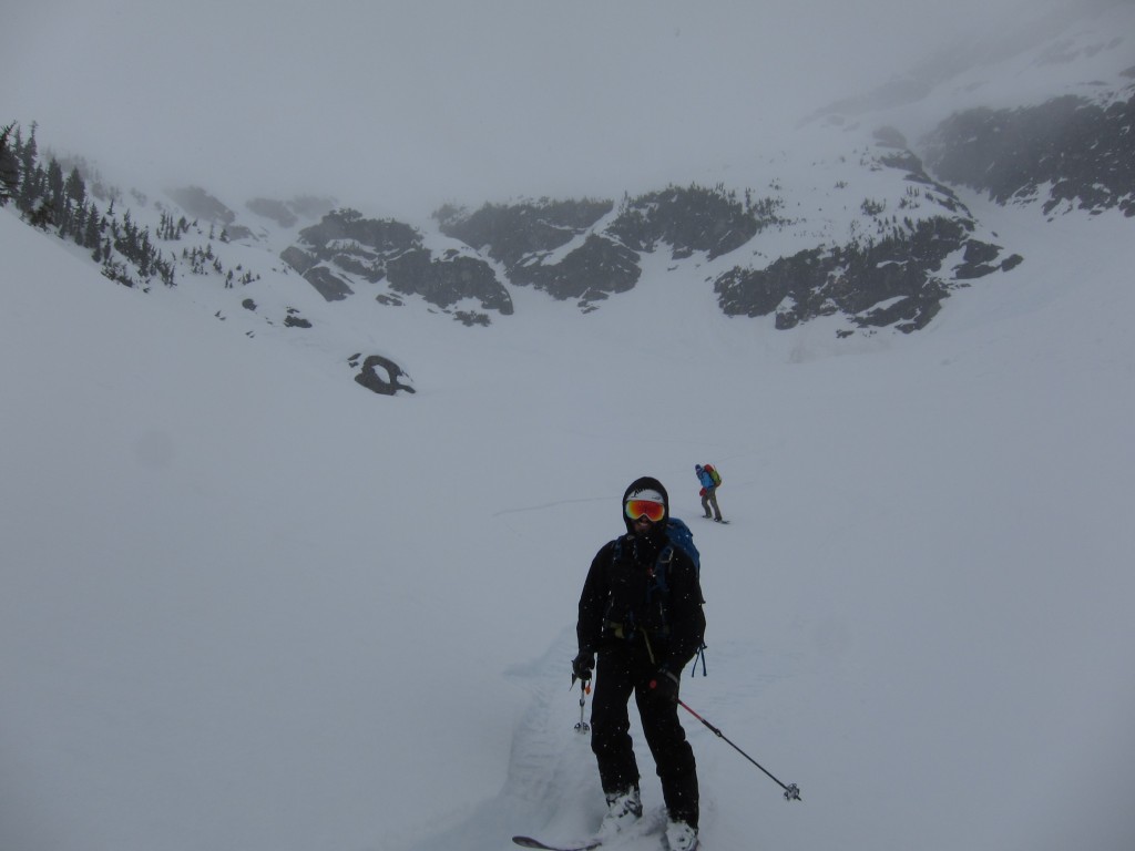
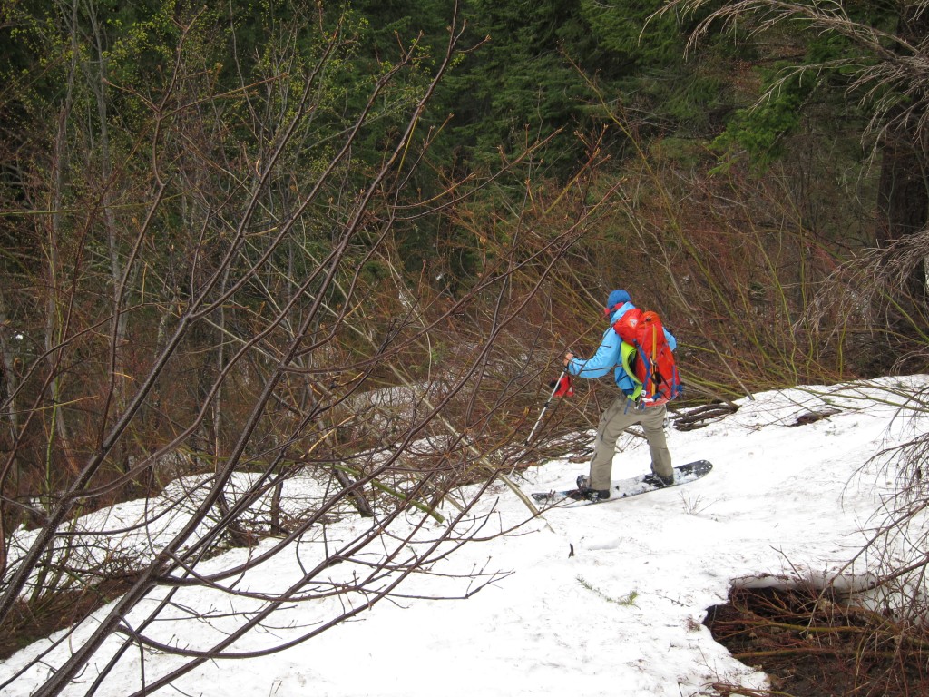
Riding down Thunder Basin we made our way all the way to the snow line of the White River Valley. Heading from patch to patch we were able to detour around most of the slide alder before it was time to admit defeat. We had no idea how the first few miles would be but it was time to find out. It was the time we had dreaded all trip and we needed to push 10 miles of nasty valley southeast to the car.
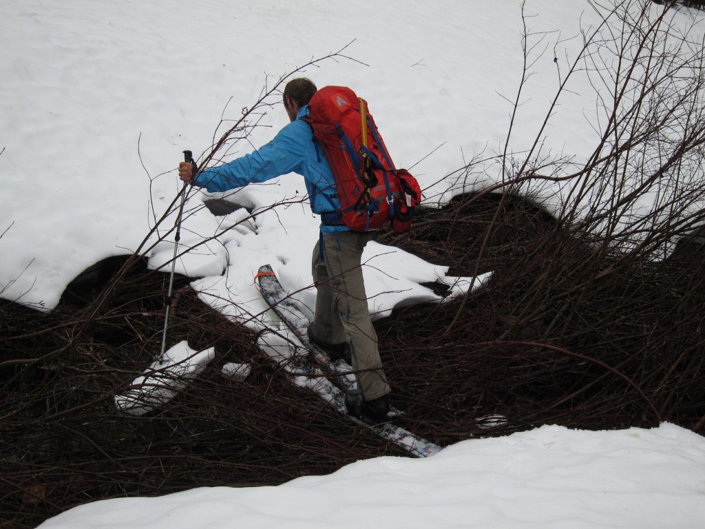
Making our way back there were numerous creeks to cross. After a handful of times searching for bridges we quickly gave up and just went for it. Knowing each step was getting us closer to the car and that our boots were already soaked there was no reason to attempt to stay out of the water.
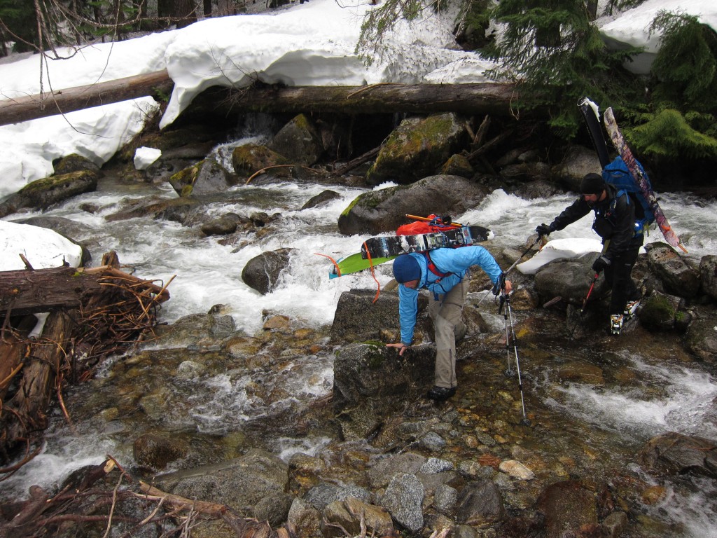
It was a long and wet day making our way down the White River but before long we were skinning across the final creeks. The route was as evil as I had thought but it was worth the pain for riding Tenpeak Mountain the day before.
Back at the Car and Out of the Dakobed Range
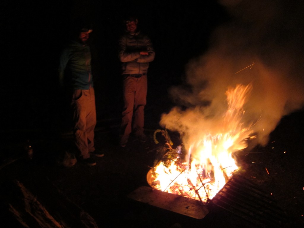
We made our way back to Scott’s truck just as darkness set in. Throwing our gear inside we drove down the rode to set up camp at the first available site. Enjoying the heat of a warm fire and dry clothing we chatted about our trip over the previous 2 nights. Though it had been fun checking out the area we were happy to be out of the bad weather.
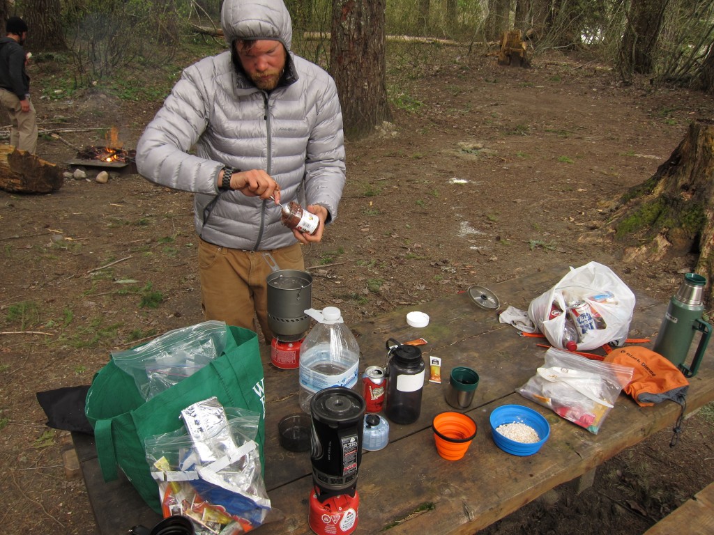
The next morning we packed up our gear and after breakfast it was time to leave the White River Valley. Huge thanks to both Scott Rinckenberger and Ben Starkey for a great trip in the North Cascades.
Miles: 31
Vert: 13,500 gain
Days: 3
Thank you for reading this trip on Tenpeak Mountain and the Dakobeds. If you want to see more ski tours within the Stevens Pass Backcountry check out this link.