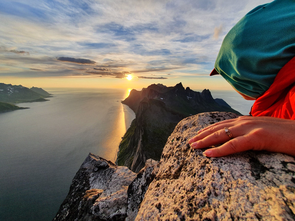
Once returning to the car from our trip in the Lyngen Alps it was time to head to Southwest. Our plan was to car camp and do some hiking around Senja. The island is the 2nd largest in Norway and filled with steep fjords and an abundant amount of mountains to explore. My goal was to see what the terrain had to offer and potentially get the layout before returning mid winter.
4 hours after leaving Lyngseidet we were driving the small roads of Senja Island. You could tell the tourist had swarmed upon the area as the roads were crowded with camper vans and bikers. We decided to drive to the Hamn area in hopes of finding an uncrowded spot to camp at. We were fortunate to find a spot on the sea with relatively few people there before calling it a night.
The next morning we woke up and came up with the plan to hike Sukkertoppen. We were already at the trailhead so it was an obvious choice. From the moment we got on the trail we knew we were at someplace special. The moment you turned around you were staring into the sea. The higher we climbed the better the views got.
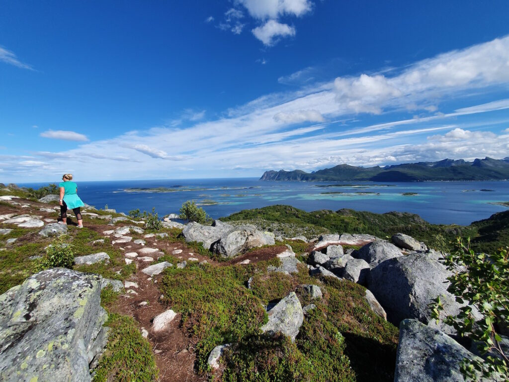
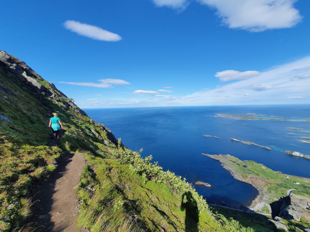
What started as a mellow trail quickly steepened. Soon we were on the edge of a steep face gaining elevation with every step.
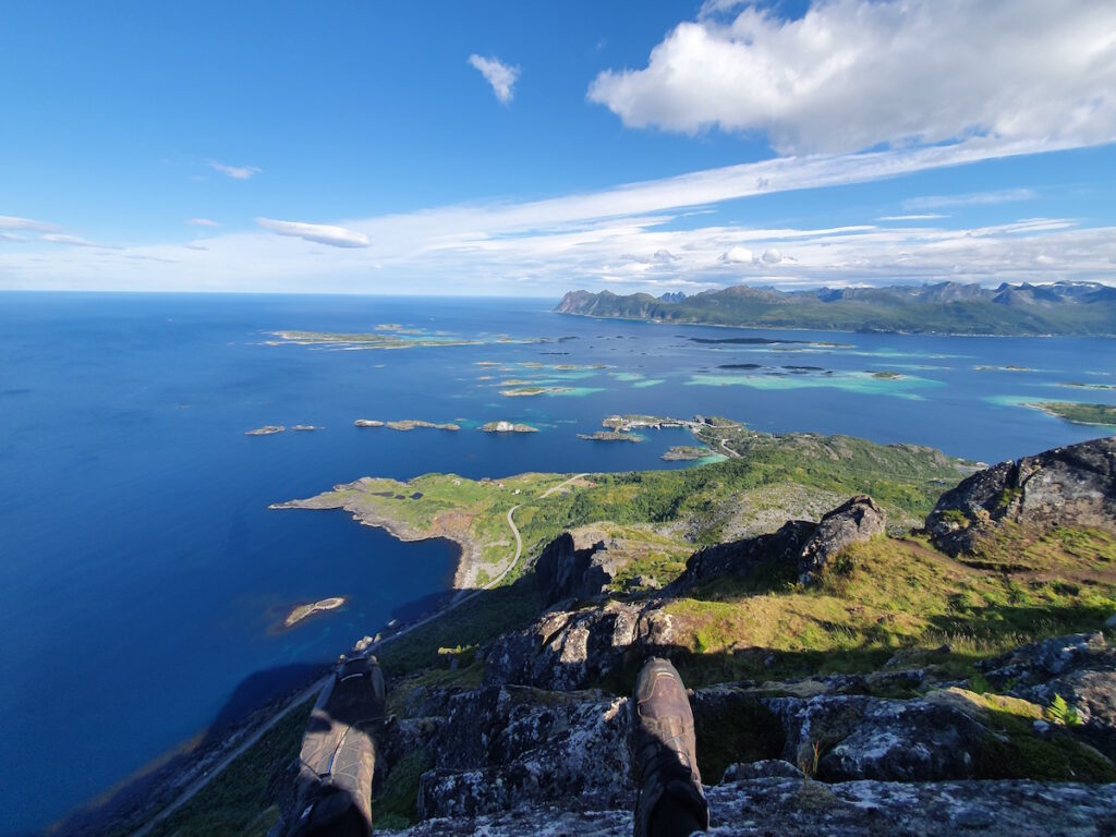
Once on the top of Sukkertoppen (which means Sugar top) we were looking at Northern Senja. We had left for the trail early in the morning and had the summit to ourselves. Below we could see people climbing but for those 30 minutes everything was quiet.
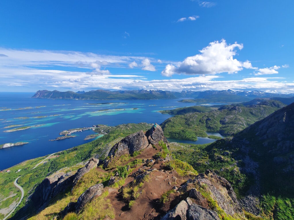
It was a great and easy introduction to hiking around Senja. Within 3 hours we had summited and returned to the car. In the picture below you can see the spot we camped at on the right side of the left peninsula.
Hiking on Sjursviktindan
Jenni’s sister Jaana had come to Senja with Juuka for her holiday basing out of Stonglandseidet. They had rented a hotel room and it was her birthday so we migrated south. Once the group was together we made a plan to hike Sjursviktindan. The reason we chose the trail was because the day was hot and being on the sea it would give a consistent wind.
The trail started from the water as we made our way up. As soon as we made our way to the upper slopes the views started coming out.
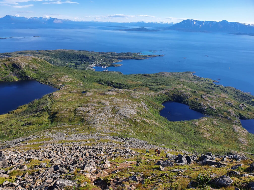
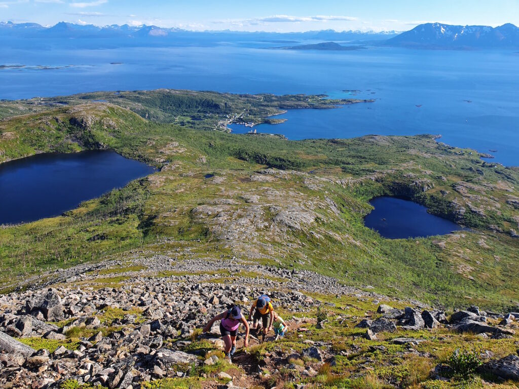
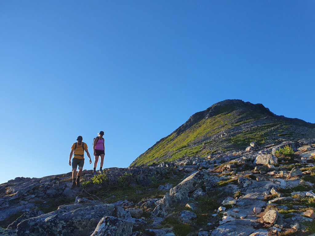
Like all hikes from the base we could see a steep headwall. I knew not to think it was the summit and it wasn’t. Once reaching the top of the first steep we started climbing the last steep to the true summit.
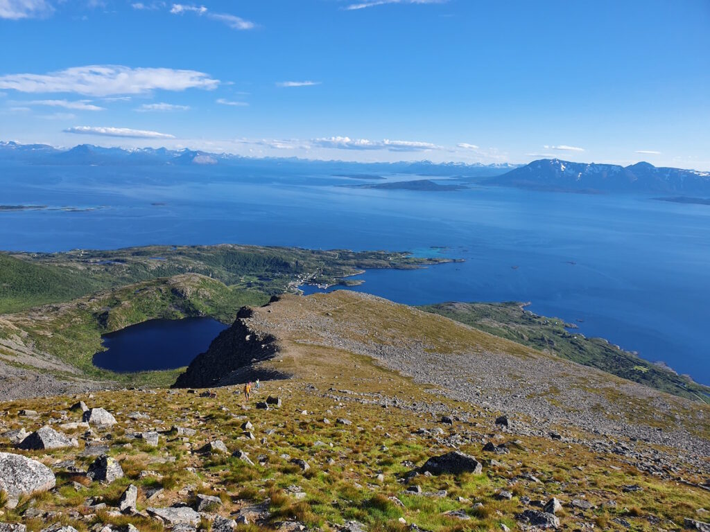
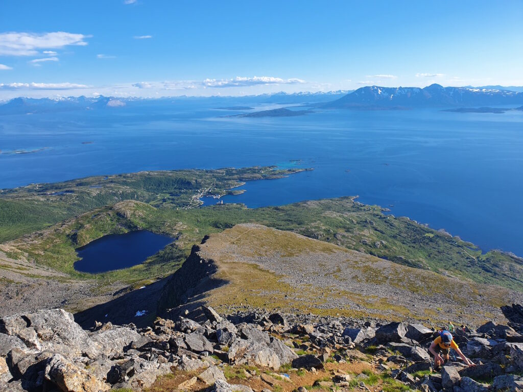
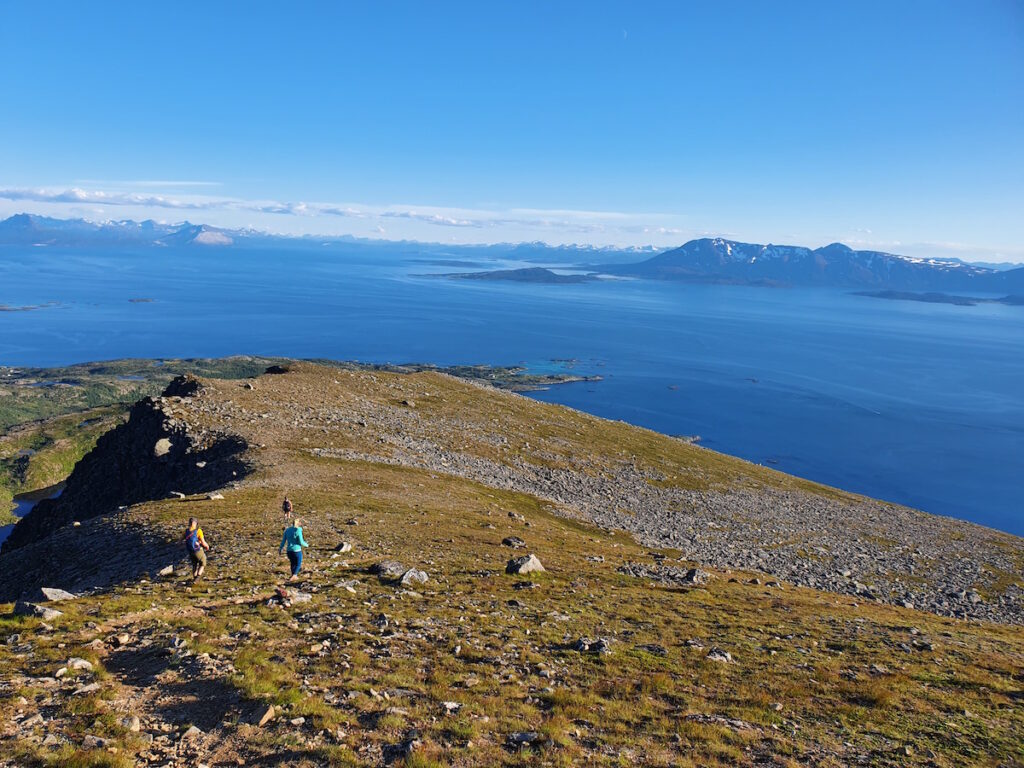
Once on the true summit the views came in from every direction. Behind us was a vertical wall and in front was the Lofoten Islands in the distance.
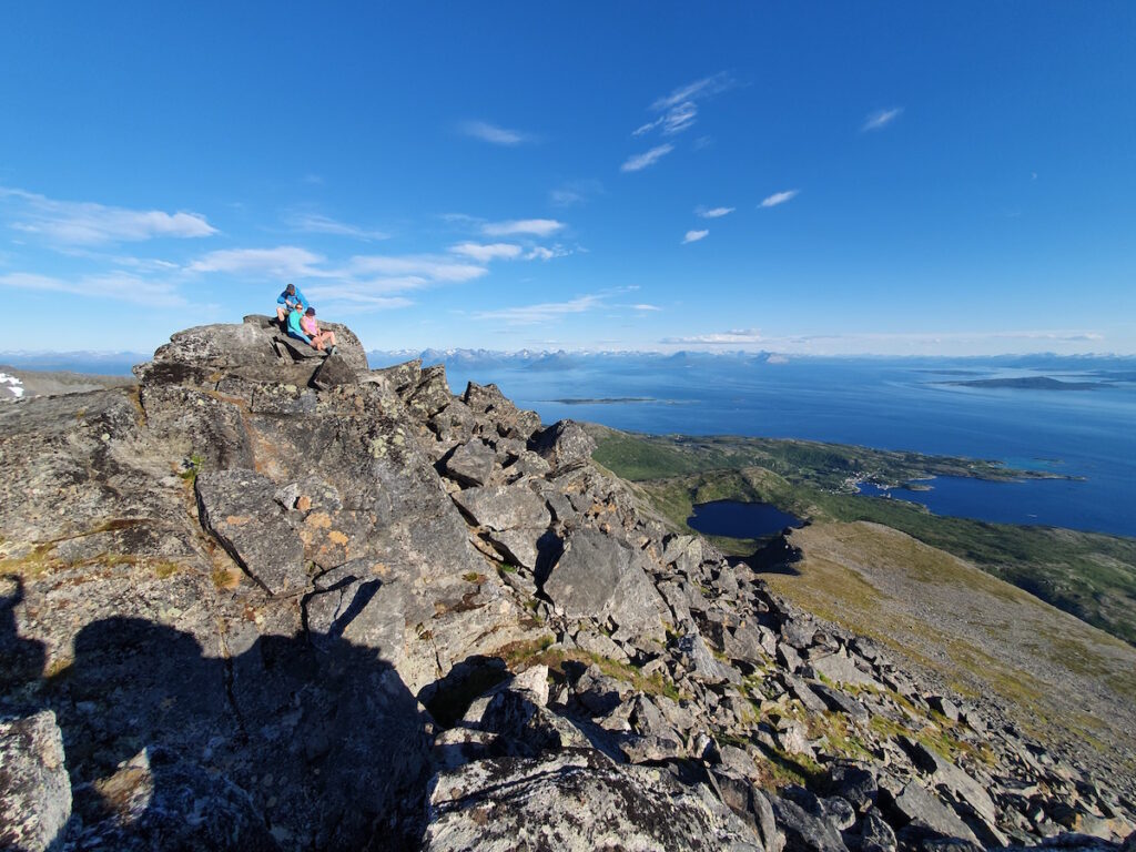
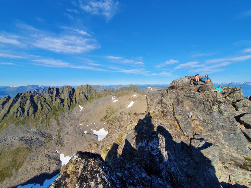
There were multiple different sub summits so we made our way the different peaks. Each one gave a different vantage point of and ideas for the hiking in Senja.
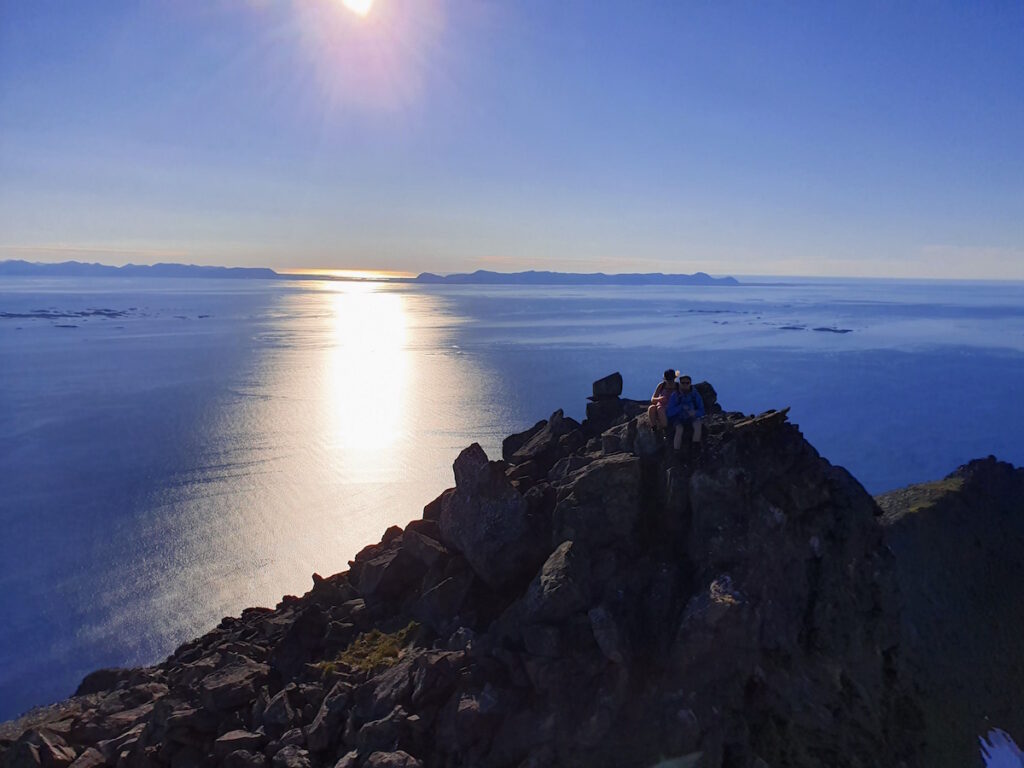
Heading down we were walking towards the sea and realizing the beauty of the area. As always I was focusing on the climbs more than the views. It was on the downhill that we really got to appreciate it.
Since it was her birthday we stayed in the hotel with them and in base camp style cooked our food in the room. That night we came up with plans for the next day before heading to bed.
Hiking in Anderdalen National Park
Since we had two cars I came up with a plan for a hike through from Kaperskartunnelen to Gjeska Fjiord. We drove down to Gjeska Fiord and stashed our car before heading back to Kaperskartunnelen and started climbing to the high point.
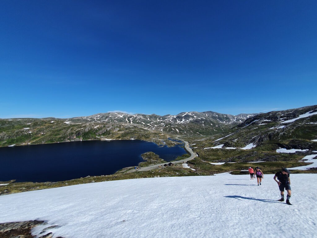
Once up there I realized the trail would be snow covered. I decided if we stayed on the high ridge it would bring us to the trail as the actual trail had a semi steep sidehill.
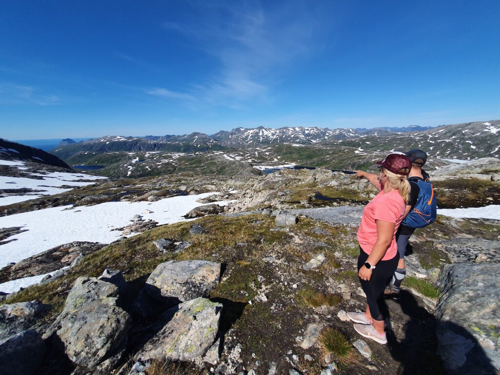
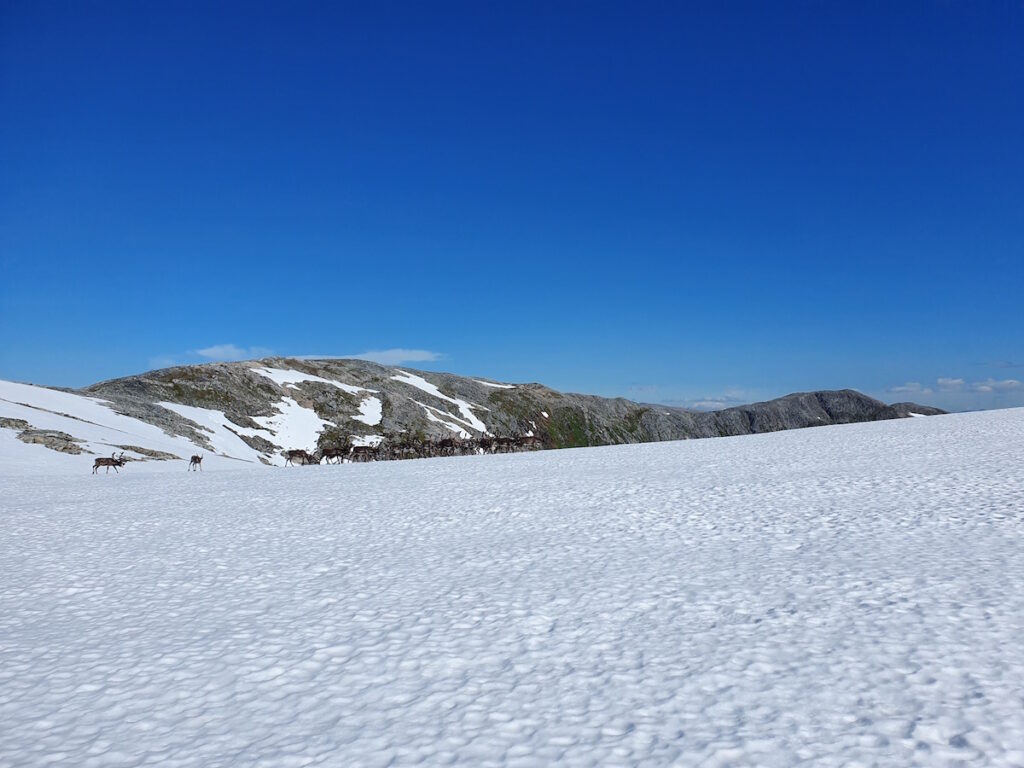
Making our way down from the summit we passed a huge heard of Reindeer. I wondered if they enjoyed the view as much as we did.
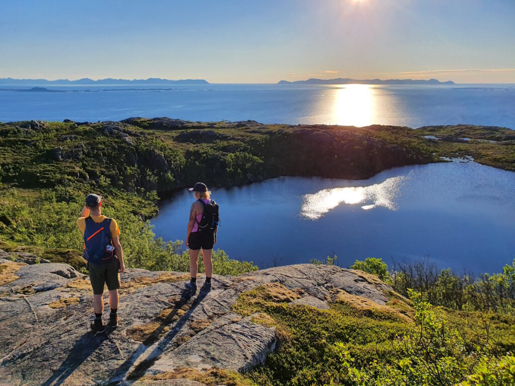
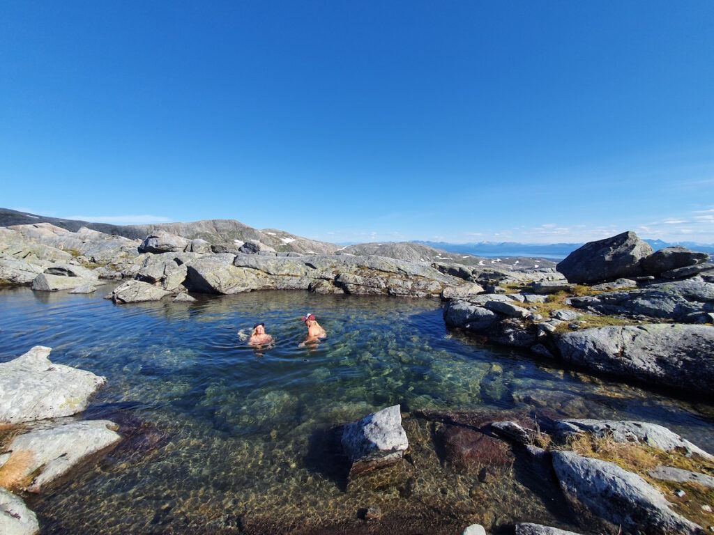
Loosing elevation we started running into small tarns filled with water. I had planned this so we brought swimming gear.
Once done with the swim I decided to ask my wife if she had brought the keys for the car. Long story short she had left them in the other car. We made the decision that I would go back while they finished the trail as we were halfway.
They had taken a bit longer than expected having some small issues with the trail. Once everyone was back together Jaana and Juuka went back to there hotel room as we drove North. It was late in the night but we were happy because the roads were empty and it was a beautiful sunset.
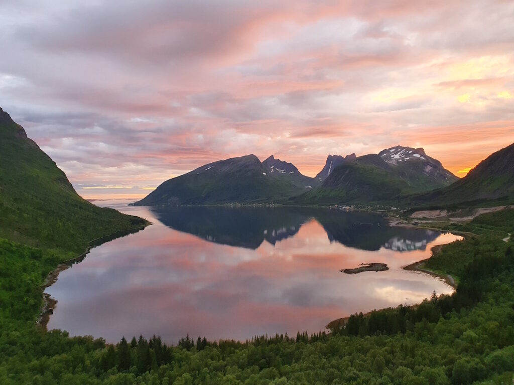
We arrived at Ersfjord beach late at night and the place was crowded. It’s a beautiful beach surround by dramatic mountains so we decided to set up our tent and call it good for the night.
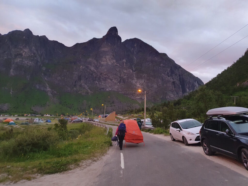
That night we sat in our camping chairs and enjoyed a dramatic sunset.
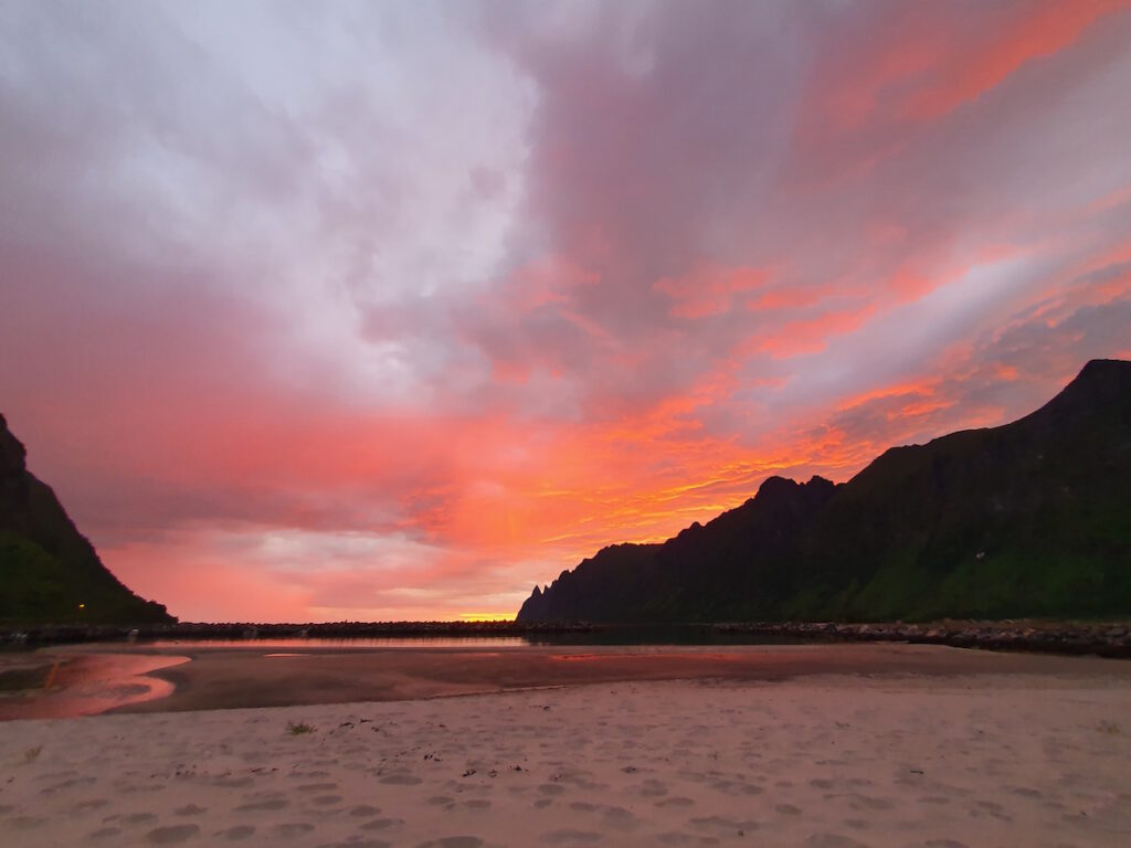
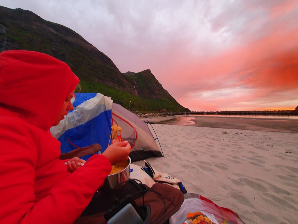
We cooked some noodles and enjoyed the light show. Once done with the food it started raining so it was time to go to bed.
Hiking Grytetippen, Keipen and Barden
The next morning my wife decided she wanted to rest during the day. I came up with the plan to climb Grytetippen, Keipen and Barden in a single push. They all started from the same trailhead and I had 6 hours to spare.
Once heading to the first low col I took a left while most took a right. I was running at a good pace so I had enough time. Occasionally I would look back and take in the view.
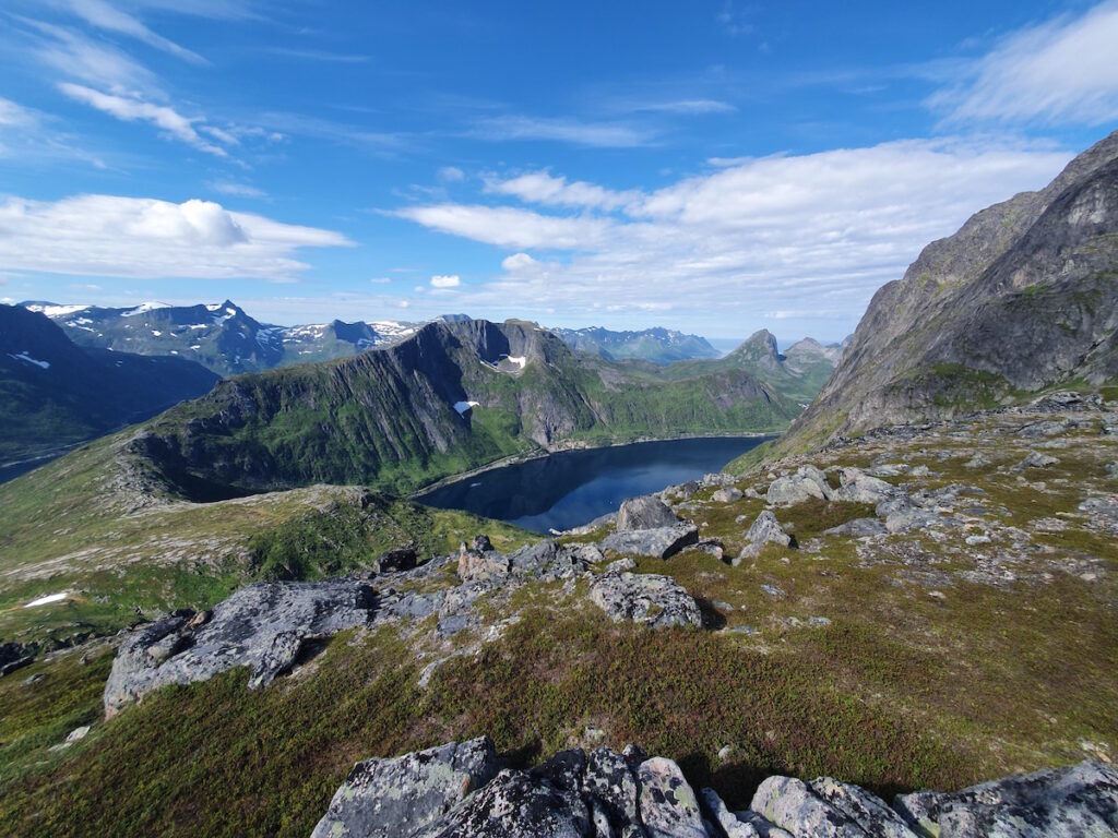
Once hitting the first small sub summit I finally had views of Grytetippen and Keipen. In the picture below you can see the summit of Keipen.
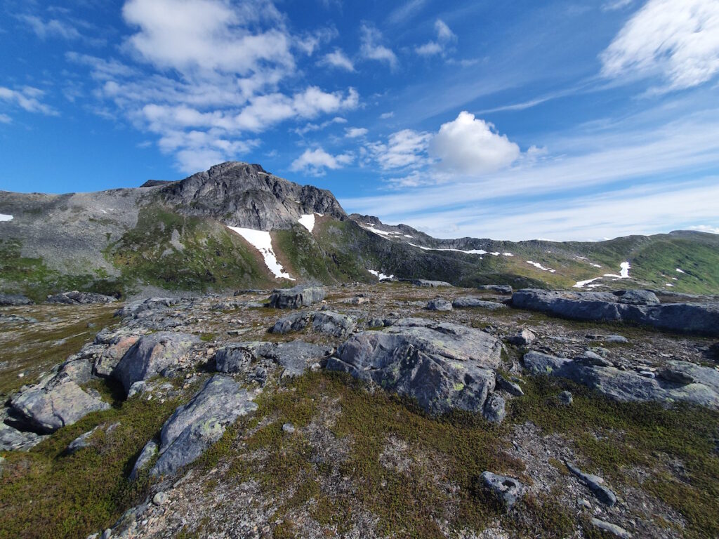
What I thought was the trail was actually a steep climbers trail. I was using both hands pushing up to the summit of Grytetippen. I had the summit to myself and took in the views below and in all directions.
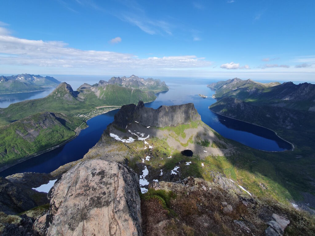
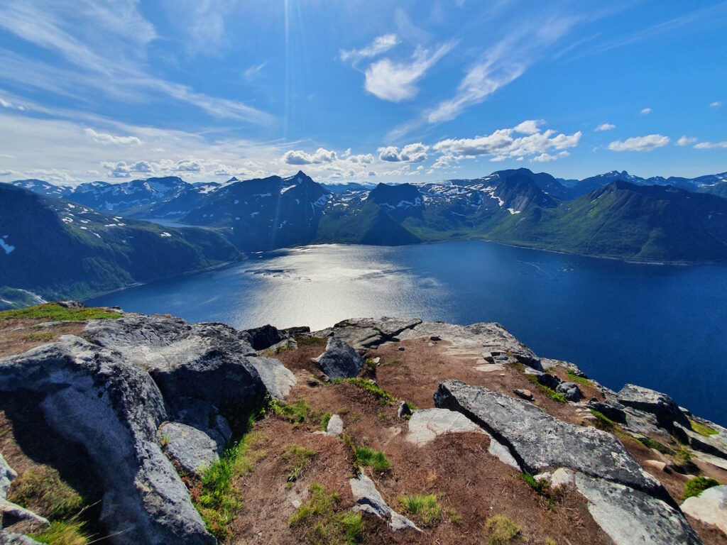
It was a dramatic spot as I could really see some amazing hiking around Senja Island. To the right in the photo you can see Segala, Senjas most popular mountain and what we would climb that night.
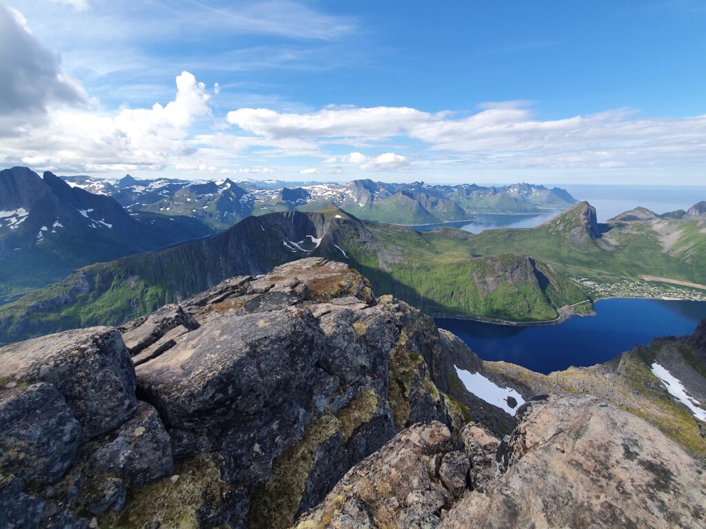
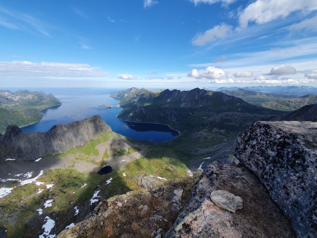
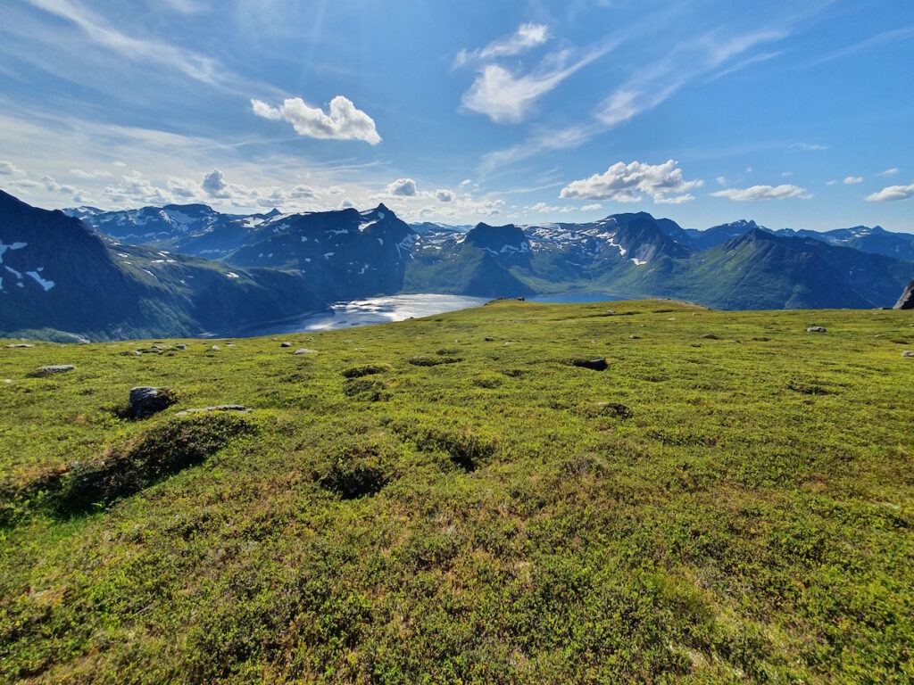
Looking South you could see into the core of the Island. In the photo below you can see the col I split off from and the ridge that takes you up Barden.
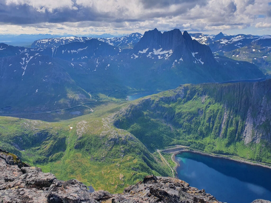
Clouds were coming in and I started worrying about the weather. Another group joined me on the summit confirming I hadn’t taken the main trail. We said our hellos before I left for the high col separating Grytetippen and Keipen.
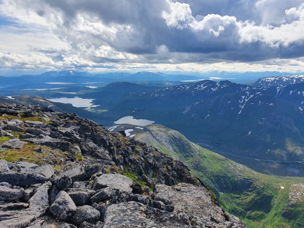
30 minutes later I was standing alone on the summit of Keipen.
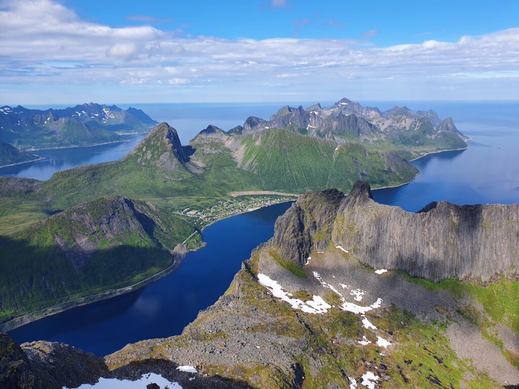
While being a similar summit it had a different fill to it.
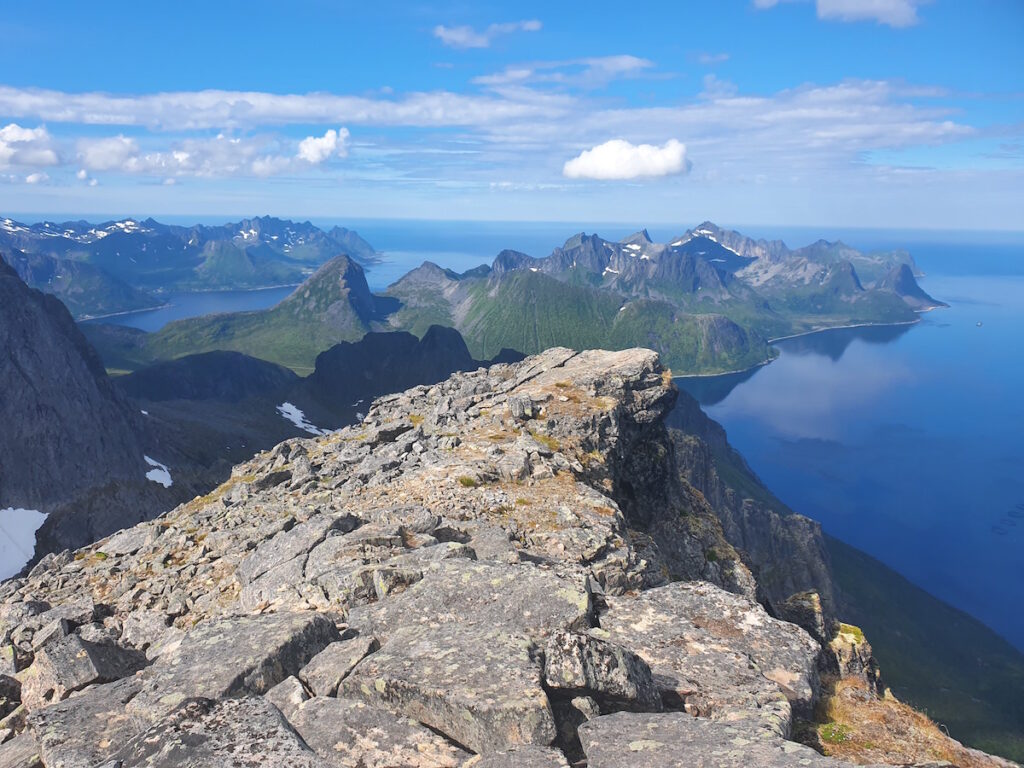
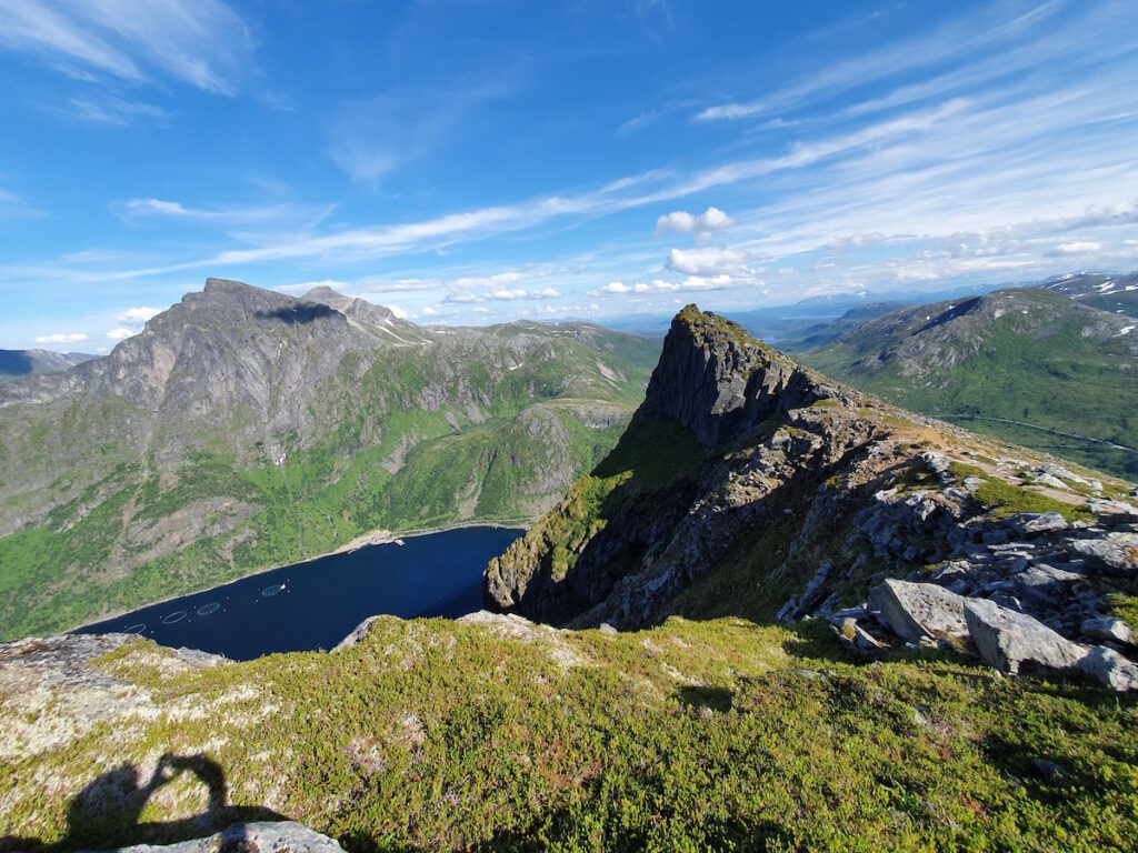
The peak was 50 meters higher than Grytetippen and from the summit I could see most of Senja. In the photo below you can see the summit I came from.
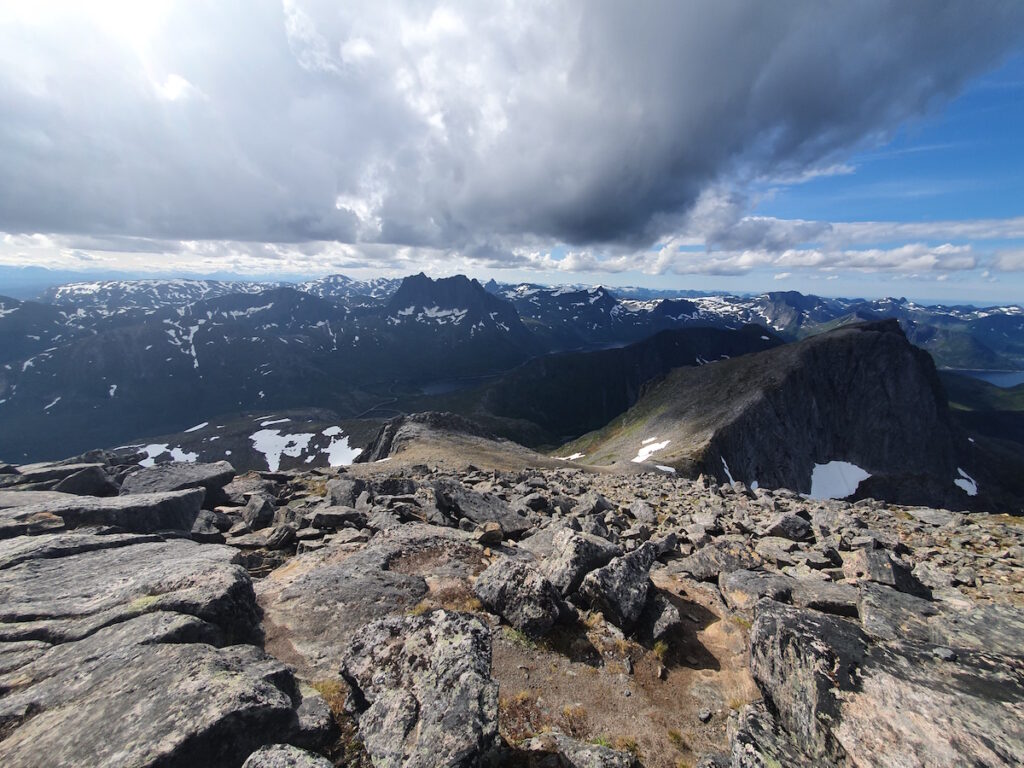
Making my way down the trail I had a good look at the route. I had taken straight up the mountain on the left side. This time around I would go to the low col. I found this route to be easier but much less direct.
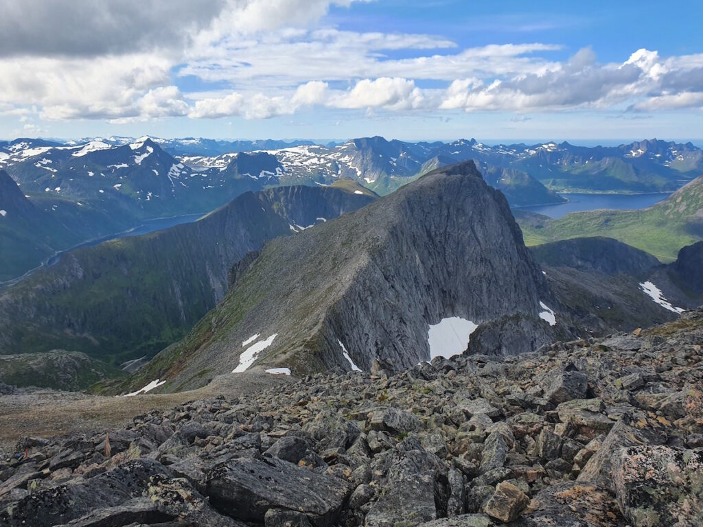
My time was going good making my way to the low starting col. I still had 3 hours to spare so I decided to follow the ridge to the summit of Barden.
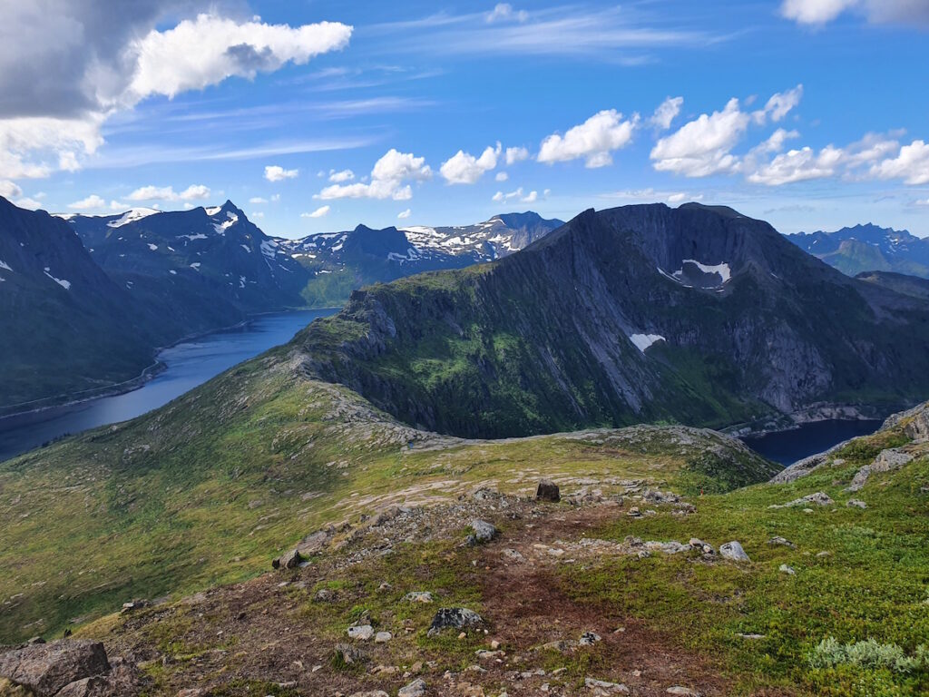
Once on the summit I had a straight forward view of Segla in the distance. The mountains were a backbone sticking out of the sea.
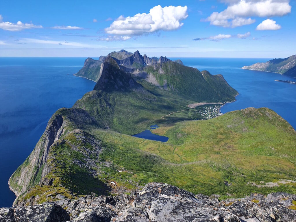
I sat on the summit for an hour chatting with a group from Poland. They had quite the travel to get to Norway and we chatted politics and all that fun stuff before I started moving back towards the car.
I made it to the carpark 15 minutes before my wife arrived. Once together we drove back to —— where Jaana and Juuka were waiting. We had come up with hiking Segala at night to avoid the crowds.
Hiking Segala
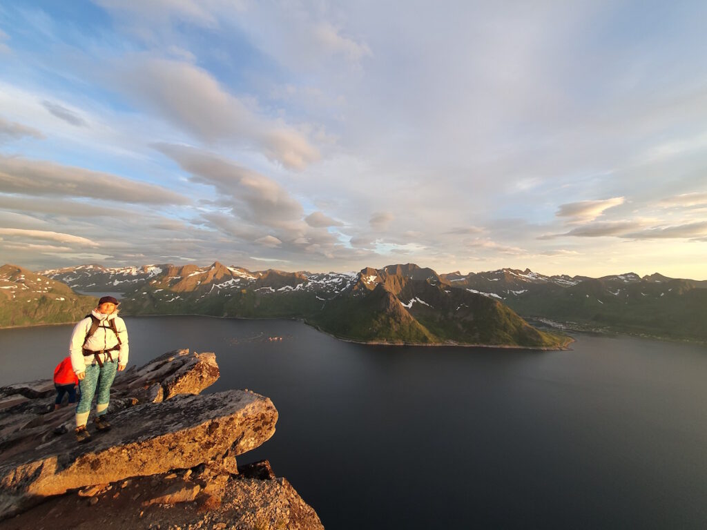
The plan worked as we hiked a quiet trail to the summit of Segala. The trail was straight foreward as we made our way up to the top. Once there we took in the views and the dramatic drop to the sea below.
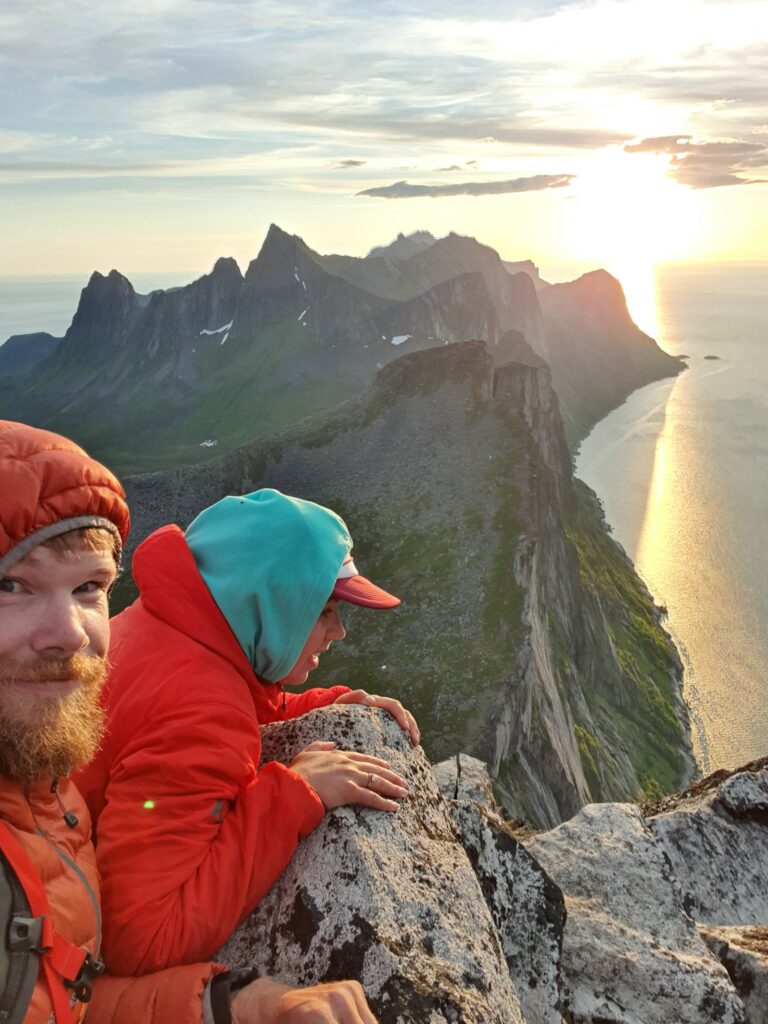
For the next hour we enjoyed the views in all directions. It was a bit windy but we found shelter behind rocks and enjoyed watching the (almost) setting sun.
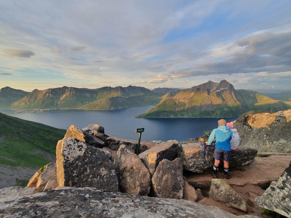
It would be our last nite hiking around Senja Island. We had a good feel and had a blast hiking around Senja. It would be a long drive back to Finland so we decided to drive out to Halti and the Norway Finland border.
Hiking to the Norwegian Summit of Halti
That night we had the worst mosquitoes I’ve ever experienced. Just sitting on my camping chair I had 15 mosquitoes on my hand alone. Juuka had the great idea of starting a fire and that did the trick. We were saved by smoke before heading to our tents for the night.
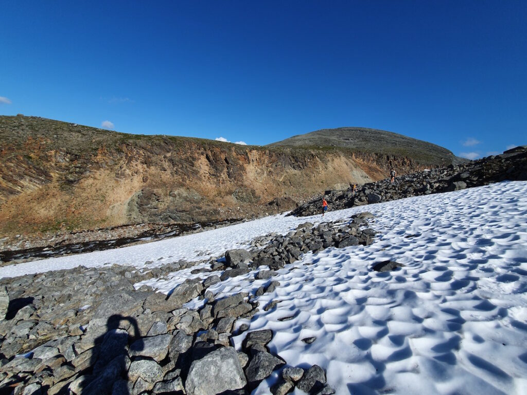
The next morning we made our way up Halti jumping from boulder to boulder. It was rocks the whole way making travel annoying and slow.
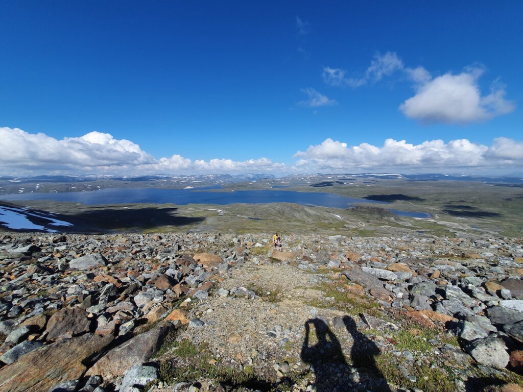
After sitting on the summit we made our way back down. Knowing how bad it was I decided to take a different route following the drainage. It would add a few kilometers but it wouldn’t have endless boulder.
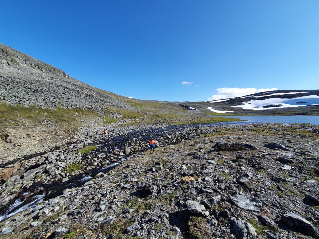
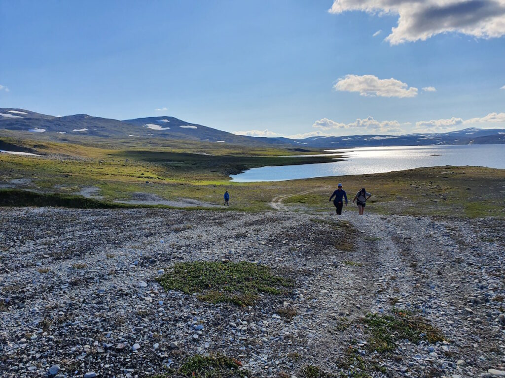
The route went clean as we made our way down. Other than a few snow patches and a carved out gully it was both easy and scenic.
Arriving at Guolasjärvi we walked the additional 3 kilometers back to our car. The detour was a huge bonus and the highlight of the day.
In all it was a great trip and it was amazing exploring the hiking trails around Senja. The island offers easy access and stunningly beautiful trails. While it was crowded I can understand why. I look forward to returning sometime once the borders open again. Northern Norway is such a stunning place and every trip there I enjoy experiencing new adventures.
Thank you for reading and check out other hiking trips here

