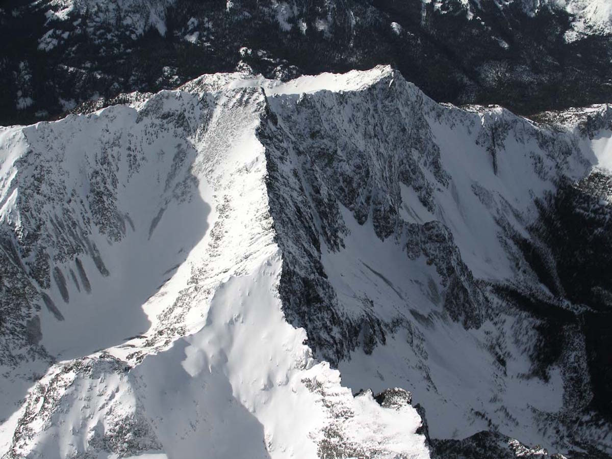
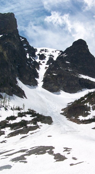
Robinson Mountain in the Okanogan Range is rugged but beautiful backcountry ski. While only five hours away from Seattle this area provides massive rugged mountain. The area is sitting in some of the most isolated wilderness within Washington. With a topographical map and an old climbers trail I was nervous. I was running solo into an area I knew nothing about. The moment I started hiking I was intimidated by the massive relief of the mountains. I would have to hike over 20 miles and 6000 feet to tag the second highest peak in the Pasayten Wilderness.
Climbing in Pasayten Wilderness
The first 6 miles went fast on a maintained trail following Robinson Creek then following an old climbing trail up Beauty Creek before the snow halted the quick progress. I decided to push on creating my own path through the old growth forest, climbing over dead trees and dense forests along the way. It had taken 9 miles before reaching Robinson Mountain’s east face, covered with avalanche paths along the way. I had no idea what line I intended to ride until arriving at a narrow steep couloir on the east face of Robinson Mountain.
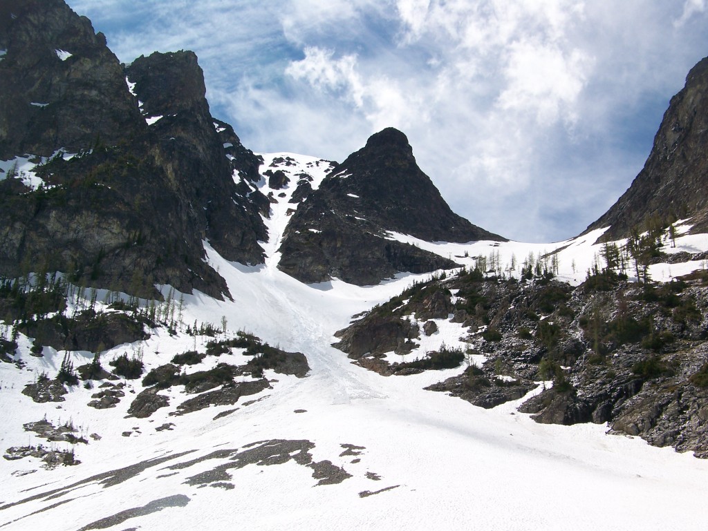
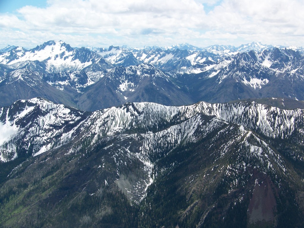
With an objective in sight I pulled out both of my ice axes and started climbing into a mellow bowl that would allow me access into the couloir’s 3/4 the way up and above the crux. Carefully kick stepping up the steep ridge provided tricky kick stepping up the mid 40 degree face. The climb went smoothly and before long I was looking west at endless terrain and almost the whole expanse of the North Cascades all the way to Mt Baker. This season I had seen so many different areas and gained so much respect for these dense, jagged and remote mountains. Starring the Central North Cascades from Robinson Mountain was rewarding seeing peaks I had climbed from a whole new perspective.
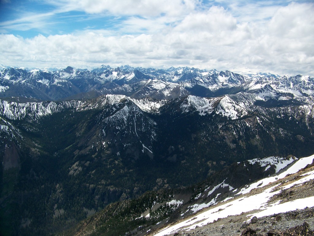
To the south I was stoked to see the North facing slopes of the Eastern Cascades still thick with snowpack. Here I was standing among the summit ridge look back at my objective 48 hours earlier the north face of Abernathy sat less then 20 miles away.
Snowboarding down Robinson Mountain
Since I had scene the line from the bottom I was aware that the line was continuous. Before long I was standing on top of the steep line still lit by the afternoon sun. A quick ski cut on the main headwall provided a massive wet slide. Below my feet it ran the entirety of the 2000 foot face and lasted almost 3 minutes. The slopes were steep but the snow was soft as I turned down the chute with ice axe in hand. My blood pumping as I rode into the crux. The choke was tight and the slopes were narrow as I rode the huge walls to avoid a huge runnel. Before long I was riding into the valley below.
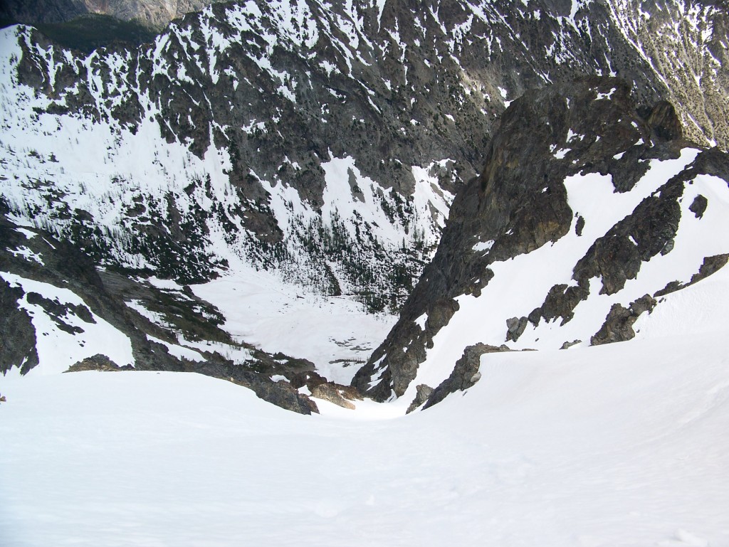
I was stoked to pull off such an aesthetic line on a mountain I had known so little about. If you ever have a chance to make it out this way Robinson Mountain will not disappoint.

Thank you for reading this trip on Mount Robinson. If you want to see more ski tours within the the Highway 20 corridor check out this link.