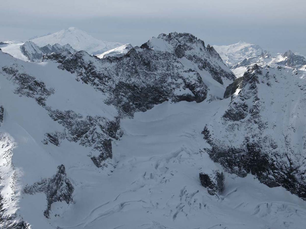
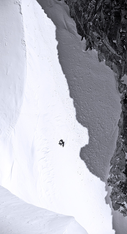
Mount Logan in the North Cascades was the final peak I needed to snowboard to complete the 9000 foot peaks in Washington state. Jason Hummel and I came up with a plan to camp at the base of it and climb and ride Mount Logan via the Douglas Glacier. Here is the trip report below.
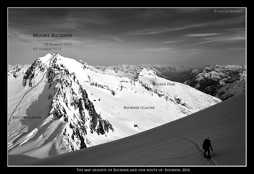
It all started 3 years ago. A random invite landed me right into the heart of the North Cascades heading up Cascade River road. The previous year my focus had been on riding volcanoes and I was looking for a taste of something different so I jumped at the chance to go ride the North Face of Buckner Mountain. What the peaks lacked in elevation they made up for in personality. Over the years I was fortunate to travel to numerous deep valleys in the North Cascades and each one had a different feel. Logan was the last in a project that slowly came together in mid-June 2012.
Leaving Highway 20 for Easy Pass
This was the second attempt at heading into Mount Logan via Easy Pass. The time before Scott Mcallister and I got thrashed by thick subalpine vegetation and had to turn back soaked and defeated. Jason and I decided to go in the late spring when the valleys were still full with a winter snowpack and Highway 20 was open. While the forest skinning wasn’t pretty, it worked.
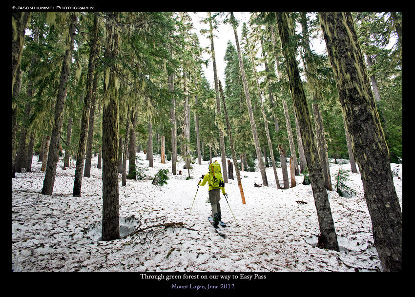
As we skinned the weather was damp and surrounded with clouds. According to the forecast there was potential for a one day weather window the following day. At least that is what we hoped for as we skinned up to Easy Pass.
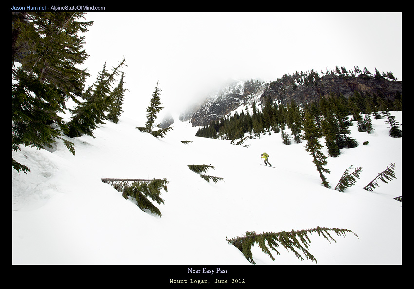
Before long we were at Easy Pass and greeted by Golden Larch Trees and whiteout conditions. We sat and made a plan slowly in hopes that the weather would clear eventually. We knew underneath us was cliffs but we couldn’t see them.
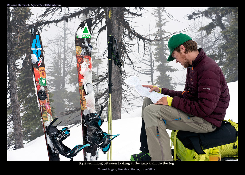
Heading Over Easy Pass to Fisher Basin
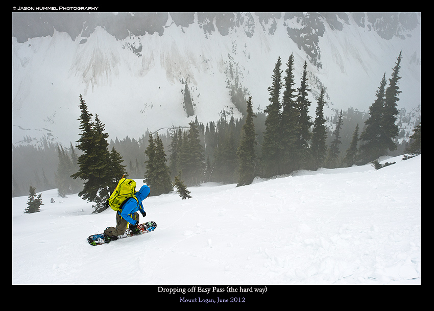
In the end we decided on going fall line and rode down the not so easy slopes of Easy Pass. Somehow we managed to make our way through the cliffs and down into the Fischer Creek valley. This area was made famous as the last recorded shooting of a Grizzly in Washington.
And that’s were the slog began down Fischer Creek. For the next several hours I put my head down and skinned up, over and around fallen trees and across creeks. What had taken Scott and I a full day took Jason and I an afternoon. The last time I was there was in August and without any snow.
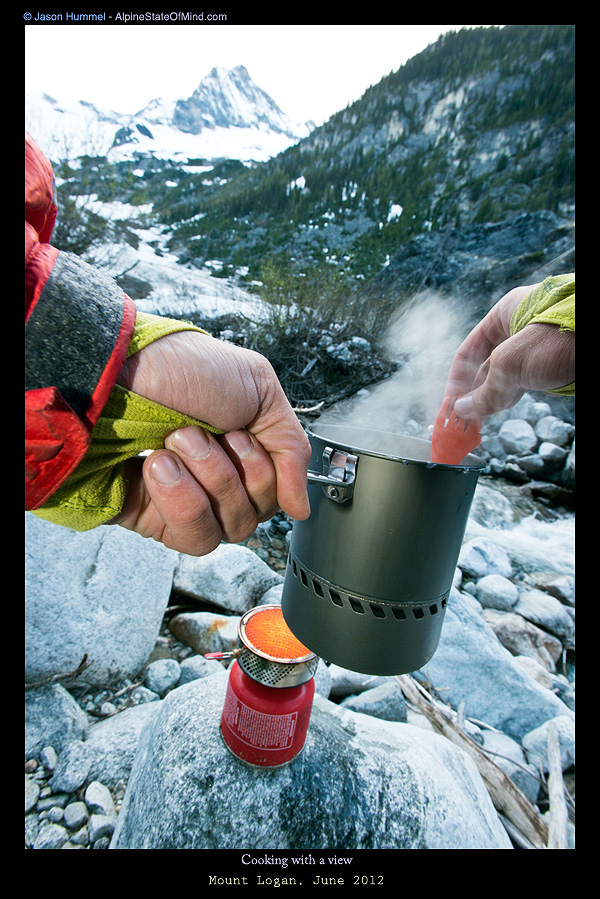
The crux that had stopped Scott and I was now covered with a 5 foot deep ramp. Near the end of the day we set up camp and the base of Logan on a sandy spot. We were right next to the creek and and happy to camp in luxury.
Day 2 Climbing and Mount Logan via the Douglas Glacier
It was decided that we would start at sunrise leaving at 5:30 in the morning. The snow was firm as we put on our crampons and climbed up the gorged out glacier carved cirque. All that was is left is a cliff band that wrapped the entire cirque but we found one weak point. There was a small ramp leading up to the Douglas Glacier.
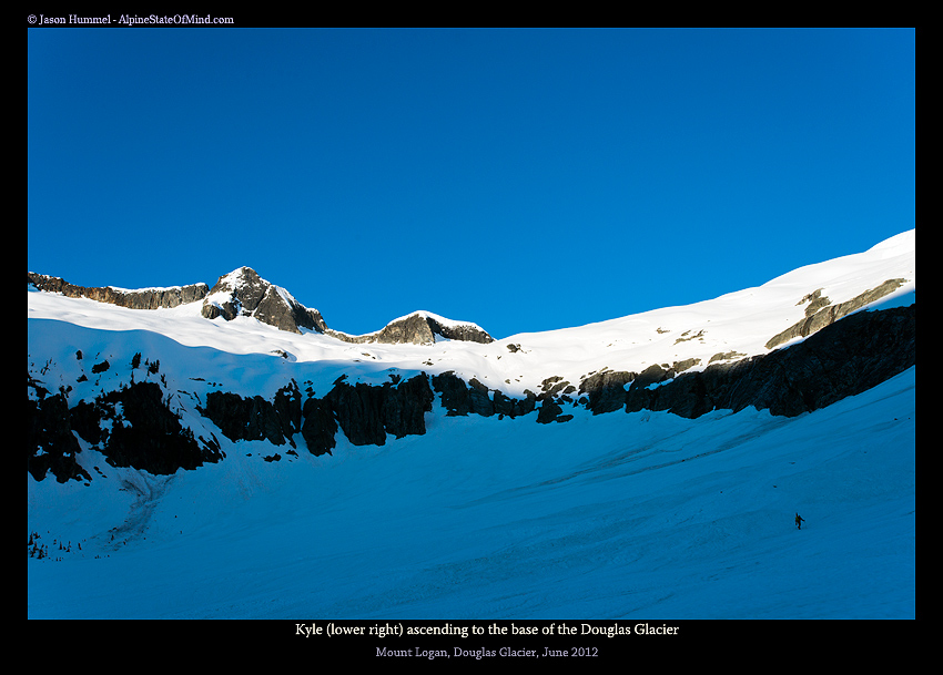
We kept a brisk pace while booting in the shadows hoping to warm up along the way. The moment we ran into the sunlight we took a break. Our bodies were still cold from the early morning and we enjoyed the heat. It was bitter sweet as now we were out of the shadows for the rest of the day.
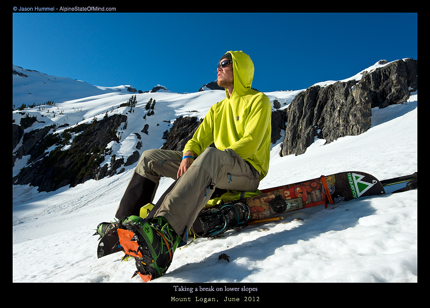
Soon enough it was time to start moving again. After a close inspection we were happy to see that the ramp went. Although it was steep it was our only option kicking our toes into the firm snow. The area was only around 300 feet but the crux of our trip. Soon enough we were past the cliff band and on the open slopes of the Douglas Glacier.
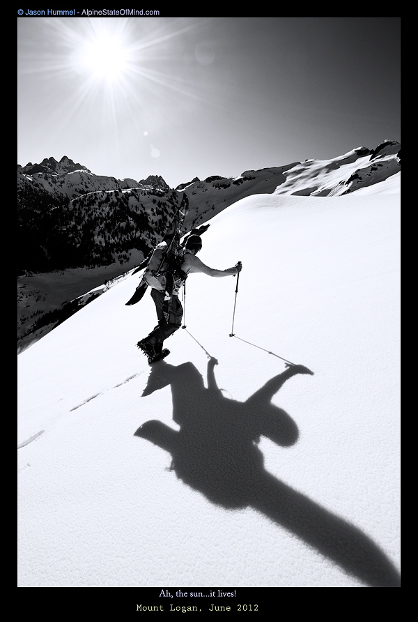
Though the crux was over with we still had to make our way up the toe of the Douglas Glacier. Being both firm and steep it was easier to climb then skin. As we climbed a foot at a time we looked foreword to skinning. Soon enough we would get some of the weight off of our packs. By now the day was starting to get hot and it was a matter of time before the snow turned to slush.
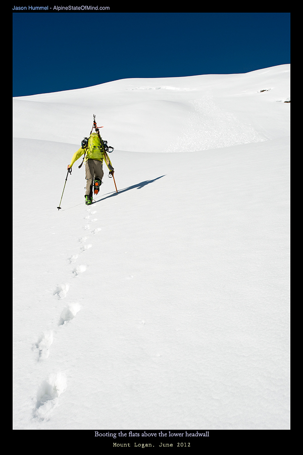
Skinning on the Douglas Glacier towards Mount Logan
Soon enough we were above the toe of the Douglas Glacier and on mellower slopes. Through straight foreword the day was turning out to be hotter then expected. We felt like we were in an oven as we stopped to transition. By now we could see the summit of Mount Logan to the west. It was an easy route compared with the steep rock faces to the east.
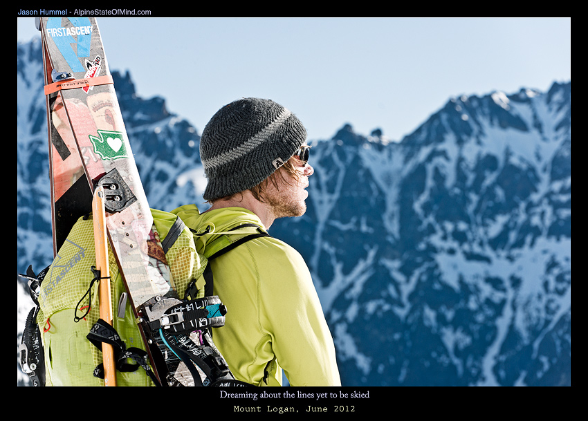
We were able to start covering grounds making our way up the Douglas Glacier. Before long we made our way past a col connected to the North Fork of Bridge Creek. Crevasses were few and far between as we put in low angle switchbacks. It was a rare blue sky day without any wind.
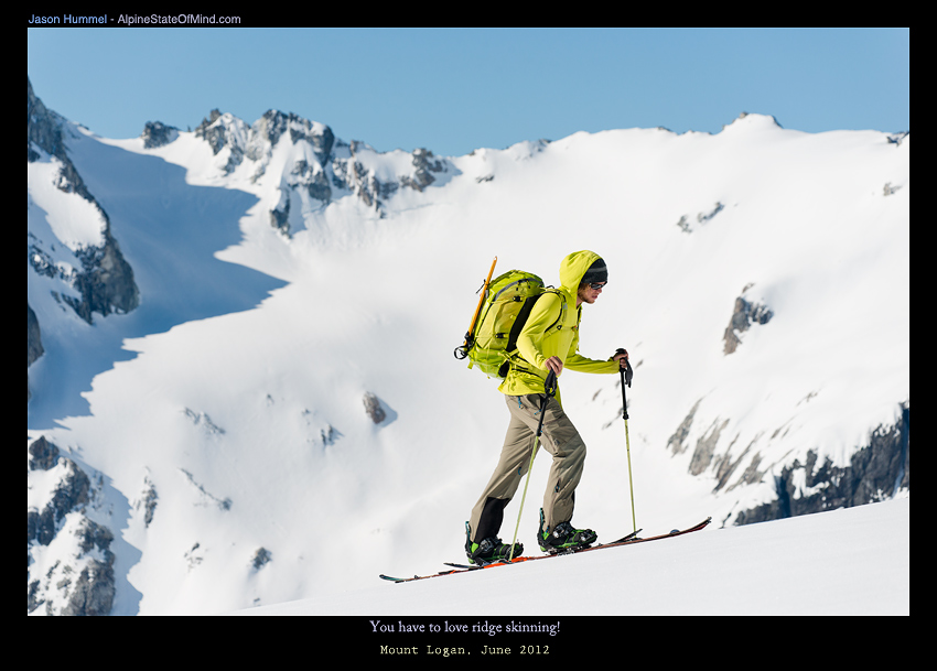
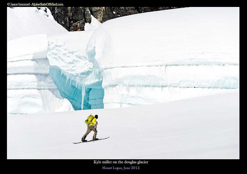
Loosely following the rock band to the west we made our way up the Douglas Glacier. What had seemed like a small bump in the distance was 30 foot tall ice walls. Fortunately we were able to stay clear of anything technical. Making our way up to 8,200 feet we would only have to boot pack the last 1,000 feet.
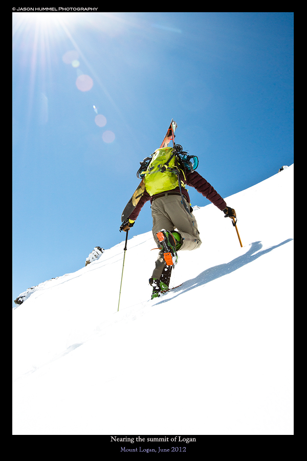
Near the summit is where things started to get steep again. The upper ramp quickly warranted putting on crampons and using an Ice axe. Our last few steps were easy on a windswept ridge. Heading towards Mount Logan we had solid footholds and moved fast. Before long we made the final steps to the summit and ready to soak in the views.
Standing on the Summit of Mount Logan and Finnish the 9000 Peak Project
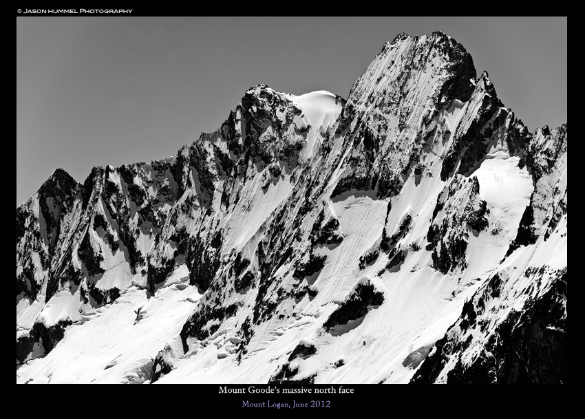
We had finally made it to the last of the 9,000ers and we celebrated with views of prior descents. To our east stood Goode Mountain which we found ourselves shiver bivying at the base of a year before. Looking north was Jack Mountain which we had summit a month prior. Across the valley and to the west was Buckner Mountain and Thunder Creek. To the South was the crown of the Cascades being Bonanza Peak and the highest non volcanic summit in Washington.
Snowboarding Down the Douglas Glacier on Mount Logan
All that stood between us and camp was a 6,000 vert descents. We chatted for a bit before switching into downhill mode. It was time to ride down the Douglas Glacier and retrace our steps. By now the sun had turned the firm snow into ice. Strapping into my snowboard it was time what had taken us hours to climb in minutes. Soon enough we were riding off the east col and riding towards Fischer Creek.
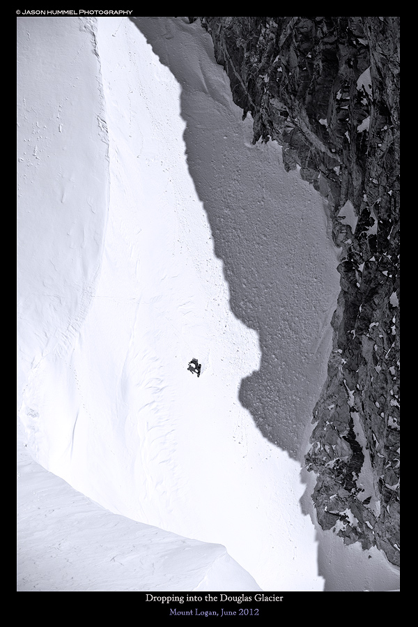
Happy to have soft and edgeable snow we were making our way down fast. Riding off the col we were know making turns with the Douglas Glacier below us. Working with the terrain we hit up made turns off the ridges. Below us was the occasional crevasse with massive open slopes in between.
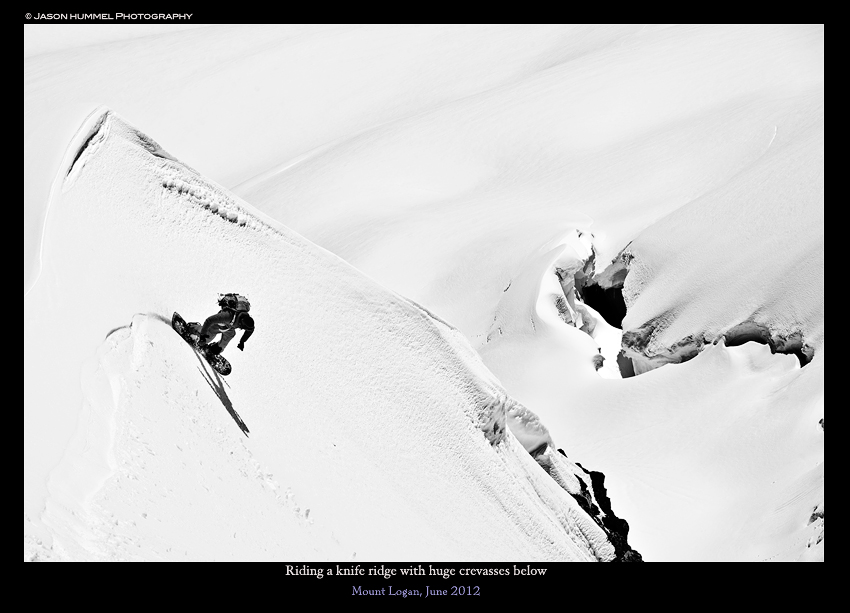
Not knowing exactly where the crevasses were from above we retraced our tracks. The scenery of the North Cascades were stunning. Soon enough we were passing the North Fork of Bridge Creek Col. Behind us was Goode Mountain making a stunning backdrop.
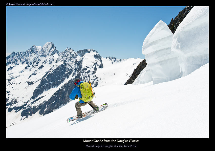
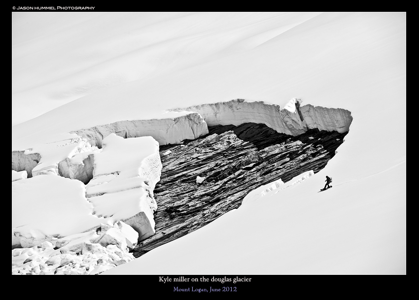
Near the bottom of the Douglas Glacier we passed a massive glide crack. It was well over 20 feet deep with smooth rock underneath. Piece by piece is was breaking away to the valley below. Before long we were back on our old steps and riding down the chute through the cliff band.
The Final Turns to Fisher Creek and Back to Camp
With the crux done it we had a mellow cirque back to camp. From top to bottom we were able to ride to our tent without taking off our snowboard. Soon enough it was time to rest for the long day ahead. The next morning we would have to push over 10 miles to get back to the car. We were brimming with excitement that we had just rode Mount Logan. It was the final chapter of the the 9,000 foot peaks and now it was behind us.
Day 3 Heading up Fisher Basin Towards Easy Pass and Highway 20
It was time to get moving as a front was coming in. The alarm went off after sunrise and we were quickly packing our bags. After some coffee and breakfast we were making our way east up Fisher Basin. Though occasionally we could see our skin track the route was anything but direct.
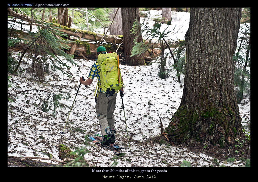
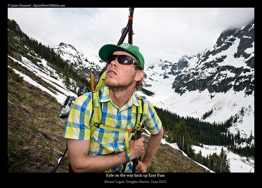
By the time we made it up and around the cliffs that surrounded Easy Pass I was feeling exhausted. It was still really hot but the clouds also brought moisture into the air. Happy to be done with the climb of Fischer Basin we switched to snowboarding. Making our way down the east slopes of Easy Pass we were close to the car. Following Easy Creek we were able to ride all the way to Granite Creek. After a few steps we were back at the trailhead and at our car. Finally the long journey to Mount Logan was over with. We could switch our mindset to different goal. I still had one more trip I was interested in for the season which was Traversing the Pickets Range.
Thank you for reading this trip report on Mount Logan via the Douglas Glacier
If you want to see more ski tours within the the Highway 20 corridor check out this link.