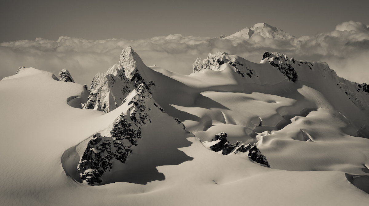
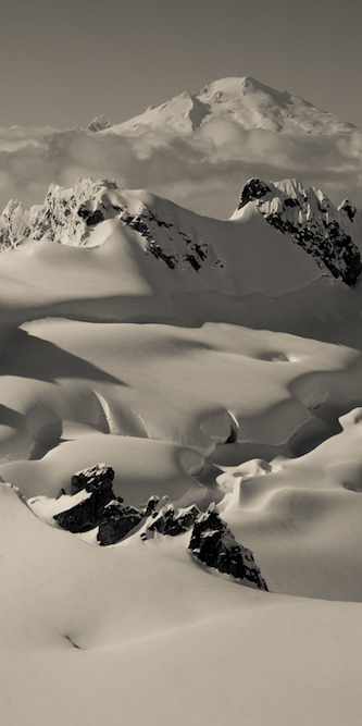
The Isolation Traverse is a ski tour from Highway 20 in the North Cascades National Park to the Cascade River Road over 4 days in Washington State. Usually the trip starts at the Eldorado Trail Head we started at the Pyramid Lake Trail head as this was part 1 of the American Alps Traverse.
The Concept of the American Alps Traverse
The American Alps Traverse was something Jason Hummel had talked about over the years. Season after season we had gained experience doing ski traverses but this was something I would just laugh it off. It seemed like a mission beyond what I could/wanted to do as it entailed endless sidehilling, massive backpacks and bushwhacking. The stars would align in the Spring of 2014 with an email we both received from Forrest Mcbrian. With a subject stating “Let’s go for it guys” Jason was already hook in and kept trying to persuade me to join.
Soon enough I gave in and we set plans to head out in May. It wasn’t until 2 weeks before the trip that Forest bailed for a Ranger job on Denali and it was now just Hummel and I. The goal was to do a single push from Highway 20 to Glacier Peak following the Cascade Crest. The whole concept of it was created by Lowell Skoog many years before and attempted a few times but never done in its entirety.
Mental Preparation for the Isolation Traverse
Even before arriving at the trailhead I was anxious and lacking the confidence that we would complete the trip. I had rolled my ankle a year prior and although it was feeling better there was a fear that the issue would return. On the days before we started I wanted to bail so I decided to get a tattoo of Sisu on my wrist. It is a Finnish term meaning “keeping a level head in the worst of situations” and now it was written across my wrist. The reason I did this was that I knew it would be motivations to look at in and have 3 different possibly outcomes. 1. I got this tattoo and I didn’t even try the American Alps Traverse 2. The trip didn’t pan out but at least I tried or 3. I did what I didn’t think was possible.
It was now on my skin forever and it was my choice of what to do next. Could I do the Traverse or Should I even try? These questions ran through my head nonstop until we were at our departure point, standing at Pyramid Lake trailhead on Highway 20. It was a cloudy day but the forecast called for it to improve over the next few days. It seemed that our weather window was coming together and this was our chance.
Starting the Isolation Traverse at the Pyramid Lake Trailhead
After throwing 5 days worth of food and gear into our packs it was time to start the Isolation Traverse. I decided to keep the mindset of going one traverse at a time. This broke the the three separate ski traverses into much smaller trips and let me know I could bail at anytime. Walking through the forests I was feeling strong even though our backpacks weighed us down. Every step we gained in elevation meant we were closer to putting our skis on the snow.
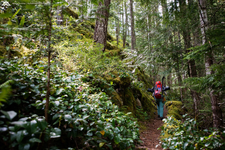
After a few hours we past Pyramid Lake and were getting into the snow line. From here on out we would be skirting alpine for the next 3 days where trees would be few and far between. Looking above us clouds were coming and going as we kept climbing wondering what was in store. By the end of the day we hoped to be on Pyramid Peak Col and on the high glaciers.
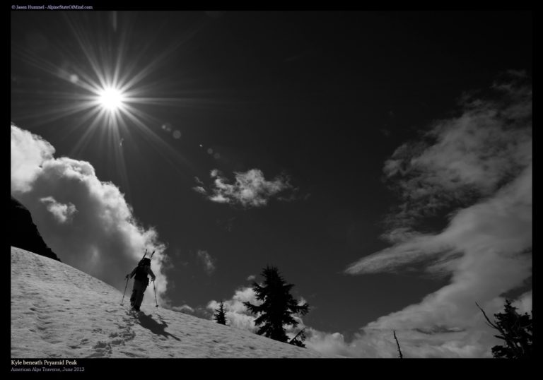
Looking back we could make out the Ross Lake area in the Skagit River Valley below. From our vantage point we could see where we had both started the Pickets Traverse heading up onto Sourdough Ridge. On the eastern shores of Ross Lake we could see the lower mass of Jack Mountain. This was an area both Hummel and I had climbed the previous year with the goal to climb Washington’s 9,000 foot Peaks.
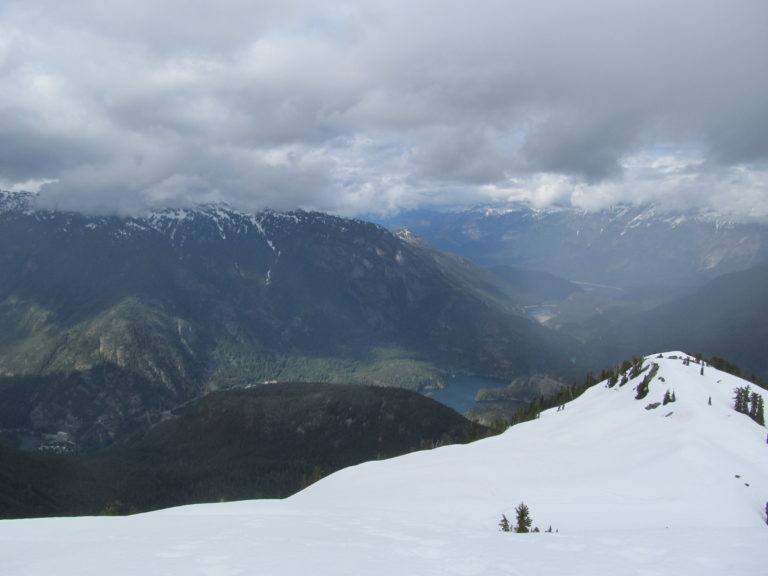
Arriving in the Alpine Below Pyramid Peak
Before long we ascended into the thick of the clouds and visibility was quickly shut down. Finally we had our skis on our feet and we had hoped to cover ground faster. Knowing we were heading towards Pyramid Col we wondered if the clouds would blow off. Though the route for the first day of the Isolation Traverse wasn’t technical we would have to be careful navigating.
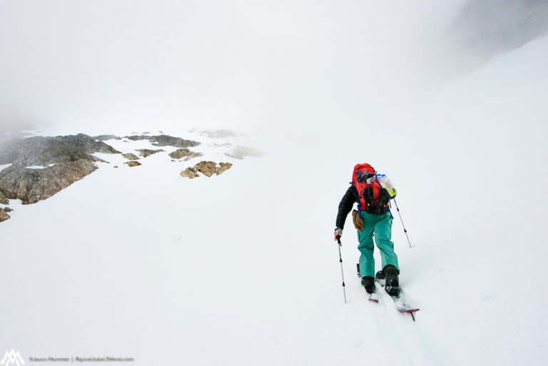
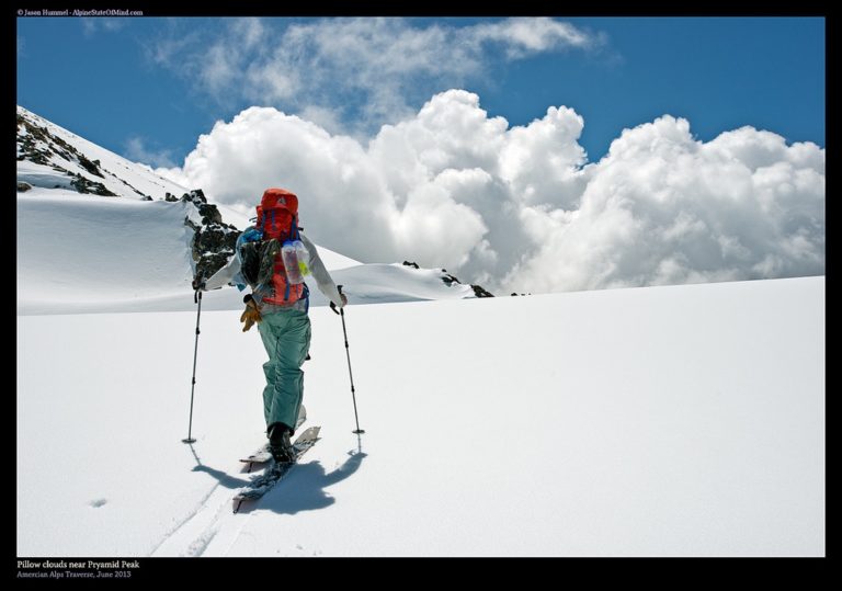
As we made our way onto Pyramid Col we were happy to have the clouds burn off. Finally we had a view of the summits surrounding us could relax knowing how close we were to a potential camping spot. This was a new area to me and it felt great to start connecting the lines of the topographical map to what I was seeing.
Finally we arrived on Pyramid Col and decided to camp on the one area that wasn’t covered in snow. We were excited get our backpacks off and start setting up the tent. We kept joking that the more food we ate the less weight we would have to carry the next day. Quickly there was a gear explosion while we made sure to eat the heaviest food first.
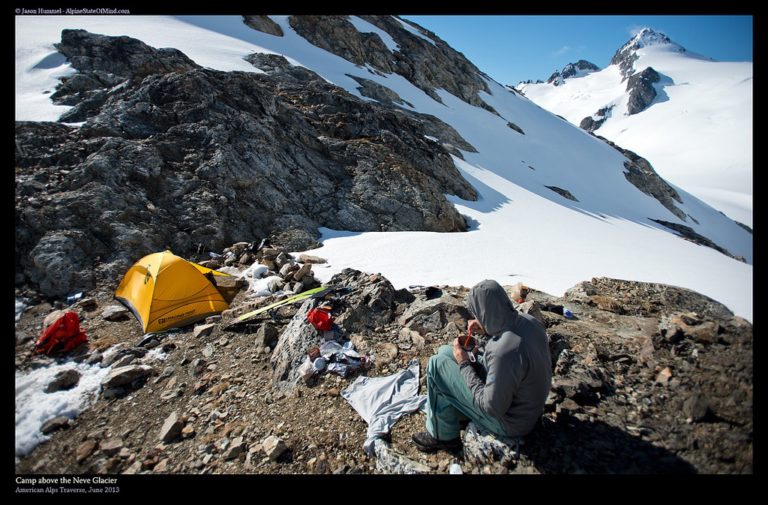
Our First Camp of the Isolation Traverse at Pyramid Col
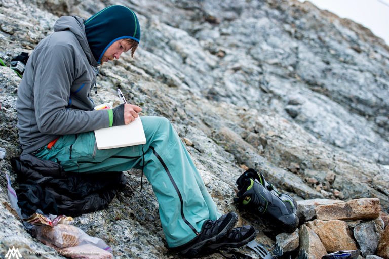
After a bit of scanning through the maps we both went to our journals. Jason had kept a detailed book of his adventures over the years and by now had multiple books filled to the brim with writing. For the next 30 minutes I sat on a dry rock and just wrote whatever came to mind.
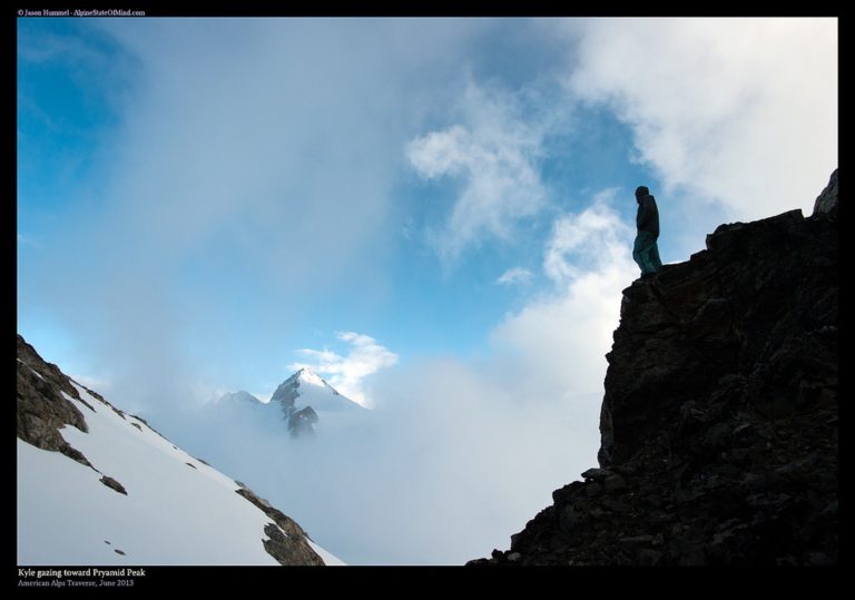
Looking across the col we could see the beginning of the next days route . While we could see blue skies above the clouds the weather was still making us nervous. Since there were no trees the following days white out conditions could dramatically slow down our progress.
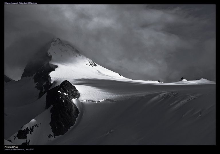
As the sun started to set we were fortunate to get a great light show over Pyramid Peak. We were happy with the ground we had covered on the first day of the Isolation Traverse and our choice in a camping spot. Beyond us was the Isolation Peak area and a much more technical day. While Jason ran around and took photos of the scenery I kept going over the maps.
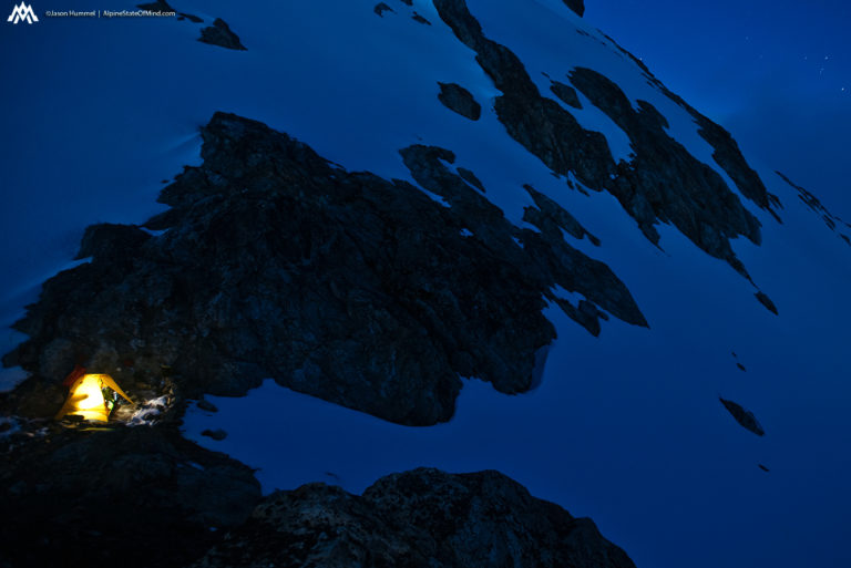
Soon enough the sun was gone and it was first night of the Isolation Traverse. We were happy to be in the alpine and have the valley floor behind us. We were in the beginning of two weeks camping among the North Cascade Mountains. Soon enough we were both asleep under a clear sky filled with stars as far as the eyes could see.
Day 2 of the Isolation Traverse From Pyramid Col to Isolation Ridge
We woke up to clear blue skies and were happy to see the route in front of us. Before long we had our bags packed and we were making the first turns of our trip. Dropping onto Neve Glacier we were getting further from civilization a turn at a time. Before long we had arrived on the glacial massif and it was time to start heading for Snowfield Peak.
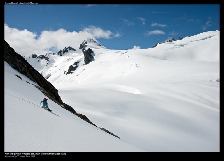
As we started skinning we were happy that the weather had changed for the better. Though the route was straightforward it would have been a nightmare in a white out. There was no questions of if we were going the right way. Working our way up the glacier we were about to find easy ramps to wrap around the crevassed sections.
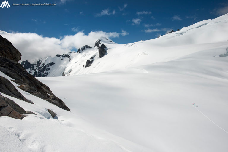
The clouds slowly moved along the landscape as we set our skin track to the south. As we climbed the landscape started opening up around us. It was a stunning location as the base of the mountains were buried under the Neve Glacier.
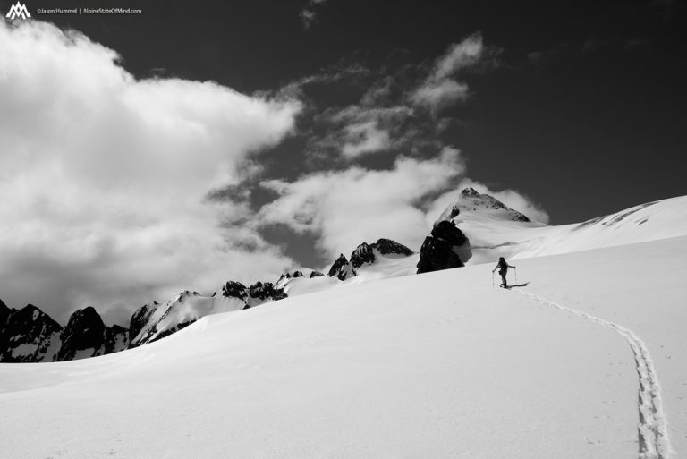
Once we made it onto the ridge travel was going to be much rougher. We were about to embark along isolation ridge but from what we saw we wouldn’t be able to stay on it. Instead we would be heading up and over peaks and sidehilling steep slopes for the next few hours.
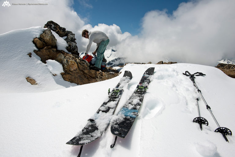
Starting the Long Traverse Along Isolation Ridge
Finally we had views of our route up the McAllister Glacier in the distance. If all went smooth we would be traversing through the area in two days. This was an area that I had rode in before but between there and where we were was a world of unknown mountains to me.
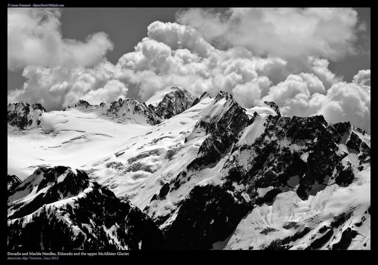
Before long we had transitioned and were riding southwest from snowfield col. It was our second run of the day and the entrance to Isolation Ridge. While only a few hundred feet it felt good to be covering ground at a faster pace. Soon we would be climbing and sidehilling for the rest of the day.
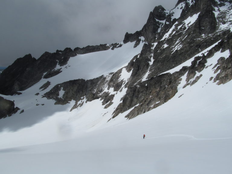
Once arriving on the flats it was time to get to skinning. Each step was taking us further into the Isolation Traverse and into the rugged mountains. This was the spot where we really needed good weather and were happy to see that most of the clouds had burned off.
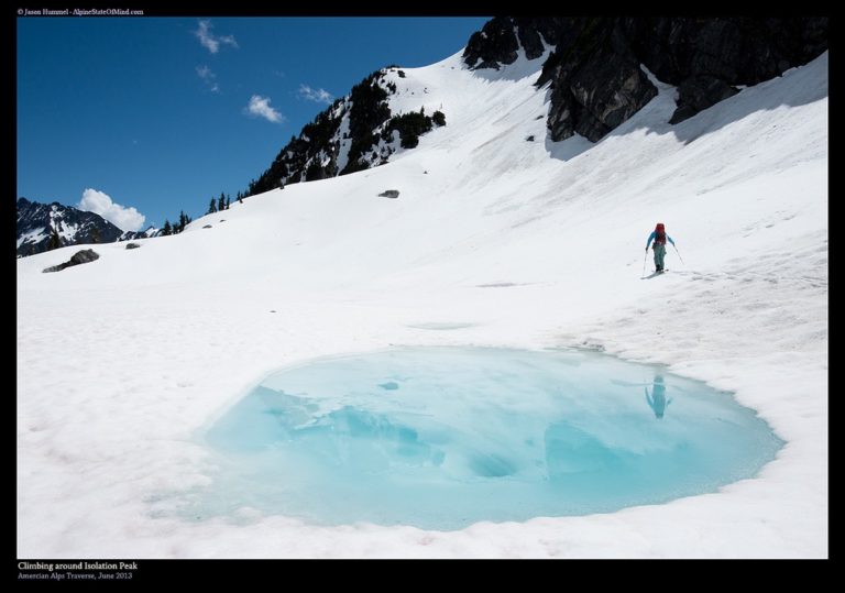
Finding Dirt on the South Facing Slopes Above McAllister Valley
The snow ran out as we made our way over to the south facing slopes. It was time once again to put the board onto the backpack and start heading west. As we kept making our way through the Isolation Ridge area I wondered how the route would go. From what I could see there was a few steep ridges that would block our progress. Fortunately Hummel had done the Isolation Traverse before and with that I was confident we would find a way.
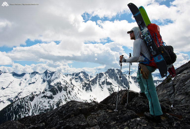
Making our way across the south facing slopes I was happy to find flat benches which allowed us to cover ground fast. Underneath us was a massive drop to the McAllister valley which was fed by Eldorado Peak. The brown and gray of the ground we were walking on was a stark contrast to the mountains we could see in the distance.
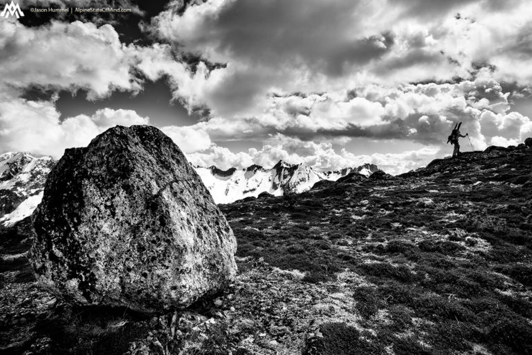
Over the next few hours we would traverse, climb up and then climb down making our way through Isolation Ridge. Though it was challenging we were happy to be getting closer to Isolation Peak with every step. The plan was to move as far as we could before setting up camp. The further we made it during the day the less miles we would have to make up the following day.
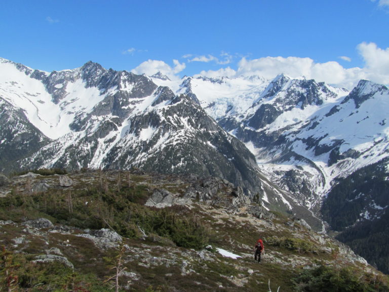
Setting up Our Second Camp of the Isolation Traverse
Soon enough we found a flat spot on snow with a bit of trees for wind shelter. It was our best option for putting up camp as the weather seemed to be deteriorating. Knowing it was a race against the weather we quickly put tent and found a stream to fill our water bottles in. We had covered some good ground and by now we were halfway done with the Isolation Traverse.
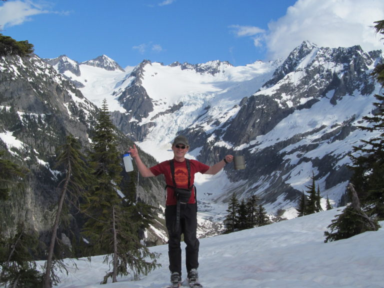
Within 30 minutes of being at camp we were hit by a rain storm. For the next hour we there all of our gear in the tent and waited for weather to improve. Once the rain finally let up we both got our of the tent to find a rainbow over the Mcallister Valley. We took the opportunity to stretching our bodies and take in the views. It was a stunning spot and we wanted to make the most of our surroundings in case the weather deteriorated.
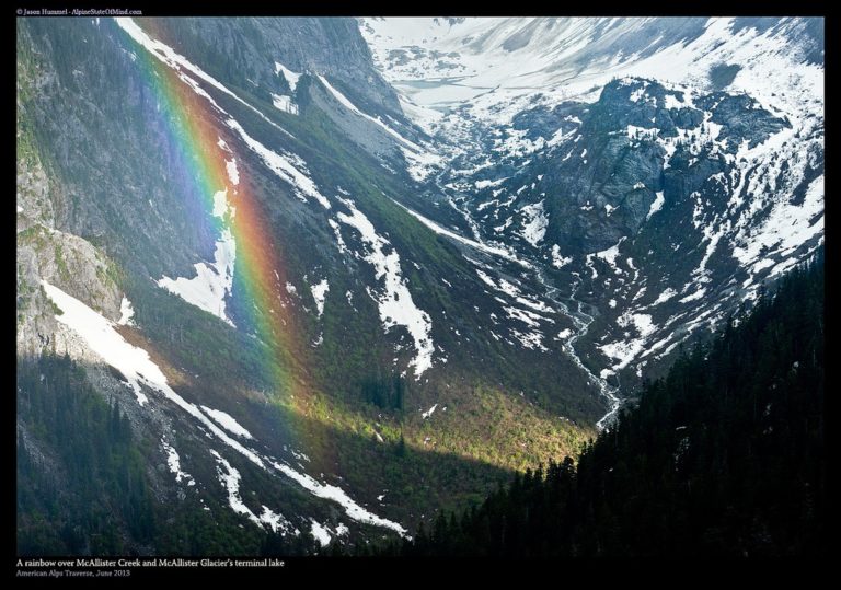
Day 3 of the Isolation Traverse up and over Isolation Peak and Backbone Ridge
Getting out of our tent we were happy to see that once again it was good weather. After 30 minutes of eating breakfast and drinking coffee it was time to get moving. Once again we were back to sidehilling and bootpacking as we made our way west with Mount Logan in the background. From the first steps we put in we were off the boulders and back on snowpack making a steep ascent towards Isolation Peak.
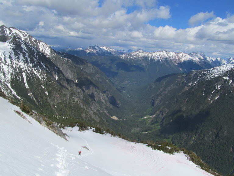
Before long the terrain ramped up dramatically and we would have to gain the ridge. There was a rock face blocking our progress and now we were on the south slopes of Isolation Peak. Kicking in the steps we were happy to find perfect kick stepping conditions. The snow was neither to firm or too soft as we switched off trail breaking until arriving on top.
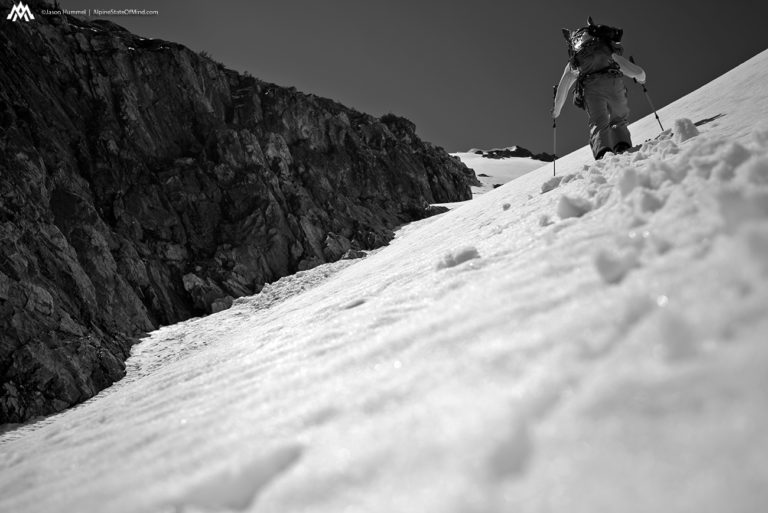
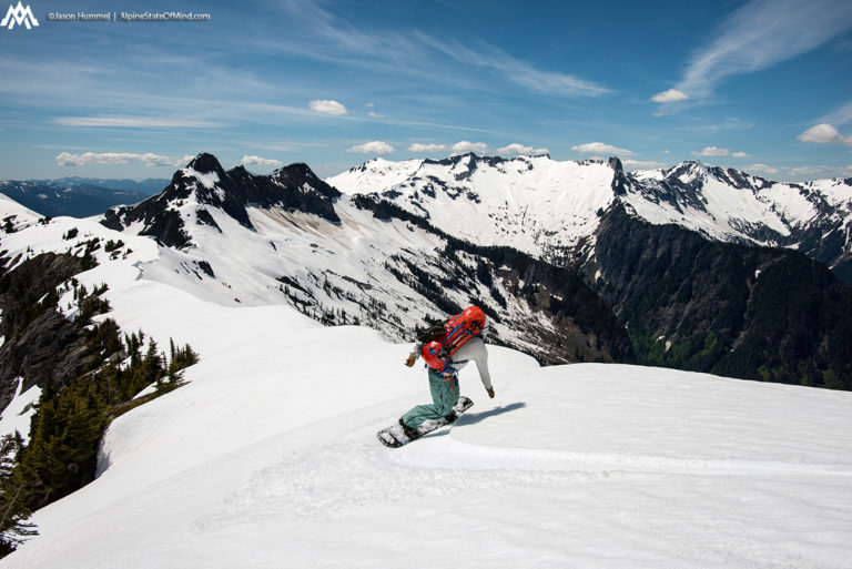
We had finally made it to the summit of Isolation Peak and it was time to transition. Putting the snowboard together we would be able to ride a few miles along the ridge. In front of us we could see the low col of Backbone Ridge which was our next destination. Riding along the high slopes we were happy to make turns instead of walking.
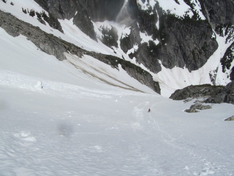
Finally we dropped into the bowl just southeast of Backbone Col and switched over to bootpacking. We had made it through the hardest section of the Isolation Traverse and soon we would be on a straightforward route. There was a bit of excitement as we made our way up knowing we would soon get a view of the western slopes.
Heading South on Backbone Ridge
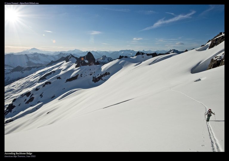
Climbing the last few steps I found myself with my fingers crossed. I was both hoping that all would be easy travel yet fearing we were heading towards difficult terrain. Soon enough we were on the southern slopes of Backbone ridge and looking among North Cascades National Park. To the west was numerous mountains I was unfamiliar with other then seeing there topographical lines on maps.
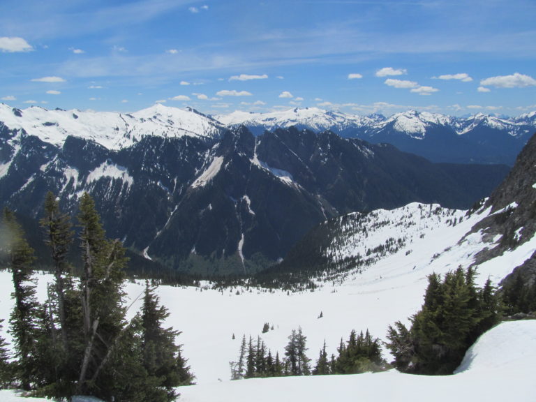
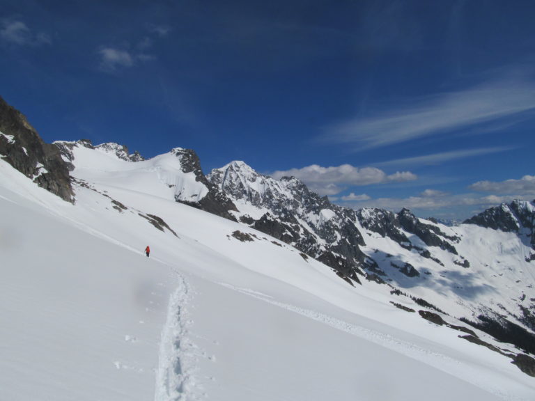
As we started moving south we had an unobstructed view of backbone ridge and felt happy with the route in front of us. The afternoon sun had by now warmed up the slopes and we were kicking off wetslides underneath us. With each step we would cause the snow to move and hear it rumble a thousand feet down the valley crashing into vegetation. Cautiously we pushed our way forward a step at a time making sure our skis didn’t get caught it the slush. Progress was becoming slow but it was the price to pay for being there when we were. Fortunately it was a low angle traverse so at no time were we above each other.
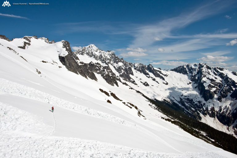
As we skinned south the terrain mellowed out and fortunately so did the avalanche conditions. Looking back to the north we had already covered a long distance sidehilling for what felt like miles. In front of us we were happy that the rest of the days route was straightforward.
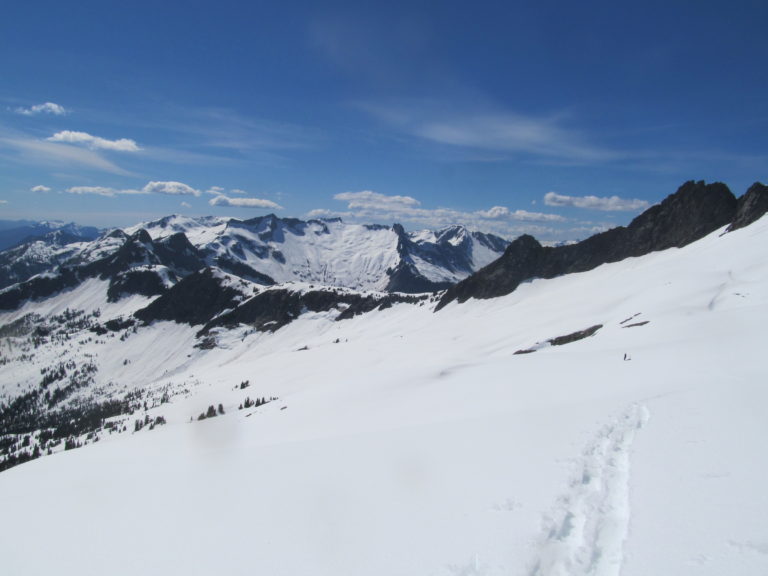
Less Sidehilling and More Flats on Backbone Ridge
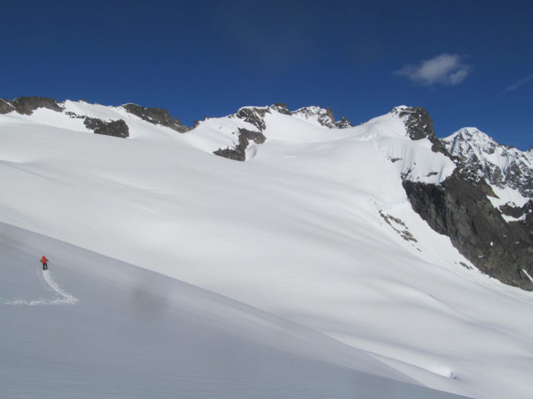
Below us Newhalem Creek was dropped off thousands of feet before reaching the valley floor. Gone were the hours of sidehilling and now we were on flatter terrain. Finally we could move at a faster pace not worrying about wet slides. Hopefully within the next few hours we would be at camp for the night.
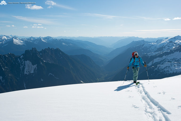
From our view we could see Eldorado Peak in the distance getting closer and closer. We weren’t exactly sure where to set up camp for the night but we needed to be close enough to exit the next day. In the distance we could see what seemed to be a flattish summit. We would keep pushing forward and if space allowed we would set up camp and be rewarded with views of the North Cascades.
As the day was getting later our potential camping spot was in view for hours. It was one of those situations where we felt like we would never get there as we pushed forward. Though our destination seemed so close it felt like we were never gaining ground.
Soon the landscape of the North Cascades was coming out over the horizon. First we saw the crest of Mount Baker rising the landscape. Before long we could start making out Mount Shuksan to the east followed by the jagged peaks of the Picket Range.
The Final Push to Camp
After a few hours of skinning on Backbone Ridge we finally made it to a nice flat spot. We decided to take a quick break before our final climb. I had come up with the genius idea of unwrapping all of my Cliff Bars and putting them in a single bag and doing the same with my shot blocks in another. Taking the bags out of my pack they had now combined to what seemed like a loaf of bread. Even worse the Shot Blocks had turned into an almost liquid slime as I scooped them out with my hand.
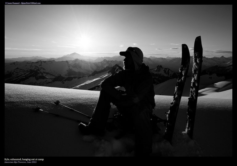
It was time to get moving in search of our camping spot. We had covered a lot of distance throughout the day and I was looking forward to taking off my boots. Making our way towards the final climb of the day the sun was starting to set to the east.
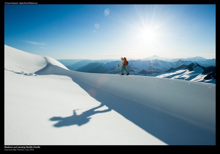
Finally we were putting in our last steps up to the side summit of the Marble Needle. From the distance we knew there was a flat spot to camp. with our skis on our backpacking we were happy to find that the slush we had experienced earlier had started to cool off in the afternoon sun.
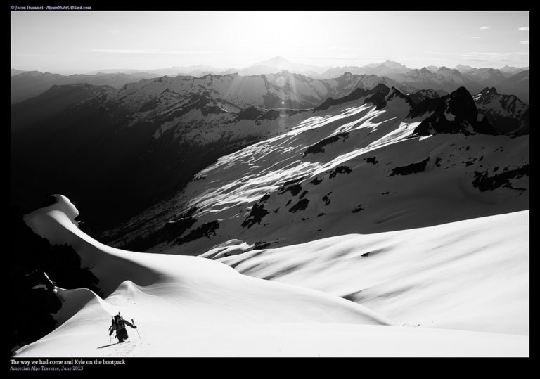
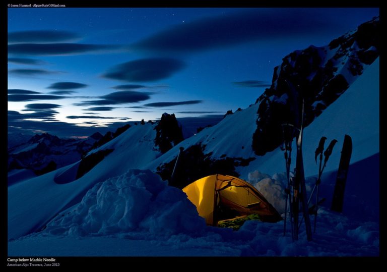
Once at our camping spot we had jaw dropping views of the North Cascades and Mount Baker standing proudly. We had made it across Backbone ridge with minimal problems and were ready for our final night of the Isolation Traverse. Within 24 hours we would be at the Eldorado Peak trailhead where our friend would be waiting with a cache of food.
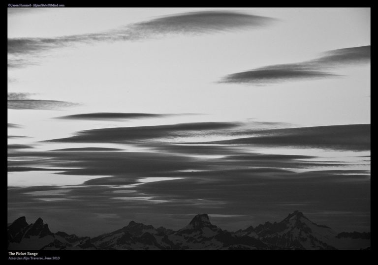
Our Third Camp on the Isolation Traverse
As the sun dropped over the Puget Sound we watched its reflection on the sea below bordered between Mount Baker and Mount Shuksan. Taking in the last of the light we set up camp and started making dinner. It had been a good call to push past all the potential camping spots as the view was stunning.
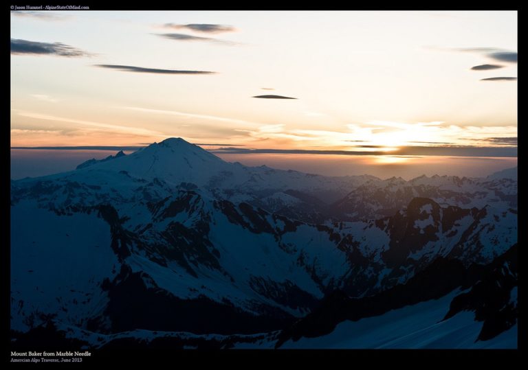
Looking back on towards Backbone Ridge we had a clear view of our days route. It had turned out to be a great day and had gone as smooth as we could have hoped for. Though we had a bit of an issue with the snow conditions we were happy to put it behind us. The rest of the trip would be on familiar grounds before starting The Extended Ptarmagin Traverse.
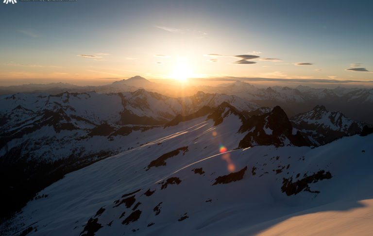
Laying in the tent we watched the light slowly turn to darkness as small clouds started pushing in. We were perched on the perfect little flat spot and possibly our best camp of the trip so far. As we waited for the stars above us I sat in the tent and wrote in my journal. Though I had feared that I would be weak I still felt strong.
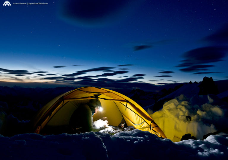
Before long it was time to go to sleep in preparation for the day ahead. As I laid down in the warmth of my sleeping bag I wondered if James would be waiting for us at the trail head. If we wanted to continue on the American Alps Traverse it was vital that we had our food cache. If he wasn’t there we would have to turn back as we didn’t have enough food in our bags.
Day 4 and the Exit of the Isolation Traverse
The last morning we dropped into the Marble Cirque with our final destination in the distance. Finally we were in familiar territory as Jason and I had rode here a few years back. Within a few hours we would be passing Eldorado Peak and finishing off the Isolation Traverse.
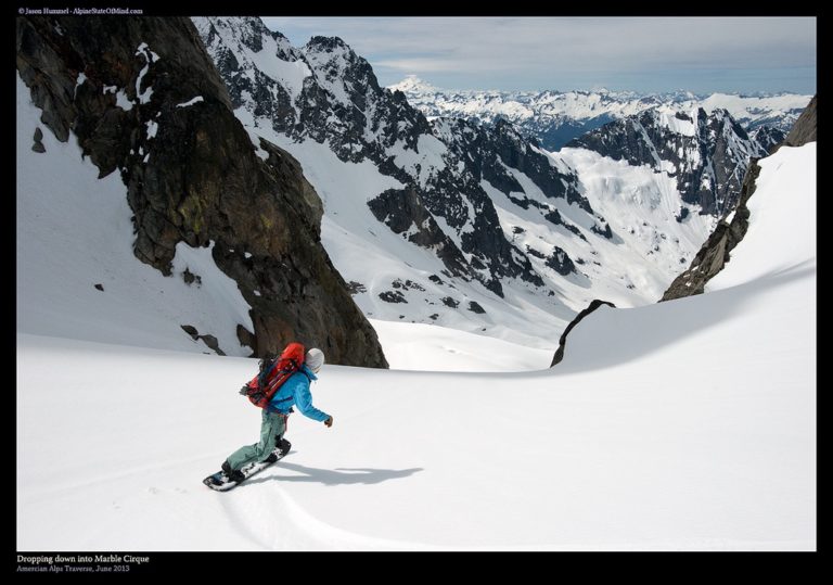
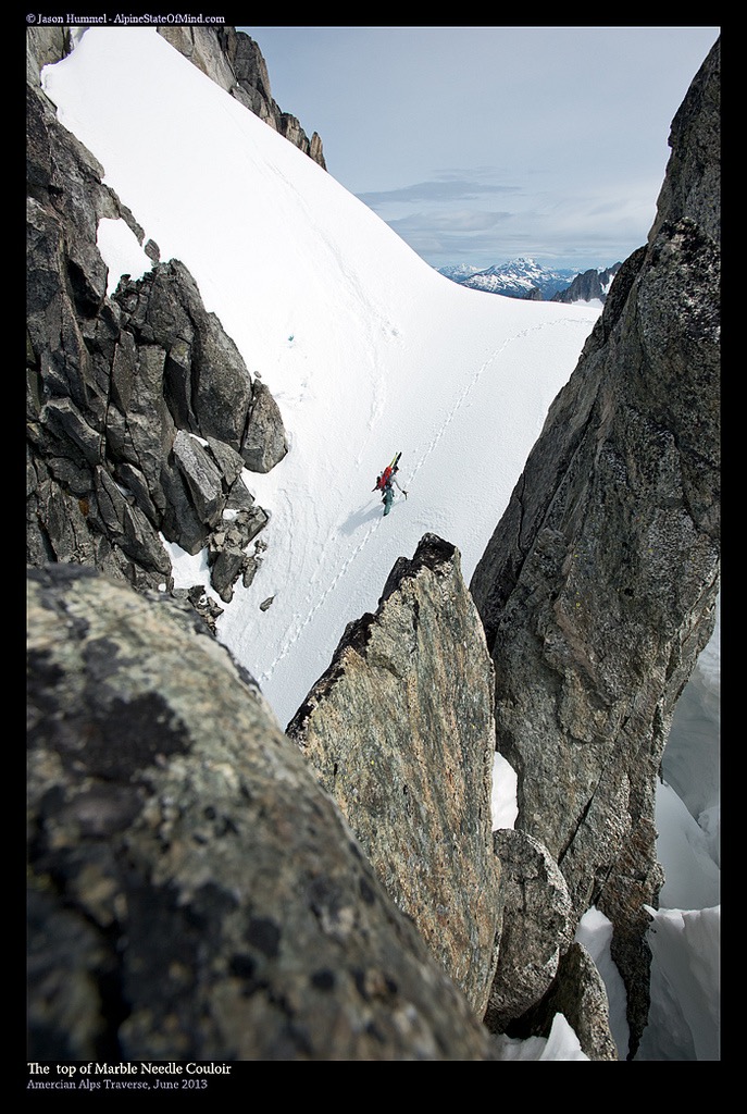
Within a minute of riding down we were bootpacking up the Marble Needle Couloir towards the McAllister Glacier. We had seen the area a few days earlier and soon we would be crossing the ice covered slopes. Nearly being able to taste the food as our gear cache we picked up our pace. Now we could see the light at the end of the tunnel.
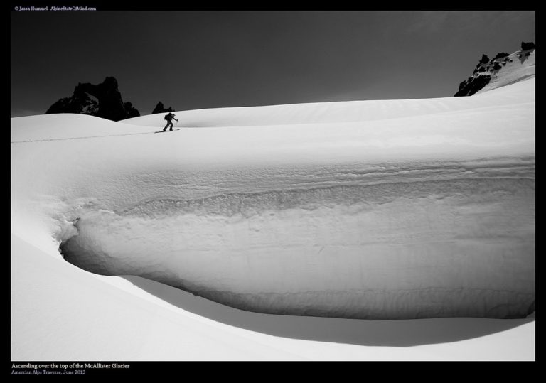
After arriving at the col we descended a few hundred feet and were skinning across the McAllister Glacier. Ahead of us was an easy and obvious route towards Eldorado Peak. Finally we were on the last ascent of the Isolation Traverse.
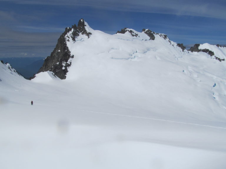
Once past the final ice bulge of the McAllister Glacier we were now heading towards Eldorado Peak. Both of us were excited to be done with the first leg of our journey and onto The Extended Ptarmagin Traverse. Within a few hours we would be in the valley and enjoying a warm afternoon in the sun with as much food as we could eat.
Our Final Descent of the Isolation Traverse Down to Eldorado Peak Trailhead
Before long we were on the shoulder of Eldorado Peak and transitioning to snowboarding. All that stood between us and the trailhead was 3000 feet of skiing and a brutal climbers trail. As we ripped off our skins we celebrated our final climb and how smooth the route had turned out. Looking south it was time to descend as far as the snow would allow.
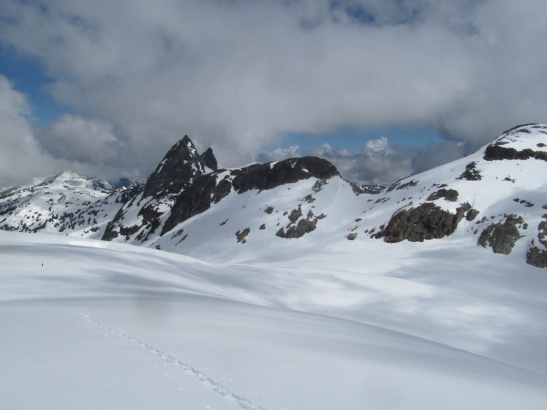
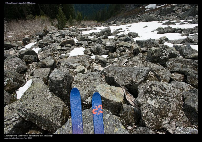
We were able to make it all the way to the south facing boulder field 2,000 feet above the valley. Putting our gear on our packs we prepared for the steep down climb to the valley below. When we started the Isolation Traverse we were so happy to put our skis on but now we were equally as excited to put them on our backpacks.
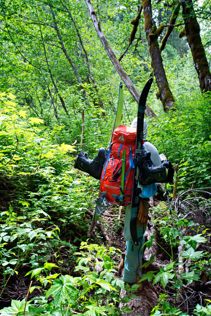
The Eldorado Peak trail is much less of a trail and more of a bushwhack as our knees adjusted to the constant grind. With our heads in overdrive we pushed our way down being careful not to lose the path. If we would have gotten lost it would have turned a two hour hike into a week long sufferfest.
Arriving at the Eldorado Peak Trailhead and Our Cache of Food
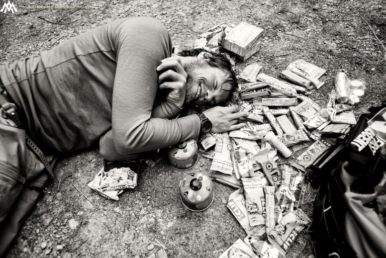
We finally arrived at the trailhead where James was waiting with a car filled with cliff bars and fuel canisters. We had completed the Isolation Traverse and were still in good spirit. My body was pretty beat but I still felt strong enough to keep moving. The hardest section of the American Alps Traverse was still ahead of us. The Extended Ptarmagin Traverse was a bit unknown as we planned on putting in a new route. As I we rested during the night my mind was going into overdrive about both this and our last leg on the Suiattle Traverse.
Would the route go, was my backpack to heavy, would the weather allow us to keep moving? These were the thoughts in my head but in the forefront was to eat as much calories as possible. Whatever I didn’t eat I would be carrying through the next traverse.
Thank you for reading the Isolation Traverse section of the American Alps Traverse. If you want to see more ski tours within the Stevens Pass Backcountry check out this link.