Diamond Peak is one of the more isolated Volcanoes of Oregon. Situated in Diamond Peak Wilderness it has a summit elevation of 8,748 feet. Situated between Mount Bailey to the South and Three Sisters Wilderness to the North it is accessed via Willamette Pass. William Macy and John Diamond climbed Diamond Peak in July 1852 as part of a survey parts and the first recorded ascent. They named the summit after a settler living in Eugene. Although named Diamond Peak no mineral resources of interest have been identified in the area. Our intentions was to ski the Massive wide open NW slopes of Diamond Peak. We decided to start our journey at the Lake Vivian trailhead and follow the Mt Yoran trail.
After leaving Three Sisters Wilderness we took the long drive south on 97. Before long we reached a junction and started heading west on state route 58. Arriving in the city of Oakridge we followed some forest roads arriving at the Lake Vivian trailhead. Bundled deep within my sleeping bag I was able to sleep until the morning heat became unbearable.
Heading Out From Mt Yoran Trailhead to Snowboard Diamond Peak
After some coffee and oatmeal we packed our gear and were off on the trail at 9 A.M. The first mile was easy on a snow free trail with little elevation gain along the way. Soon enough we were on snowpack and the trail was gone leaving us bushwhacking through dense forest.
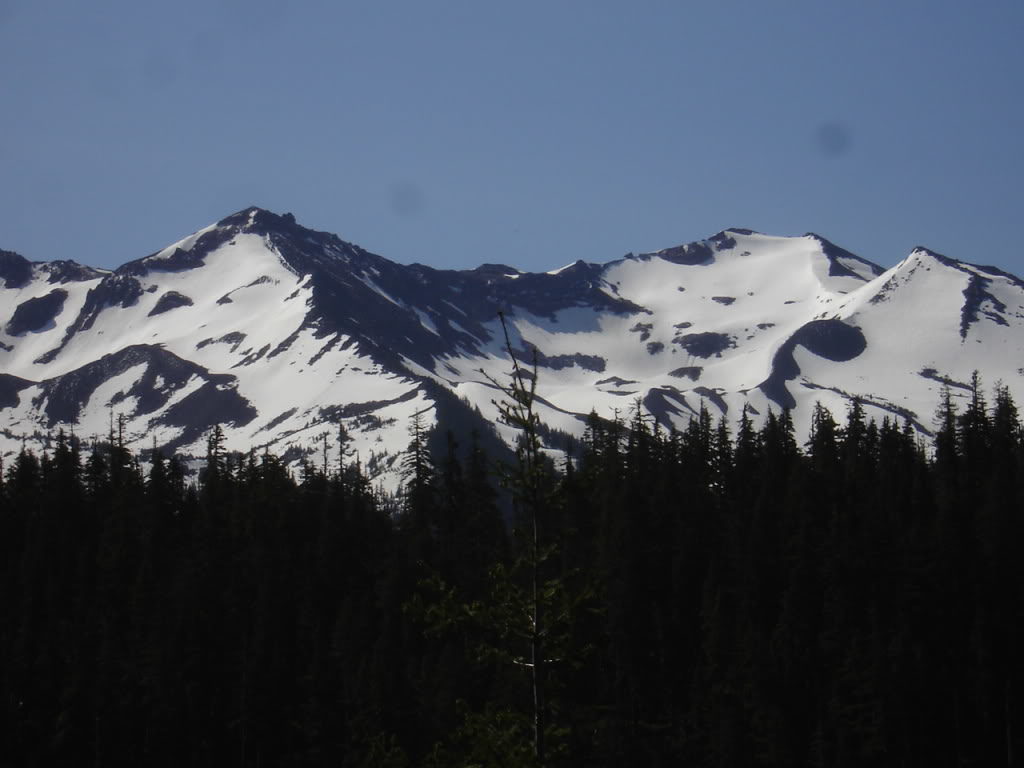
With the snow being inconsistent we kept bootpacking until reaching the ridge. Once on the ridge we were able to get a view into the Alpine bowls. Being late in the season a lot of the bowls were melted out but still had ribbons of snow. It seemed that there would be great terrain earlier in the season.
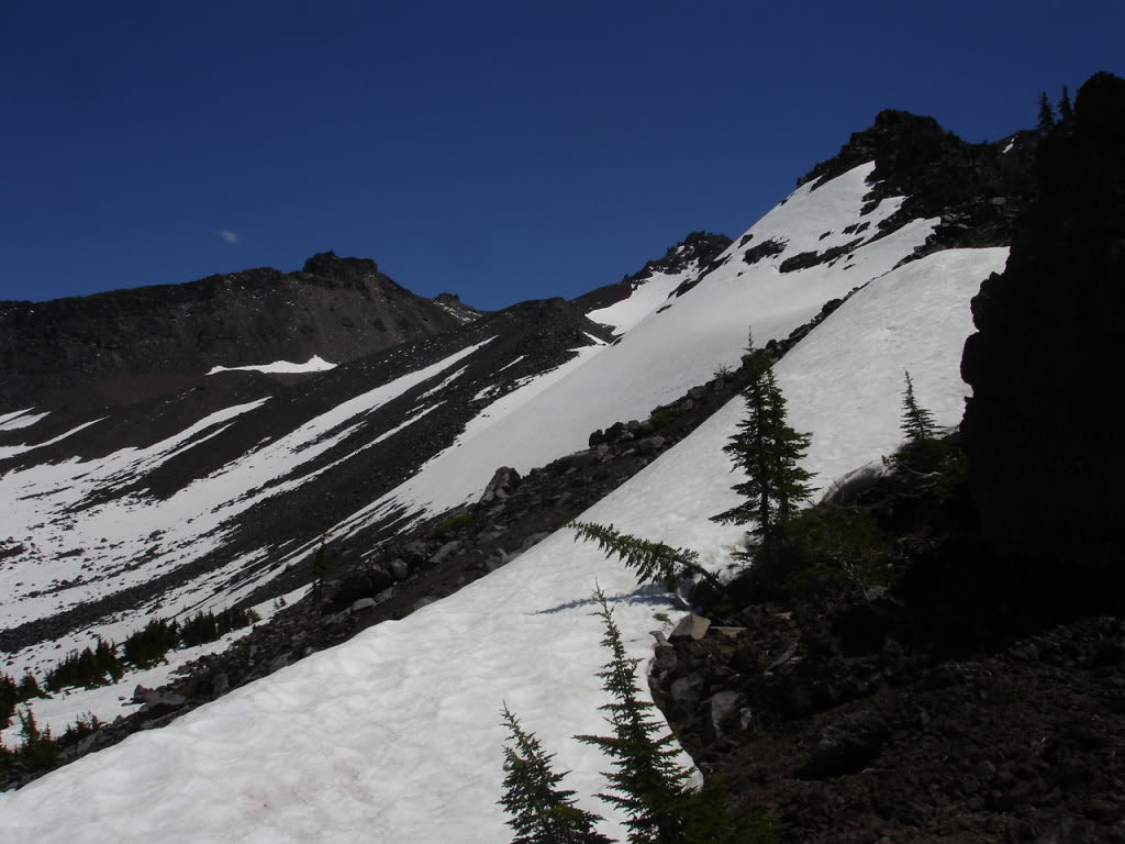
There were 2 main high points to Diamond peak, one to the North and the other to the south. with a ridge separating both of them. The Northern highpoint was melting out fast with spots where you would be forced to carry your gear along the way. To the south the summit proper had continuous snow all the way from the top. With a low traverse over to the ridge I down climbed a few hundred feet and before long I was in the main bowl. Switching over to skinning I was able to make my way towards the summit of Diamond Peak. Soon enough it was time to crampon for the last 1,000 feet.
Switching to crampons I made a direct climb to the summit proper. To the south I was once again looking into the vast Central Oregon landscape. Being around 40 miles from Mount Thielson and Mount Bailey they rose above the surrounding mountains.
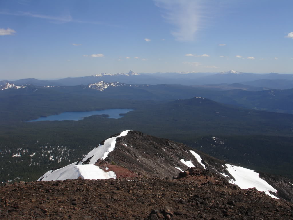
Arriving at the Summit of Diamond Peak
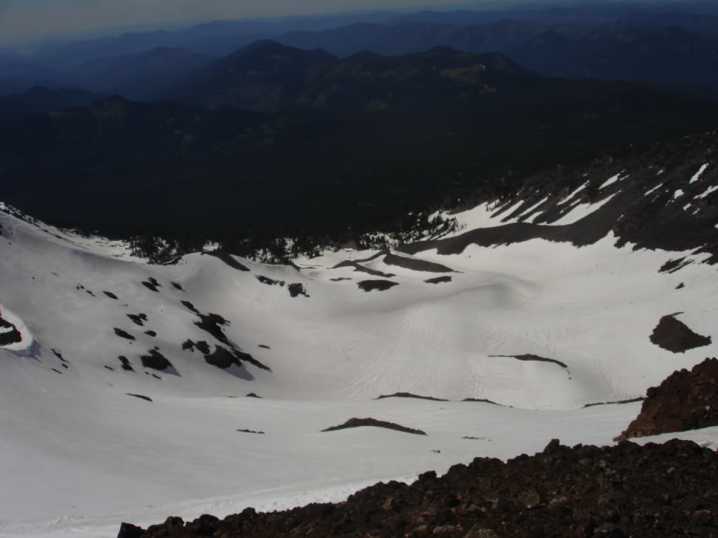
To the east was the main bowl of Diamond Peak. While the north facing bowls were divided by numerous ridges this was wide open terrain. It seemed that the best skiing in the area would be here but there wasn’t enough time. Instead I would have to go back the way I came as the truck was to the north.
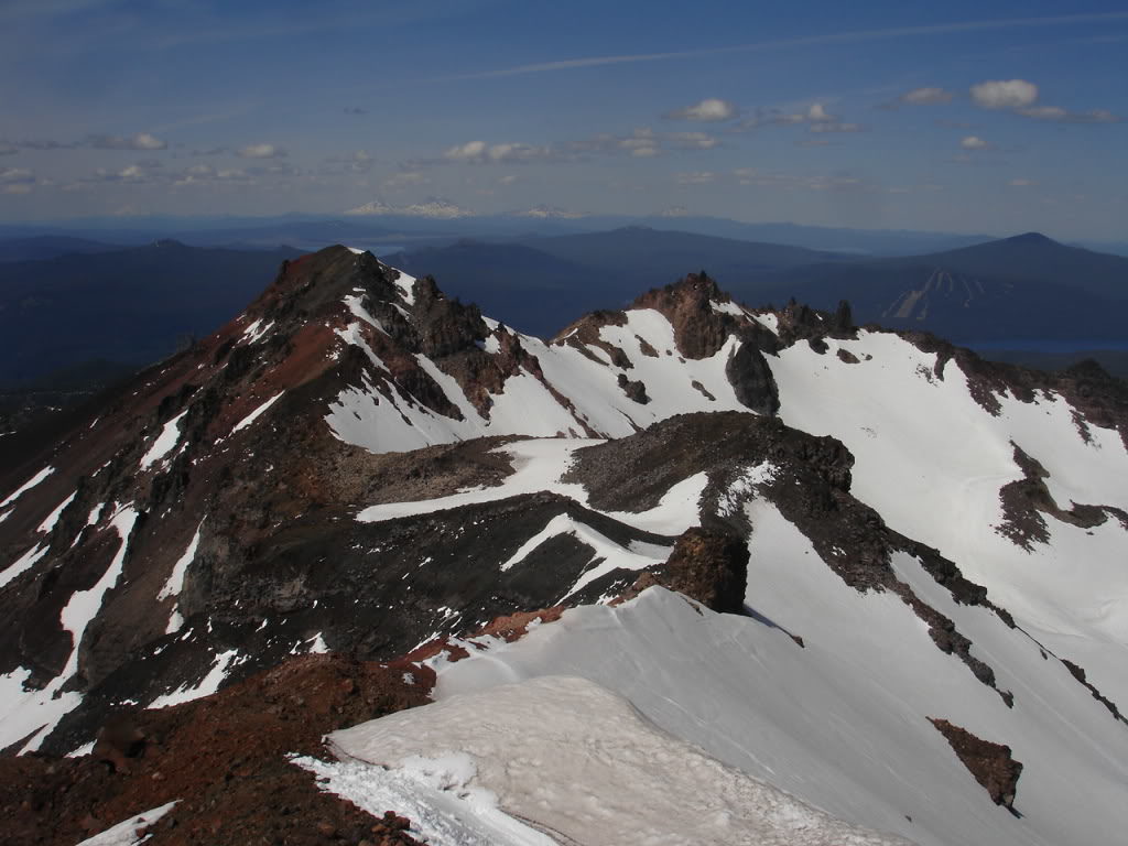
Before long it was time to snowboard back down the north bowl of Diamond Peak. Looking down the slopes I knew if I followed it to snowline I would be nowhere near our ascent trail. Looking off in the distance I knew a road ran north to south with the car parked on it. After a bit of thinking I decided I would ride all the way to the base then head northeast back towards the car. On the summit I could see where the car was parked and kept a mental note of where the sun was.
Soon enough I was snowboarding down the north bowl of Diamond Peak all the way to the end of the snowline. After throwing my board on my backpack I quickly found myself in Oregon jungle. It was a much more direct route as I followed the dense forest for 4 miles.
Bushwhacking Through the Oregon Jungle
Before I knew it I was back on the forest road and after a mile on the road was back at Jon’s truck. After throwing our wet gear in the back of the truck we were soon off to check out the North Sister.
In conclusion Diamond peak offers a variety of slopes to choose from. You could easily ride multiple different bowls within the area with terrain suitable for ever level of ability. Using the sun as a reference was a great for navigational purposes but would pale in comparison to using a compass. Thank you to all the people who have help me along the and to Jon for being a great partner.

